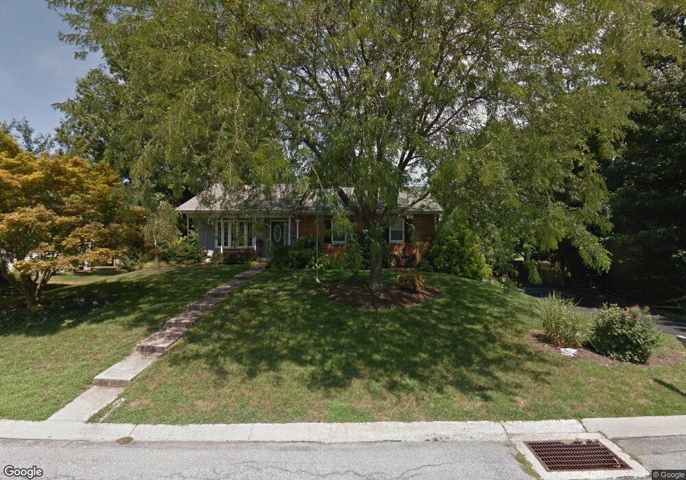
165 Brookside Ave Hershey, PA 17033
Estimated Value: $365,248 - $408,000
3
Beds
2
Baths
1,344
Sq Ft
$293/Sq Ft
Est. Value
About This Home
This home is located at 165 Brookside Ave, Hershey, PA 17033 and is currently estimated at $393,812, approximately $293 per square foot. 165 Brookside Ave is a home located in Dauphin County with nearby schools including Hershey Elementary School, Hershey Primary Elementary School, and Hershey Middle School.
Ownership History
Date
Name
Owned For
Owner Type
Purchase Details
Closed on
Oct 20, 2019
Sold by
Bingeman Brian S and Bingeman Susan L
Bought by
Friedman Pamela
Current Estimated Value
Home Financials for this Owner
Home Financials are based on the most recent Mortgage that was taken out on this home.
Original Mortgage
$252,835
Outstanding Balance
$224,772
Interest Rate
4.25%
Mortgage Type
FHA
Estimated Equity
$169,040
Create a Home Valuation Report for This Property
The Home Valuation Report is an in-depth analysis detailing your home's value as well as a comparison with similar homes in the area
Home Values in the Area
Average Home Value in this Area
Purchase History
| Date | Buyer | Sale Price | Title Company |
|---|---|---|---|
| Friedman Pamela | $257,500 | Amrock |
Source: Public Records
Mortgage History
| Date | Status | Borrower | Loan Amount |
|---|---|---|---|
| Open | Friedman Pamela | $252,835 |
Source: Public Records
Tax History Compared to Growth
Tax History
| Year | Tax Paid | Tax Assessment Tax Assessment Total Assessment is a certain percentage of the fair market value that is determined by local assessors to be the total taxable value of land and additions on the property. | Land | Improvement |
|---|---|---|---|---|
| 2025 | $4,066 | $130,100 | $36,000 | $94,100 |
| 2024 | $3,822 | $130,100 | $36,000 | $94,100 |
| 2023 | $3,753 | $130,100 | $36,000 | $94,100 |
| 2022 | $3,670 | $130,100 | $36,000 | $94,100 |
| 2021 | $3,670 | $130,100 | $36,000 | $94,100 |
| 2020 | $3,670 | $130,100 | $36,000 | $94,100 |
| 2019 | $3,604 | $130,100 | $36,000 | $94,100 |
| 2018 | $3,508 | $130,100 | $36,000 | $94,100 |
| 2017 | $3,508 | $130,100 | $36,000 | $94,100 |
| 2016 | $0 | $130,100 | $36,000 | $94,100 |
| 2015 | -- | $130,100 | $36,000 | $94,100 |
| 2014 | -- | $130,100 | $36,000 | $94,100 |
Source: Public Records
Map
Nearby Homes
- 0 Stauffers Church Rd Unit PADA2052308
- 32 Cambridge Dr
- 340 Hilltop Rd
- 72 Leearden Rd
- 49 Sylvania Rd
- 104 Cambridge Dr
- 55 Ridgeview Rd
- 0 Hill Church Rd
- 729 Hilltop Ln
- 560 Hill Church Rd
- 29 Almond Dr
- 1300 Sand Hill Rd
- 81 Locust Ave
- 688 Heiden Dr
- 1030 Beech Ave
- 751 Zermatt Dr
- 519 Cedar Ave
- 118 Elm Ave
- 571 Beech Ave
- 124 Maple Ave
- 155 Brookside Ave
- 166 Brookside Ave
- 775 Tallyho Dr
- 145 Brookside Ave
- 146 Brookside Ave
- 221 Lamp Post Ln
- 1540 Church Rd
- 181 Lamp Post Ln
- 135 Brookside Ave
- 171 Lamp Post Ln
- 229 Lamp Post Ln
- 00 Church Rd
- 324 Vesper Rd
- 136 Brookside Ave
- 332 Vesper Rd
- 161 Lamp Post Ln
- 318 Vesper Rd
- 237 Lamp Post Ln
- 125 Brookside Ave
- 1524 Church Rd