165 Dunton Circle Lot 31 Hampden, ME 04444
Estimated Value: $710,590 - $802,000
3
Beds
3
Baths
3,192
Sq Ft
$238/Sq Ft
Est. Value
About This Home
This home is located at 165 Dunton Circle Lot 31, Hampden, ME 04444 and is currently estimated at $758,148, approximately $237 per square foot. 165 Dunton Circle Lot 31 is a home located in Penobscot County.
Ownership History
Date
Name
Owned For
Owner Type
Purchase Details
Closed on
Nov 24, 2015
Sold by
Stowell Brooke A and Kinne James W
Bought by
Oroak Jonah C and Oroak Megan I
Current Estimated Value
Home Financials for this Owner
Home Financials are based on the most recent Mortgage that was taken out on this home.
Original Mortgage
$26,000
Outstanding Balance
$10,300
Interest Rate
3%
Mortgage Type
Adjustable Rate Mortgage/ARM
Estimated Equity
$747,848
Purchase Details
Closed on
May 21, 2014
Sold by
Ssr Llc
Bought by
Stowell Brooke A and Kinne James W
Home Financials for this Owner
Home Financials are based on the most recent Mortgage that was taken out on this home.
Original Mortgage
$37,520
Interest Rate
4%
Mortgage Type
Adjustable Rate Mortgage/ARM
Create a Home Valuation Report for This Property
The Home Valuation Report is an in-depth analysis detailing your home's value as well as a comparison with similar homes in the area
Home Values in the Area
Average Home Value in this Area
Purchase History
| Date | Buyer | Sale Price | Title Company |
|---|---|---|---|
| Oroak Jonah C | -- | -- | |
| Stowell Brooke A | -- | -- |
Source: Public Records
Mortgage History
| Date | Status | Borrower | Loan Amount |
|---|---|---|---|
| Open | Oroak Jonah C | $26,000 | |
| Previous Owner | Stowell Brooke A | $37,520 |
Source: Public Records
Tax History Compared to Growth
Tax History
| Year | Tax Paid | Tax Assessment Tax Assessment Total Assessment is a certain percentage of the fair market value that is determined by local assessors to be the total taxable value of land and additions on the property. | Land | Improvement |
|---|---|---|---|---|
| 2024 | $8,629 | $551,400 | $105,100 | $446,300 |
| 2023 | $8,697 | $451,800 | $86,100 | $365,700 |
| 2022 | $8,394 | $405,500 | $77,300 | $328,200 |
| 2021 | $8,394 | $405,500 | $77,300 | $328,200 |
| 2020 | $8,599 | $421,500 | $77,300 | $344,200 |
| 2019 | $7,993 | $391,800 | $75,000 | $316,800 |
| 2018 | $7,679 | $391,800 | $75,000 | $316,800 |
| 2017 | $7,264 | $394,800 | $75,000 | $319,800 |
| 2016 | $1,019 | $56,000 | $56,000 | $0 |
| 2015 | $980 | $56,000 | $56,000 | $0 |
| 2014 | $980 | $56,000 | $56,000 | $0 |
| 2013 | $932 | $56,000 | $56,000 | $0 |
Source: Public Records
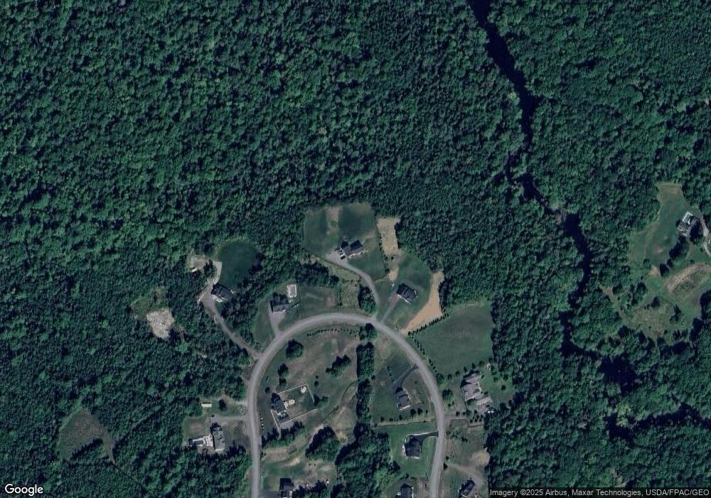
Map
Nearby Homes
- 594 Western Ave
- TBD Western Ave
- 42 Patterson Rd
- 0 Western Ave Unit 21258039
- 45 Hughes Blvd
- 338 Western Ave
- 14 Hermon Pond Rd
- 327 Western Ave
- 9 Patterson Rd
- 287 Partridge Ln
- 273 Partridge Ln
- 283 Partridge Ln
- 73 Papermill Rd
- 0 Rt 1a (Honey Hill Estates) Unit Lot 7
- 0 Rt 1a (Honey Hill Estates) Unit Lot 19
- 0 Rt 1a (Honey Hill Estates) Unit Lot 2
- 0 Rt 1a (Honey Hill Estates) Unit Lot 10
- 135 Mayo Rd Unit G
- 128 Mayo Rd Unit D
- 128 Mayo Rd Unit K
- 165 Dunton Cir
- 171 Dunton Cir
- 155 Dunton Circle Lot 32
- 155 Dunton Cir
- Lot 46 Dunton Cir
- 145 Dunton Cir
- 178 Dunton Cir
- 178 Dunton Circle Lot 44
- Lot # 34 Dunton Cir
- 124 Dunton Cir
- 185 Dunton Cir
- Lot 41 Dunton (Hawthorne Ridge) Cir
- Lot 39 Dunton Cir
- 127 Dunton Circle Lot 36
- 200 Dunton Cir
- Lot 39 Dunton Circle (Hawthorne Ridge
- Lot 45 Dunton (Hawthorne Ridge) Cir
- Lot 45 Dunton Cir
- Lot 43 Dunton Cir
- 45 Dunton Cir