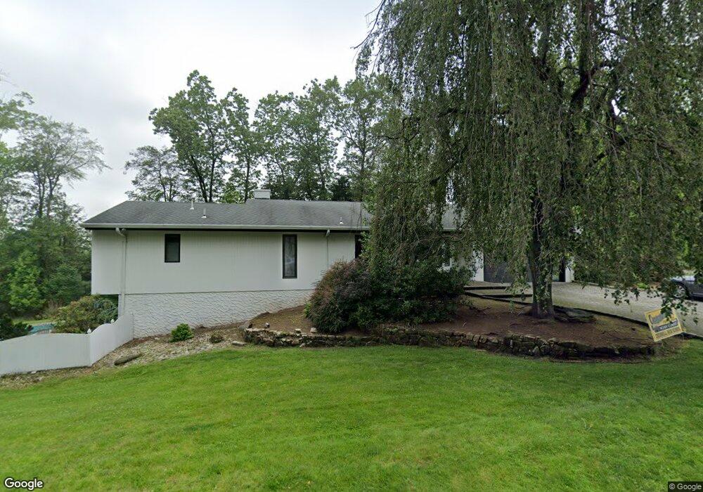
165 Hoover Dr Cresskill, NJ 07626
Estimated Value: $1,383,000 - $2,161,000
--
Bed
--
Bath
1,781
Sq Ft
$917/Sq Ft
Est. Value
About This Home
This home is located at 165 Hoover Dr, Cresskill, NJ 07626 and is currently estimated at $1,633,047, approximately $916 per square foot. 165 Hoover Dr is a home located in Bergen County with nearby schools including Cresskill High School, Spring School, and Academy Of The Holy Angels.
Ownership History
Date
Name
Owned For
Owner Type
Purchase Details
Closed on
Oct 27, 2015
Sold by
Collins Allen H and Collins Stephanie A
Bought by
Coriat David and Coriat Jessica
Current Estimated Value
Home Financials for this Owner
Home Financials are based on the most recent Mortgage that was taken out on this home.
Original Mortgage
$1,048,000
Outstanding Balance
$826,536
Interest Rate
3.87%
Mortgage Type
New Conventional
Estimated Equity
$806,511
Purchase Details
Closed on
Sep 6, 2000
Bought by
Collins Allen H
Home Financials for this Owner
Home Financials are based on the most recent Mortgage that was taken out on this home.
Original Mortgage
$25,000
Interest Rate
8.1%
Create a Home Valuation Report for This Property
The Home Valuation Report is an in-depth analysis detailing your home's value as well as a comparison with similar homes in the area
Home Values in the Area
Average Home Value in this Area
Purchase History
| Date | Buyer | Sale Price | Title Company |
|---|---|---|---|
| Coriat David | $310,000 | Berkshire Abstract & Title | |
| Collins Allen H | -- | -- | |
| Collins Allen H | -- | -- |
Source: Public Records
Mortgage History
| Date | Status | Borrower | Loan Amount |
|---|---|---|---|
| Open | Coriat David | $1,048,000 | |
| Previous Owner | Collins Allen H | $25,000 |
Source: Public Records
Tax History Compared to Growth
Tax History
| Year | Tax Paid | Tax Assessment Tax Assessment Total Assessment is a certain percentage of the fair market value that is determined by local assessors to be the total taxable value of land and additions on the property. | Land | Improvement |
|---|---|---|---|---|
| 2025 | $23,444 | $1,079,900 | $644,500 | $435,400 |
| 2024 | $22,653 | $1,019,300 | $599,500 | $419,800 |
| 2023 | $22,152 | $976,000 | $567,000 | $409,000 |
| 2022 | $22,152 | $920,300 | $527,000 | $393,300 |
| 2021 | $21,538 | $882,000 | $509,500 | $372,500 |
| 2020 | $21,248 | $873,700 | $507,000 | $366,700 |
| 2019 | $21,093 | $876,300 | $504,500 | $371,800 |
| 2018 | $14,768 | $875,900 | $497,000 | $378,900 |
| 2017 | $23,028 | $846,000 | $500,000 | $346,000 |
| 2016 | $22,269 | $843,200 | $500,000 | $343,200 |
| 2015 | $21,577 | $843,200 | $500,000 | $343,200 |
| 2014 | $20,928 | $843,200 | $500,000 | $343,200 |
Source: Public Records
Map
Nearby Homes
- 88 Eisenhower Dr
- 160 Hoover Dr
- 151 Hoover Dr
- 171 Hoover Dr
- 80 Eisenhower Dr
- 150 Hoover Dr
- 110 Eisenhower Dr
- 87 Eisenhower Dr
- 101 Eisenhower Dr
- 142 Hoover Dr
- 17 Loman Ct
- 72 Eisenhower Dr
- 181 Hoover Dr
- 109 Eisenhower Dr
- 178 Hoover Dr
- 139 Hoover Dr
- 63 Eisenhower Dr
- 134 Hoover Dr
- 23 Loman Ct
- 126 Eisenhower Dr