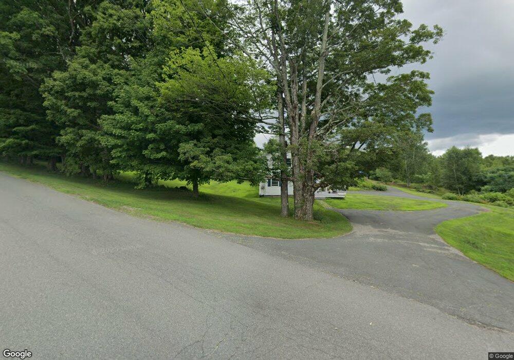
165 Reynolds Rd Shelburne Falls, MA 01370
Estimated Value: $436,316 - $554,000
5
Beds
2
Baths
2,273
Sq Ft
$217/Sq Ft
Est. Value
About This Home
This home is located at 165 Reynolds Rd, Shelburne Falls, MA 01370 and is currently estimated at $493,329, approximately $217 per square foot. 165 Reynolds Rd is a home located in Franklin County with nearby schools including Mohawk Trail Regional High School.
Ownership History
Date
Name
Owned For
Owner Type
Purchase Details
Closed on
Mar 2, 2011
Sold by
Mitchell Robert V and Mitchell Terri A
Bought by
Mitchell Terri A
Current Estimated Value
Purchase Details
Closed on
Sep 11, 2009
Sold by
Int Mitchell and Mitchell Robert V
Bought by
Mitchell Robert and Mitchell Terri A
Home Financials for this Owner
Home Financials are based on the most recent Mortgage that was taken out on this home.
Original Mortgage
$228,000
Interest Rate
5.36%
Mortgage Type
Purchase Money Mortgage
Purchase Details
Closed on
May 7, 2007
Sold by
Mitchell Eleanor L and Mitchell Robert V
Bought by
Int Mitchell and Mitchell Eleanor L
Create a Home Valuation Report for This Property
The Home Valuation Report is an in-depth analysis detailing your home's value as well as a comparison with similar homes in the area
Home Values in the Area
Average Home Value in this Area
Purchase History
| Date | Buyer | Sale Price | Title Company |
|---|---|---|---|
| Mitchell Terri A | -- | -- | |
| Mitchell Robert | $285,000 | -- | |
| Int Mitchell | -- | -- |
Source: Public Records
Mortgage History
| Date | Status | Borrower | Loan Amount |
|---|---|---|---|
| Previous Owner | Mitchell Robert | $228,000 |
Source: Public Records
Tax History Compared to Growth
Tax History
| Year | Tax Paid | Tax Assessment Tax Assessment Total Assessment is a certain percentage of the fair market value that is determined by local assessors to be the total taxable value of land and additions on the property. | Land | Improvement |
|---|---|---|---|---|
| 2025 | $4,552 | $354,500 | $92,300 | $262,200 |
| 2024 | $4,386 | $330,800 | $92,300 | $238,500 |
| 2023 | $4,514 | $330,700 | $92,200 | $238,500 |
| 2022 | $4,764 | $328,800 | $92,100 | $236,700 |
| 2021 | $4,486 | $310,000 | $83,400 | $226,600 |
| 2020 | $4,334 | $310,000 | $83,400 | $226,600 |
| 2019 | $4,147 | $288,200 | $79,000 | $209,200 |
| 2018 | $3,960 | $251,300 | $42,400 | $208,900 |
| 2017 | $3,748 | $252,400 | $42,400 | $210,000 |
| 2015 | $3,735 | $268,900 | $40,300 | $228,600 |
| 2014 | $3,662 | $268,900 | $40,300 | $228,600 |
Source: Public Records
Map
Nearby Homes
- 0 Fiske Mill Rd
- 3+5 Church St
- 105 - 107 Bridge St
- 151 Smead Hill Rd
- 10 Deerfield Ave Unit 5
- 10 Deerfield Ave Unit 2
- 33 Williams St
- 27 Lunt Dr
- 102 Elm St
- 2151 Route 2
- 2155 Massachusetts 2
- 336 Plain Rd
- 187 Plain Rd
- 22 Princeton Terrace Unit 22
- 414 Mohawk Trail
- 104 Leyden Rd
- 6 Keegan Ln Unit E
- 4 Pickett Ln
- 6 Pickett Ln
- 23 Robbins Rd
- 191 Reynolds Rd
- 125 Reynolds Rd
- 212 Reynolds Rd
- 307 Patten Rd
- 486 Little Mohawk Rd
- 510 Little Mohawk Rd
- 91 Reynolds Rd
- 474 Little Mohawk Rd
- 462 Little Mohawk Rd
- 465 Little Mohawk Rd
- 475 Little Mohawk Rd
- 461 Little Mohawk Rd
- 78 Reynolds Rd
- 77 Reynolds Rd
- 68 Reynolds Rd
- 431 Little Mohawk Rd
- 589 Little Mohawk Rd
- 50 Reynolds Rd
- 28 Reynolds Rd
- 417 Little Mohawk Rd