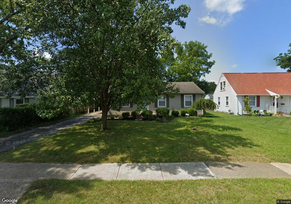
165 Topsfield Rd Columbus, OH 43228
Estimated Value: $170,000 - $235,000
3
Beds
2
Baths
1,066
Sq Ft
$196/Sq Ft
Est. Value
About This Home
This home is located at 165 Topsfield Rd, Columbus, OH 43228 and is currently estimated at $208,978, approximately $196 per square foot. 165 Topsfield Rd is a home located in Franklin County with nearby schools including Prairie Lincoln Elementary School, Galloway Ridge Intermediate School, and Norton Middle School.
Ownership History
Date
Name
Owned For
Owner Type
Purchase Details
Closed on
Jun 8, 2004
Sold by
The Bank Of New York
Bought by
Lucas Andrew T
Current Estimated Value
Purchase Details
Closed on
May 5, 2004
Sold by
Foreman Clester D
Bought by
The Bank Of New York and Equicredit Corp Trust 2001-2
Purchase Details
Closed on
Aug 12, 1999
Sold by
Foreman Rhonda M
Bought by
Foreman Clester D
Purchase Details
Closed on
May 5, 1999
Sold by
Stallard Raleigh M and Stallard Rosemary
Bought by
Foreman Rhonda M and Foreman Clester D
Home Financials for this Owner
Home Financials are based on the most recent Mortgage that was taken out on this home.
Original Mortgage
$76,500
Interest Rate
9.75%
Purchase Details
Closed on
Jun 24, 1969
Bought by
Stallard Raleigh M
Create a Home Valuation Report for This Property
The Home Valuation Report is an in-depth analysis detailing your home's value as well as a comparison with similar homes in the area
Home Values in the Area
Average Home Value in this Area
Purchase History
| Date | Buyer | Sale Price | Title Company |
|---|---|---|---|
| Lucas Andrew T | $75,500 | Resource Ti | |
| The Bank Of New York | $70,000 | Resource Ti | |
| Foreman Clester D | $2,000 | -- | |
| Foreman Rhonda M | $79,000 | -- | |
| Stallard Raleigh M | -- | -- |
Source: Public Records
Mortgage History
| Date | Status | Borrower | Loan Amount |
|---|---|---|---|
| Previous Owner | Foreman Rhonda M | $76,500 |
Source: Public Records
Tax History
| Year | Tax Paid | Tax Assessment Tax Assessment Total Assessment is a certain percentage of the fair market value that is determined by local assessors to be the total taxable value of land and additions on the property. | Land | Improvement |
|---|---|---|---|---|
| 2025 | $2,793 | $58,320 | $17,820 | $40,500 |
| 2024 | $2,793 | $58,320 | $17,820 | $40,500 |
| 2023 | $2,678 | $58,320 | $17,820 | $40,500 |
| 2022 | $2,229 | $33,810 | $3,990 | $29,820 |
| 2021 | $2,263 | $33,810 | $3,990 | $29,820 |
| 2020 | $2,243 | $33,810 | $3,990 | $29,820 |
| 2019 | $2,191 | $28,810 | $3,330 | $25,480 |
| 2018 | $2,091 | $28,810 | $3,330 | $25,480 |
| 2017 | $2,012 | $28,810 | $3,330 | $25,480 |
| 2016 | $2,062 | $26,960 | $6,410 | $20,550 |
| 2015 | $2,062 | $26,960 | $6,410 | $20,550 |
| 2014 | $2,027 | $26,960 | $6,410 | $20,550 |
| 2013 | $1,193 | $31,710 | $7,525 | $24,185 |
Source: Public Records
Map
Nearby Homes
- 89 Postle Blvd
- 110 Inah Ave
- 104 Oxley Rd
- 381 Pasadena Ave
- 87 Tarryton Ct W Unit 18D
- 69 Lawrence Ave
- 129 Beacon Run W Unit 21C
- 4723 Tarryton Ct S Unit 14-E
- 5409 Longworth Dr
- 218 Darbyhurst Rd
- 399 Carilla Ln
- 329 Weymouth Ln
- 4682 Arnold Ave
- 4637 Hilton Ave
- 257 S Murray Hill Rd
- 4647 Henley Ave
- 480 Yarmouth Ln
- 404 Old Village Rd
- 400 Evergreen Terrace
- 429 Postle Blvd
- 173 Topsfield Rd
- 161 Topsfield Rd
- 155 Topsfield Rd
- 156 Sturbridge Rd
- 183 Topsfield Rd
- 148 Sturbridge Rd
- 174 Sturbridge Rd
- 5023 Taunton Way
- 140 Sturbridge Rd
- 180 Topsfield Rd
- 189 Topsfield Rd
- 182 Sturbridge Rd
- 5036 Beacon Hill Rd
- 5046 Beacon Hill Rd
- 150 Topsfield Rd
- 199 Topsfield Rd
- 190 Sturbridge Rd
- 5016 Taunton Way
- 126 Sturbridge Rd
- 128 Sturbridge Rd
Your Personal Tour Guide
Ask me questions while you tour the home.