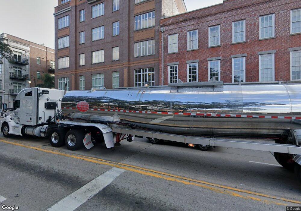
165 W Bay St Unit 501W Savannah, GA 31401
Historic Savannah NeighborhoodEstimated Value: $521,000 - $1,008,000
2
Beds
2
Baths
1,447
Sq Ft
$501/Sq Ft
Est. Value
About This Home
This home is located at 165 W Bay St Unit 501W, Savannah, GA 31401 and is currently estimated at $724,857, approximately $500 per square foot. 165 W Bay St Unit 501W is a home located in Chatham County with nearby schools including Otis J. Brock Elementary School, Mercer Middle School, and Groves High School.
Ownership History
Date
Name
Owned For
Owner Type
Purchase Details
Closed on
Apr 30, 2019
Sold by
Foohey David
Bought by
River Homes 501 Llc
Current Estimated Value
Purchase Details
Closed on
Jun 13, 2016
Sold by
Flynn Paul J
Bought by
Foohey David J and Foohey Nancy A
Purchase Details
Closed on
Apr 25, 2013
Sold by
Williams Richard B
Bought by
Flynn Paul J and Flynn Ann H
Purchase Details
Closed on
Oct 7, 2008
Sold by
Not Provided
Bought by
Williams Richard B
Create a Home Valuation Report for This Property
The Home Valuation Report is an in-depth analysis detailing your home's value as well as a comparison with similar homes in the area
Home Values in the Area
Average Home Value in this Area
Purchase History
| Date | Buyer | Sale Price | Title Company |
|---|---|---|---|
| River Homes 501 Llc | -- | -- | |
| Foohey David J | $560,000 | -- | |
| Flynn Paul J | $575,000 | -- | |
| Williams Richard B | $670,000 | -- |
Source: Public Records
Tax History Compared to Growth
Tax History
| Year | Tax Paid | Tax Assessment Tax Assessment Total Assessment is a certain percentage of the fair market value that is determined by local assessors to be the total taxable value of land and additions on the property. | Land | Improvement |
|---|---|---|---|---|
| 2025 | $7,125 | $341,000 | $56,000 | $285,000 |
| 2024 | $7,125 | $259,920 | $67,200 | $192,720 |
| 2023 | $3,334 | $273,240 | $67,200 | $206,040 |
| 2022 | $3,078 | $252,320 | $67,200 | $185,120 |
| 2021 | $11,035 | $242,000 | $67,200 | $174,800 |
| 2020 | $6,474 | $205,040 | $67,200 | $137,840 |
| 2019 | $9,110 | $205,040 | $67,200 | $137,840 |
| 2018 | $7,662 | $200,440 | $67,200 | $133,240 |
| 2017 | $7,666 | $182,480 | $67,200 | $115,280 |
| 2016 | $5,388 | $184,680 | $67,200 | $117,480 |
| 2015 | $6,728 | $161,320 | $0 | $161,320 |
| 2014 | $8,779 | $160,480 | $0 | $0 |
Source: Public Records
Map
Nearby Homes
- 212 W Lower Factors Walk
- 101 Barnard St Unit 203
- 310 W Broughton St Unit 3011
- 310 W Broughton St Unit 2000
- 411 W Congress St Unit 5
- 20 W Oglethorpe Ave Unit D
- 105 W Oglethorpe Ave Unit 102
- 105 W Oglethorpe Ave
- 105 W Oglethorpe Ave Unit 307
- 210 E State St Unit 35
- 216 E State St Unit 3D (12)
- 20 W Hull St
- 116 E Oglethorpe Ave
- 232 E Broughton St
- 117 Lincoln St Unit 5A
- 117 Lincoln St Unit 4A
- 326 E Bryan St
- 228 E Oglethorpe Ave
- 2 E Perry Ln Unit s A, B and C
- 302 E Oglethorpe Ave Unit 402
- 165 W Bay St Unit 402W
- 165 W Bay St Unit 603
- 165 W Bay St Unit 503
- 165 W Bay St Unit 303W
- 165 W Bay (Unit 205w) St Unit 205W
- 165 W Bay St Unit 404
- 165 W Bay St Unit 205
- 165 W Bay St Unit 302
- 165 W Bay St
- 165 W Bay (Unit 301) St Unit 301
- 165 W Bay St Unit 404
- 165 W Bay St Unit 306W
- 165 W Bay St Unit 204
- 165 W Bay St Unit 602
- 165 W Bay St Unit ID1244806P
- 165 W Bay St Unit 301
- 165 W Bay St Unit 601
- 165 W Bay St Unit 401
- 165 W Bay St Unit 206W
- 165 W Bay St Unit 305W
