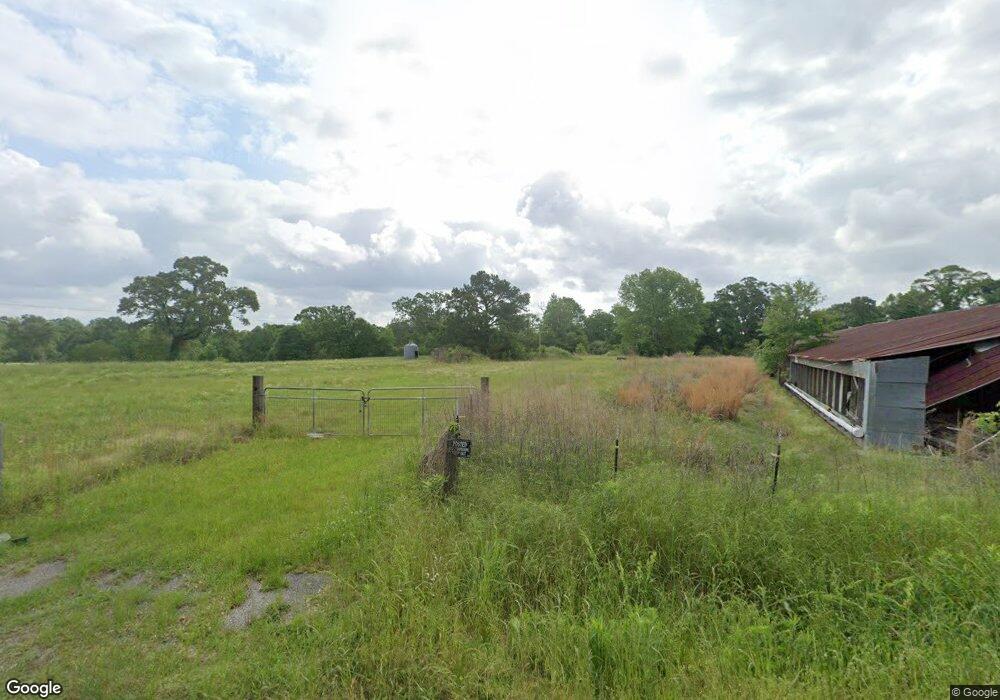
165 Whatley Rd Brooklyn, MS 39425
Estimated Value: $155,000 - $209,000
3
Beds
2
Baths
1,890
Sq Ft
$96/Sq Ft
Est. Value
About This Home
This home is located at 165 Whatley Rd, Brooklyn, MS 39425 and is currently estimated at $182,347, approximately $96 per square foot. 165 Whatley Rd is a home located in Perry County with nearby schools including Perry Central Middle School and Perry Central High School.
Ownership History
Date
Name
Owned For
Owner Type
Purchase Details
Closed on
Nov 6, 2025
Sold by
Joiner Michael and Joiner Briana
Bought by
Taylor Robert Kyle and Lowry Lakin
Current Estimated Value
Home Financials for this Owner
Home Financials are based on the most recent Mortgage that was taken out on this home.
Original Mortgage
$216,015
Outstanding Balance
$215,608
Interest Rate
6.3%
Mortgage Type
FHA
Estimated Equity
-$33,261
Purchase Details
Closed on
May 11, 2012
Sold by
Whatley David B and Whatley Karen S
Bought by
Dobbs Lisa Gayle
Purchase Details
Closed on
Feb 13, 2006
Sold by
Whatley David B
Bought by
Whatley David B and Whatley Karen S
Create a Home Valuation Report for This Property
The Home Valuation Report is an in-depth analysis detailing your home's value as well as a comparison with similar homes in the area
Purchase History
| Date | Buyer | Sale Price | Title Company |
|---|---|---|---|
| Taylor Robert Kyle | -- | Deep South Title | |
| Dobbs Lisa Gayle | -- | -- | |
| Whatley David B | -- | -- |
Source: Public Records
Mortgage History
| Date | Status | Borrower | Loan Amount |
|---|---|---|---|
| Open | Taylor Robert Kyle | $216,015 | |
| Closed | Taylor Robert Kyle | $216,015 |
Source: Public Records
Tax History Compared to Growth
Tax History
| Year | Tax Paid | Tax Assessment Tax Assessment Total Assessment is a certain percentage of the fair market value that is determined by local assessors to be the total taxable value of land and additions on the property. | Land | Improvement |
|---|---|---|---|---|
| 2025 | $608 | $8,055 | $0 | $0 |
| 2024 | $610 | $8,056 | $0 | $0 |
| 2023 | $536 | $8,058 | $0 | $0 |
| 2022 | $510 | $8,058 | $0 | $0 |
| 2021 | $464 | $7,601 | $0 | $0 |
| 2020 | $464 | $7,603 | $0 | $0 |
| 2019 | $616 | $8,939 | $0 | $0 |
| 2018 | $188 | $9,016 | $0 | $0 |
| 2017 | $188 | $9,268 | $0 | $0 |
| 2016 | $181 | $9,193 | $0 | $0 |
| 2015 | $167 | $9,120 | $0 | $0 |
| 2014 | -- | $9,051 | $0 | $0 |
Source: Public Records
Map
Nearby Homes
- 9641 F S 301
- 1914 Mississippi 29
- 67 Main Ave
- 00 Main Ave
- 32 ac U S 49
- 0 Moffett Rd
- 104.06 ac Cozy Corner and Old Hwy 49
- 0 Pap Armstrong Rd
- 23 Tower Rd
- 000 E Bond Rd
- 0 J Bailey Rd
- 000 J Bailey Rd
- 174 Pap Armstrong Rd
- 52 Jack Davis Rd
- 112 Pap Armstrong Rd
- 104 Matthew Johnson Rd
- 0 Matthew Johnson Rd
- 0000 Us Highway 98
- 000 US Highway 98
- 0 US Highway 98