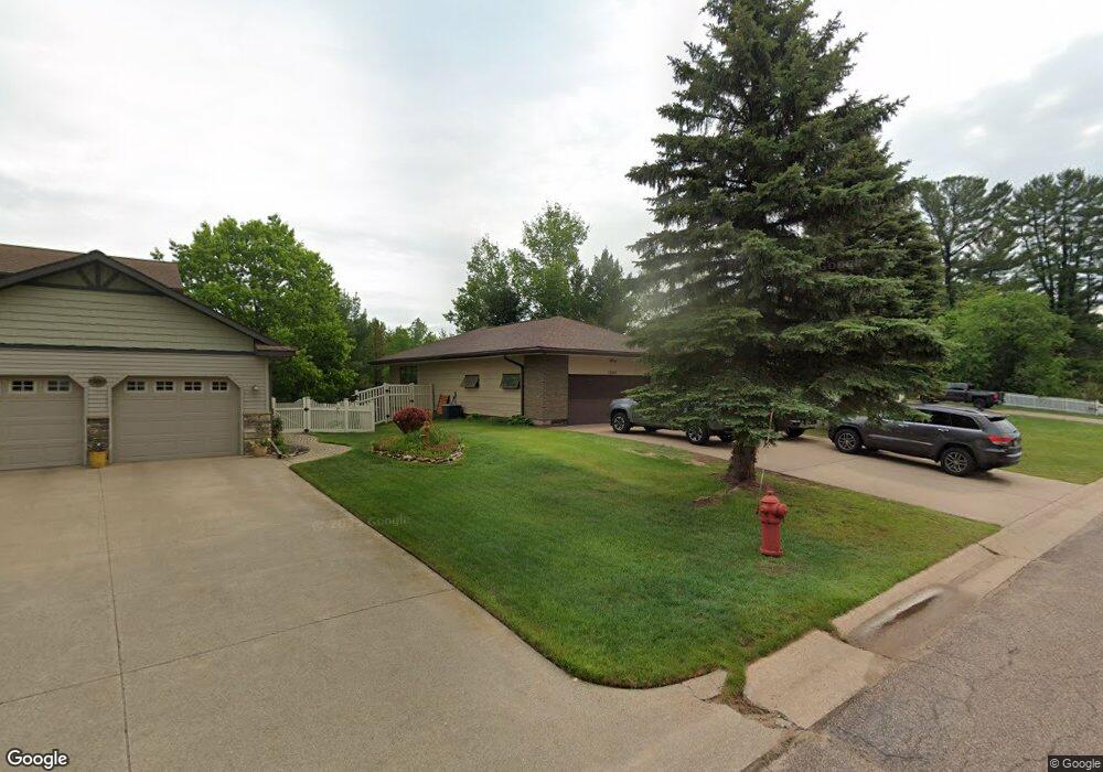
1650 Ellsworth St Ishpeming, MI 49849
Estimated Value: $45,000 - $235,000
Studio
--
Bath
--
Sq Ft
65,776
Sq Ft Lot
About This Home
This home is located at 1650 Ellsworth St, Ishpeming, MI 49849 and is currently estimated at $140,000. 1650 Ellsworth St is a home located in Marquette County with nearby schools including Aspen Ridge School and Westwood High School.
Ownership History
Date
Name
Owned For
Owner Type
Purchase Details
Closed on
Aug 17, 2020
Sold by
Williams and Amy
Bought by
Phillips Mike and Phillips Carrie
Current Estimated Value
Purchase Details
Closed on
Oct 20, 2017
Sold by
Saunders Todd A and Saunders Michelle M
Bought by
Williams Kirk and Williams Amy
Home Financials for this Owner
Home Financials are based on the most recent Mortgage that was taken out on this home.
Original Mortgage
$17,120
Interest Rate
3.9%
Mortgage Type
New Conventional
Purchase Details
Closed on
Apr 7, 2010
Bought by
Saunders Todd and Saunders Michelle
Create a Home Valuation Report for This Property
The Home Valuation Report is an in-depth analysis detailing your home's value as well as a comparison with similar homes in the area
Home Values in the Area
Average Home Value in this Area
Purchase History
| Date | Buyer | Sale Price | Title Company |
|---|---|---|---|
| Phillips Mike | $21,500 | Murphy F Gregory | |
| Williams Kirk | $21,500 | Odea Nordeen Burink And Picken | |
| Saunders Todd | $23,900 | -- |
Source: Public Records
Mortgage History
| Date | Status | Borrower | Loan Amount |
|---|---|---|---|
| Previous Owner | Williams Kirk | $17,120 |
Source: Public Records
Tax History
| Year | Tax Paid | Tax Assessment Tax Assessment Total Assessment is a certain percentage of the fair market value that is determined by local assessors to be the total taxable value of land and additions on the property. | Land | Improvement |
|---|---|---|---|---|
| 2025 | $96 | $6,600 | $0 | $0 |
| 2024 | $1 | $6,200 | $0 | $0 |
| 2023 | $61 | $6,100 | $0 | $0 |
| 2022 | $150 | $0 | $0 | $0 |
| 2021 | $250 | $10,700 | $0 | $0 |
| 2020 | $139 | $0 | $0 | $0 |
| 2019 | $0 | $0 | $0 | $0 |
| 2018 | $0 | $0 | $0 | $0 |
| 2017 | $0 | $10,700 | $0 | $0 |
| 2016 | $147 | $10,700 | $0 | $0 |
| 2015 | -- | $10,700 | $0 | $0 |
| 2014 | -- | $10,700 | $0 | $0 |
| 2012 | -- | $7,650 | $0 | $0 |
Source: Public Records
Map
Nearby Homes
- 235 Balsam Ln
- 1755 S Rose St
- 125 Helen St
- 125 Lawrence Ave
- 162 Saginaw St
- 312 W Ridge St
- 200 W Ridge St
- 818 N Pine St
- 114 E Superior St
- 113 N 2nd St
- Lot #10 N Greenwood
- Lot #11 N Greenwood
- 401 Cleveland Ave
- 408 E Empire St
- 635 N 5th St
- 612 Maurice St
- TBD Us Highway 41
- 242 Hill St
- TBD N Greenwood - 3 Dr
- 258 Hill St
- 1650 Ellsworth St
- 1550 N Westwood Cir
- 1560 N Westwood Cir
- 1530 N Westwood Cir
- 1570 N Westwood Cir
- 1670 Ellsworth St
- 245 Balsam Ln
- 1580 N Westwood Cir
- 1520 N Westwood Cir
- 1545 N Westwood Cir
- 1565 N Westwood Cir
- 1535 Cypress St
- 1535 N Westwood Cir
- 1575 Cypress St
- 1575 N Westwood Cir
- 1555/1565 Cypress St Unit 48/49
- 1465 N Westwood Cir
- 1585 N Westwood Cir
- 1540 Cypress St
- 1550 Cypress St
Your Personal Tour Guide
Ask me questions while you tour the home.