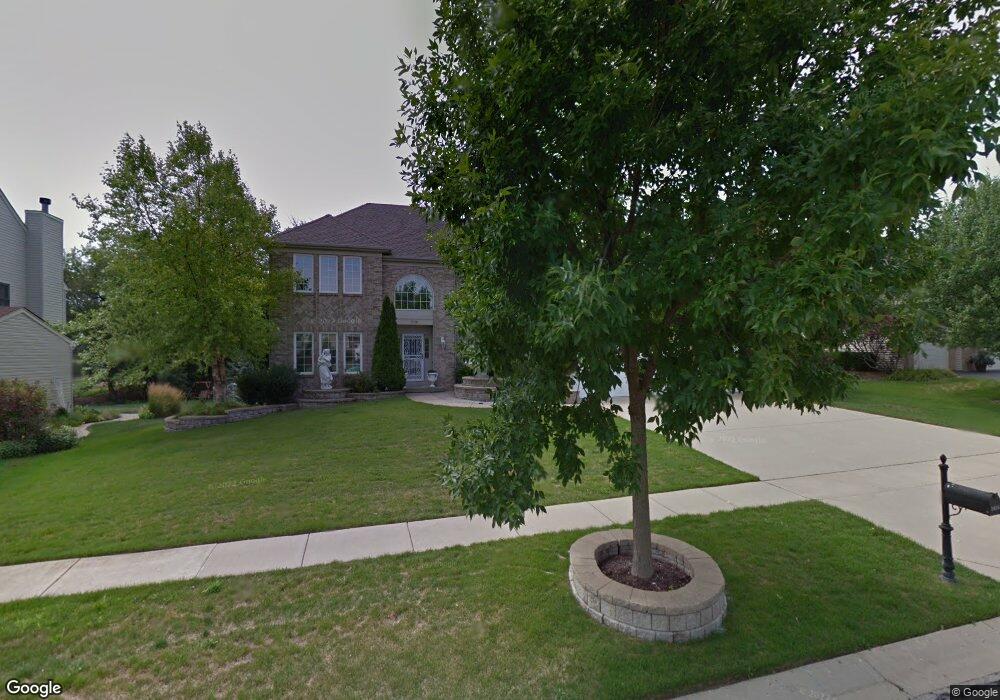
1650 Southridge Trail Algonquin, IL 60102
Estimated Value: $532,129 - $569,000
4
Beds
--
Bath
3,146
Sq Ft
$175/Sq Ft
Est. Value
About This Home
This home is located at 1650 Southridge Trail, Algonquin, IL 60102 and is currently estimated at $549,782, approximately $174 per square foot. 1650 Southridge Trail is a home located in Kane County with nearby schools including Dundee Middle School, Harry D Jacobs High School, and Monmouth-Roseville High School.
Ownership History
Date
Name
Owned For
Owner Type
Purchase Details
Closed on
Nov 10, 2008
Sold by
Mayo Ramon C and Mayo Felisa M
Bought by
Mayo Felisa M
Current Estimated Value
Home Financials for this Owner
Home Financials are based on the most recent Mortgage that was taken out on this home.
Original Mortgage
$399,178
Outstanding Balance
$260,341
Interest Rate
5.95%
Mortgage Type
FHA
Estimated Equity
$289,441
Purchase Details
Closed on
Jun 16, 2000
Sold by
Bhd Highlands Inc
Bought by
Mayo Ramon C and Mayo Felisa M
Home Financials for this Owner
Home Financials are based on the most recent Mortgage that was taken out on this home.
Original Mortgage
$292,050
Interest Rate
8.56%
Create a Home Valuation Report for This Property
The Home Valuation Report is an in-depth analysis detailing your home's value as well as a comparison with similar homes in the area
Home Values in the Area
Average Home Value in this Area
Purchase History
| Date | Buyer | Sale Price | Title Company |
|---|---|---|---|
| Mayo Felisa M | -- | None Available | |
| Mayo Ramon C | $324,500 | Chicago Title Insurance Co |
Source: Public Records
Mortgage History
| Date | Status | Borrower | Loan Amount |
|---|---|---|---|
| Open | Mayo Felisa M | $399,178 | |
| Closed | Mayo Ramon C | $292,050 |
Source: Public Records
Tax History Compared to Growth
Tax History
| Year | Tax Paid | Tax Assessment Tax Assessment Total Assessment is a certain percentage of the fair market value that is determined by local assessors to be the total taxable value of land and additions on the property. | Land | Improvement |
|---|---|---|---|---|
| 2024 | $11,024 | $153,562 | $26,492 | $127,070 |
| 2023 | $10,474 | $138,170 | $23,837 | $114,333 |
| 2022 | $10,265 | $130,604 | $23,837 | $106,767 |
| 2021 | $9,957 | $123,316 | $22,507 | $100,809 |
| 2020 | $9,757 | $120,544 | $22,001 | $98,543 |
| 2019 | $9,460 | $114,434 | $20,886 | $93,548 |
| 2018 | $9,839 | $115,668 | $20,472 | $95,196 |
| 2017 | $9,433 | $108,202 | $19,151 | $89,051 |
| 2016 | $9,668 | $104,766 | $18,543 | $86,223 |
| 2015 | -- | $102,385 | $25,698 | $76,687 |
| 2014 | -- | $99,557 | $24,988 | $74,569 |
| 2013 | -- | $102,604 | $25,753 | $76,851 |
Source: Public Records
Map
Nearby Homes
- 35W788 Burr Oak Ln
- 18N732 Westhill Rd
- 1551 Westbourne Pkwy
- 3314 Blue Ridge Dr
- 1540 Westbourne Pkwy
- 1530 Westbourne Pkwy
- 5 Lancaster Ct
- 2219 Barrett Dr
- 1141 Waterford St
- 1111 Waterford St
- 110 Newburgh Ln
- 3105 Shenandoah Dr
- 1261 Glenmont St
- 1051 Waterford St
- 1101 Waterford St
- 1081 Waterford St
- 1263 Glenmont St
- 1269 Glenmont St
- 1110 Waterford St
- 130 Newburgh Ln
- 1660 Southridge Trail
- 1640 Southridge Trail
- 1630 Southridge Trail
- 1670 Southridge Trail
- 1651 Southridge Trail
- 1641 Southridge Trail
- 36W098 Hollowside Dr
- 1661 Southridge Trail
- 36W070 Hollowside Dr
- 1631 Southridge Trail
- 1671 Southridge Trail
- 36W128 Hollowside Dr
- 1680 Southridge Trail
- 1620 Southridge Trail
- 1621 Southridge Trail
- 36W044 Hollowside Dr
- 7 Highmeadow Ct
- 1130 Southridge Trail
- 5 Highmeadow Ct
- 1610 Southridge Trail