1650 Washington Way Bogart, GA 30622
Estimated Value: $406,000 - $436,000
--
Bed
--
Bath
1,925
Sq Ft
$219/Sq Ft
Est. Value
About This Home
This home is located at 1650 Washington Way, Bogart, GA 30622 and is currently estimated at $421,722, approximately $219 per square foot. 1650 Washington Way is a home with nearby schools including Rocky Branch Elementary School, Malcom Bridge Middle School, and North Oconee High School.
Ownership History
Date
Name
Owned For
Owner Type
Purchase Details
Closed on
Mar 27, 2012
Bought by
Reynolds Marisa M
Current Estimated Value
Home Financials for this Owner
Home Financials are based on the most recent Mortgage that was taken out on this home.
Original Mortgage
$170,750
Interest Rate
3.95%
Mortgage Type
New Conventional
Purchase Details
Closed on
Nov 23, 2011
Purchase Details
Closed on
Jun 21, 2011
Sold by
First American Bank
Bought by
Six Llc
Create a Home Valuation Report for This Property
The Home Valuation Report is an in-depth analysis detailing your home's value as well as a comparison with similar homes in the area
Home Values in the Area
Average Home Value in this Area
Purchase History
| Date | Buyer | Sale Price | Title Company |
|---|---|---|---|
| Reynolds Marisa M | $170,750 | -- | |
| Reynolds Marisa M | $170,800 | -- | |
| -- | $500 | -- | |
| Six Llc | $2,200 | -- |
Source: Public Records
Mortgage History
| Date | Status | Borrower | Loan Amount |
|---|---|---|---|
| Closed | Reynolds Marisa M | $170,750 |
Source: Public Records
Tax History Compared to Growth
Tax History
| Year | Tax Paid | Tax Assessment Tax Assessment Total Assessment is a certain percentage of the fair market value that is determined by local assessors to be the total taxable value of land and additions on the property. | Land | Improvement |
|---|---|---|---|---|
| 2024 | $2,747 | $149,667 | $16,000 | $133,667 |
| 2023 | $2,759 | $146,259 | $16,000 | $130,259 |
| 2022 | $2,729 | $129,188 | $16,000 | $113,188 |
| 2021 | $2,570 | $112,998 | $12,000 | $100,998 |
| 2020 | $2,423 | $106,490 | $12,000 | $94,490 |
| 2019 | $2,228 | $98,094 | $12,000 | $86,094 |
| 2018 | $2,096 | $90,502 | $12,000 | $78,502 |
| 2017 | $1,929 | $83,431 | $12,000 | $71,431 |
| 2016 | $1,818 | $78,772 | $12,000 | $66,772 |
| 2015 | $1,801 | $77,896 | $12,000 | $65,896 |
| 2014 | $1,776 | $75,122 | $12,000 | $63,122 |
| 2013 | -- | $69,184 | $12,000 | $57,184 |
Source: Public Records
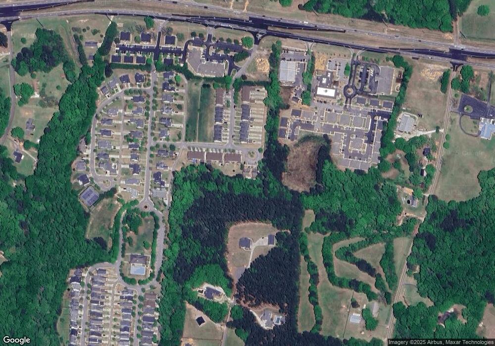
Map
Nearby Homes
- 0 Monroe Hwy Unit 1025452
- 1640 Madison Ct
- 2479 Eisenhower Ave
- 1665 Eisenhower Ave
- 1010 Garland Dr
- 0 Ruth Jackson Rd Unit 10582108
- 00 Ruth Jackson Rd
- 1216 Ray's River Run
- 3377 Clayton Dr
- 3451 Clayton Dr
- 6601 Hog Mountain Hwy - Hwy 53 Unit PARCEL B
- 2130 Keeneland Dr
- 2130 Keeneland Dr
- 3240 Monroe Hwy
- 1120 Liberty Ln
- 0 Whitehead Rd Unit CL335631
- 0 Whitehead Rd Unit 10574962
- 0 Us 78 Hwy
- 1 Us 78 Hwy
- 1250 Pete Dickens Rd
- 1650 Washington Way
- 1708 Washington Way
- 1566 Washington Way
- 1546 Washington Way
- 1476 Washington Way
- 1765 Lincoln Dr Unit 27C
- 1765 Lincoln Dr
- 1739 Lincoln Dr
- 1739 Lincoln Dr Unit 28C
- 1739 Lincoln Dr
- 1396 Washington Way
- 1705 Lincoln Dr Unit 29C
- 1716 Lincoln Dr Unit 10C
- 1705 Lincoln Dr
- 1716 Lincoln Dr
- 1687 Lincoln Dr
- 1687 Lincoln Dr Unit 30C
- 1687 Lincoln Dr
- 1770 Lincoln Dr
- 1661 Lincoln Dr