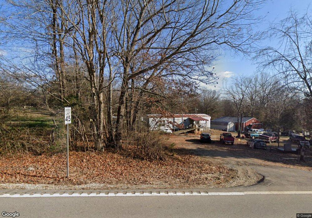
16507 Highway 115 Maynard, AR 72444
Estimated Value: $57,468 - $116,000
Studio
1
Bath
1,008
Sq Ft
$93/Sq Ft
Est. Value
About This Home
This home is located at 16507 Highway 115, Maynard, AR 72444 and is currently estimated at $94,117, approximately $93 per square foot. 16507 Highway 115 is a home located in Randolph County with nearby schools including Maynard Elementary School and Maynard High School.
Ownership History
Date
Name
Owned For
Owner Type
Purchase Details
Closed on
Jul 26, 2000
Bought by
Pierce To White
Current Estimated Value
Purchase Details
Closed on
Sep 13, 1999
Bought by
Pierce To Pierce
Purchase Details
Closed on
Mar 30, 1998
Bought by
White To Pierce
Purchase Details
Closed on
Mar 1, 1994
Bought by
White To White
Purchase Details
Closed on
Nov 1, 1992
Bought by
Sisco To White
Purchase Details
Closed on
Mar 1, 1982
Bought by
Sucka To Sisco
Purchase Details
Closed on
Jan 1, 1982
Bought by
Sucka To Sucka
Create a Home Valuation Report for This Property
The Home Valuation Report is an in-depth analysis detailing your home's value as well as a comparison with similar homes in the area
Purchase History
We collect this data history from publicly available records. To have your information removed, we recommend requesting removal directly through your county’s website.
| Date | Buyer | Sale Price | Title Company |
|---|---|---|---|
| Pierce To White | $13,000 | -- | |
| Pierce To Pierce | -- | -- | |
| White To Pierce | -- | -- | |
| White To White | -- | -- | |
| Sisco To White | $9,000 | -- | |
| Sucka To Sisco | -- | -- | |
| Sucka To Sucka | -- | -- |
Source: Public Records
Tax History
| Year | Tax Paid | Tax Assessment Tax Assessment Total Assessment is a certain percentage of the fair market value that is determined by local assessors to be the total taxable value of land and additions on the property. | Land | Improvement |
|---|---|---|---|---|
| 2025 | $138 | $3,390 | $925 | $2,465 |
| 2024 | $138 | $3,390 | $925 | $2,465 |
| 2023 | $132 | $3,390 | $925 | $2,465 |
| 2022 | $122 | $3,390 | $925 | $2,465 |
| 2021 | $112 | $3,390 | $925 | $2,465 |
| 2020 | $16 | $2,500 | $925 | $1,575 |
| 2019 | $16 | $2,500 | $925 | $1,575 |
| 2018 | $16 | $2,500 | $925 | $1,575 |
| 2017 | $16 | $2,525 | $615 | $1,910 |
| 2016 | $15 | $2,525 | $615 | $1,910 |
| 2015 | $15 | $2,525 | $615 | $1,910 |
| 2014 | $14 | $2,525 | $615 | $1,910 |
Source: Public Records
Map
Nearby Homes
- 37 Acres Acree Rd
- 985 Mosley Rd
- 2251 Middlebrook Rd
- 11459 Missouri 21
- 13322 Arkansas 115
- 77 Mock St
- 35 Highway 328 E
- 152 Lentz St
- TBD Minorca Rd
- Tbd Minorca Rd Unit LotWP001
- 917 Hummingbird Trail
- 11064 Highway 115
- 7687 Ripley Route A
- 8673 Highway 251
- 9000 Highway 251
- 2524 Tucker Rd
- 11048 Highway 251
- 538 Fowler Rd
- 1580 Sierra Loop
- 444 Ripley Route Dd
- 16545 Highway 115
- 16545 Highway 115
- 16538 Highway 115
- 16538 Arkansas 115
- 16439 Highway 115
- 16407 Highway 115
- 56 Middlebrook Rd
- 16395 Highway 115
- 0 Middlebrook Rd
- 116 Middlebrook Rd
- 6398 Warm Springs Rd
- 25 Middlebrook Rd
- 153 Middlebrook Rd
- 16326 Highway 115
- 16315 Highway 115
- 348 Middlebrook Rd
- 16286 Highway 115
- 16834 Highway 115
- 16206 Highway 115
- 349 Middlebrook Rd
Your Personal Tour Guide
Ask me questions while you tour the home.