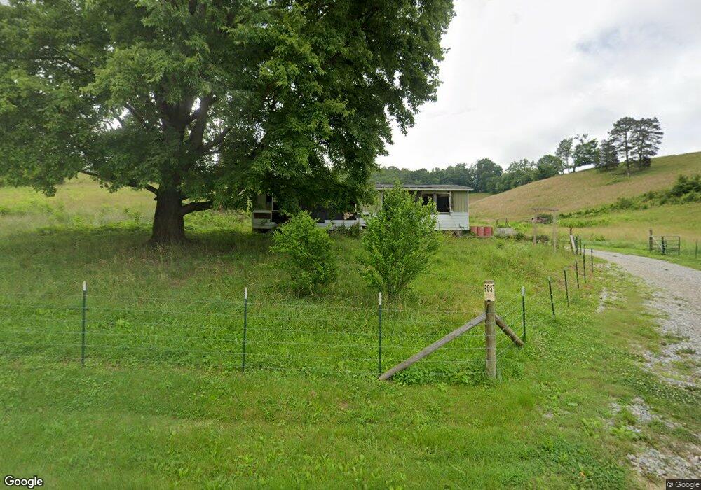
1651 Goin Rd New Tazewell, TN 37825
Estimated Value: $139,177 - $298,000
--
Bed
2
Baths
1,209
Sq Ft
$180/Sq Ft
Est. Value
About This Home
This home is located at 1651 Goin Rd, New Tazewell, TN 37825 and is currently estimated at $217,544, approximately $179 per square foot. 1651 Goin Rd is a home located in Claiborne County.
Ownership History
Date
Name
Owned For
Owner Type
Purchase Details
Closed on
Mar 7, 2022
Sold by
Mark Cupp
Bought by
Cupp Mark
Current Estimated Value
Purchase Details
Closed on
Jan 14, 2010
Sold by
Cupp Mark
Bought by
Cupp Coy
Purchase Details
Closed on
Jan 18, 2008
Sold by
Cupp Mark and Cupp Belinda
Bought by
Louthan Daniel
Purchase Details
Closed on
Jan 5, 2000
Bought by
Goldsmith Sherry
Purchase Details
Closed on
Jan 13, 1994
Sold by
Cupp Coy
Bought by
Cupp Mark
Purchase Details
Closed on
Apr 10, 1989
Bought by
Cupp Coy and Brenda Kaye
Purchase Details
Closed on
Jan 1, 1949
Bought by
Keck Woodrow and Keck Martha
Create a Home Valuation Report for This Property
The Home Valuation Report is an in-depth analysis detailing your home's value as well as a comparison with similar homes in the area
Home Values in the Area
Average Home Value in this Area
Purchase History
| Date | Buyer | Sale Price | Title Company |
|---|---|---|---|
| Cupp Mark | -- | Stanifer & Stanifer | |
| Cupp Coy | -- | -- | |
| Louthan Daniel | $2,875 | -- | |
| Goldsmith Sherry | $1,500 | -- | |
| Cupp Mark | $49,900 | -- | |
| Cupp Coy | $50,000 | -- | |
| Keck Woodrow | -- | -- |
Source: Public Records
Tax History Compared to Growth
Tax History
| Year | Tax Paid | Tax Assessment Tax Assessment Total Assessment is a certain percentage of the fair market value that is determined by local assessors to be the total taxable value of land and additions on the property. | Land | Improvement |
|---|---|---|---|---|
| 2024 | $665 | $28,400 | $1,525 | $26,875 |
| 2023 | $665 | $28,400 | $1,525 | $26,875 |
| 2022 | $568 | $28,400 | $1,525 | $26,875 |
| 2021 | $500 | $19,400 | $1,150 | $18,250 |
| 2020 | $500 | $19,400 | $1,150 | $18,250 |
| 2019 | $500 | $19,400 | $1,150 | $18,250 |
| 2018 | $500 | $19,400 | $1,150 | $18,250 |
| 2017 | $500 | $19,400 | $1,150 | $18,250 |
| 2016 | $525 | $20,350 | $1,150 | $19,200 |
| 2015 | $505 | $20,350 | $1,150 | $19,200 |
| 2014 | $505 | $20,351 | $0 | $0 |
Source: Public Records
Map
Nearby Homes
- TBD Middle Ct
- 0 Chestnut Grove Rd
- 779 Goin Rd
- 1101 Beason Ridge Rd
- 1564 Locust Grove Rd
- 0 Larimar Ln
- L-181 Moonstone Ln
- 135 Jade Ln
- 592 Barren Creek Rd
- 378 Johnson Hollow Rd
- 454 Atkins Rd
- lots 1&2 Jones Ridge Rd
- Lot 191 Moonstone Ln
- 0 Lot 238 Tanzanite Unit 1076069
- Lot 10 Jones Ridge Rd
- 112 Sunflower Ln
- 114 Moonstone Ln
- Lot 240 Tanzanite Trail
- 146 Tanzanite Trail
- Lot 5 Jones Ridge Rd