Estimated Value: $438,000 - $495,383
4
Beds
1
Bath
2,048
Sq Ft
$228/Sq Ft
Est. Value
About This Home
This home is located at 1651 Highway 99 Unit 1651 Hwy 99, Troy, ID 83871 and is currently estimated at $467,128, approximately $228 per square foot. 1651 Highway 99 Unit 1651 Hwy 99 is a home located in Latah County with nearby schools including Troy Elementary School and Troy Junior/Senior High School.
Ownership History
Date
Name
Owned For
Owner Type
Purchase Details
Closed on
Nov 1, 2014
Sold by
Daniels Wilda
Bought by
Paz Michael Anthony
Current Estimated Value
Home Financials for this Owner
Home Financials are based on the most recent Mortgage that was taken out on this home.
Original Mortgage
$160,075
Outstanding Balance
$123,521
Interest Rate
4.2%
Mortgage Type
New Conventional
Estimated Equity
$343,607
Purchase Details
Closed on
Oct 15, 2013
Sold by
Baird Sandra T
Bought by
Daniels De Wilda
Purchase Details
Closed on
Oct 21, 2010
Sold by
Daniels De Wilda
Bought by
Baird Sandra T
Home Financials for this Owner
Home Financials are based on the most recent Mortgage that was taken out on this home.
Original Mortgage
$134,900
Interest Rate
4.33%
Mortgage Type
Purchase Money Mortgage
Create a Home Valuation Report for This Property
The Home Valuation Report is an in-depth analysis detailing your home's value as well as a comparison with similar homes in the area
Home Values in the Area
Average Home Value in this Area
Purchase History
| Date | Buyer | Sale Price | Title Company |
|---|---|---|---|
| Paz Michael Anthony | -- | Moscow Title Inc | |
| Daniels De Wilda | $143,585 | None Available | |
| Baird Sandra T | -- | -- |
Source: Public Records
Mortgage History
| Date | Status | Borrower | Loan Amount |
|---|---|---|---|
| Open | Paz Michael Anthony | $160,075 | |
| Previous Owner | Baird Sandra T | $134,900 |
Source: Public Records
Tax History Compared to Growth
Tax History
| Year | Tax Paid | Tax Assessment Tax Assessment Total Assessment is a certain percentage of the fair market value that is determined by local assessors to be the total taxable value of land and additions on the property. | Land | Improvement |
|---|---|---|---|---|
| 2024 | $893 | $257,561 | $57,136 | $200,425 |
| 2023 | $853 | $256,569 | $46,154 | $210,415 |
| 2022 | $1,347 | $279,431 | $46,183 | $233,248 |
| 2021 | $1,616 | $190,296 | $28,402 | $161,894 |
| 2020 | $1,164 | $173,498 | $32,131 | $141,367 |
| 2019 | $1,136 | $155,223 | $32,056 | $123,167 |
| 2018 | $1,117 | $142,662 | $31,629 | $111,033 |
| 2017 | $1,097 | $133,900 | $31,533 | $102,367 |
| 2016 | $1,104 | $0 | $0 | $0 |
| 2014 | $2,835 | $180,162 | $76,000 | $104,162 |
Source: Public Records
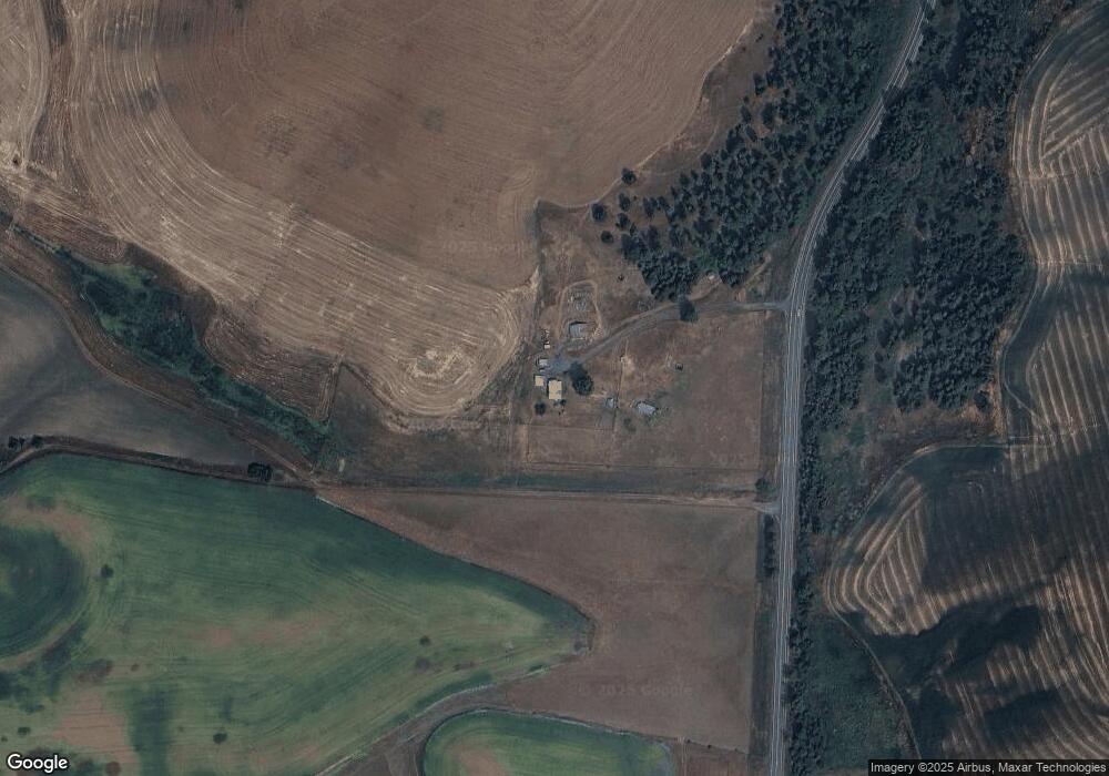
Map
Nearby Homes
- TBD Parcel 4 Drifting Snow Ln
- TBD Burnt Ridge Rd Parcel 1
- TBD Burnt Ridge Rd Parcel 2
- TBD Parkins Rd
- 4391 Highway 8
- 300 Big Meadow Rd
- 3700 Highway 8
- 1031 Spring Valley Rd
- 1755 Genesee Troy Rd
- 1021 Claypit Rd
- 000 Spring Valley Rd
- 000 Bethany Rd
- TBD Dixie Ln
- 1030 Wheatland Rd
- 701 Wheeler St
- 1701 State Highway 3
- 1026 Showalter Rd
- TBD Mix Rd
- TBD Eid Rd
- 812 Main St