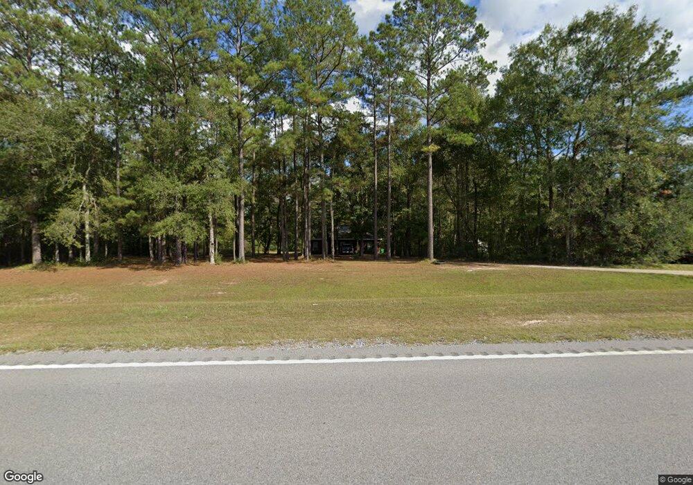
16516 Highway 63 Moss Point, MS 39562
Estimated Value: $130,397 - $191,000
Studio
--
Bath
1,395
Sq Ft
$121/Sq Ft
Est. Value
About This Home
This home is located at 16516 Highway 63, Moss Point, MS 39562 and is currently estimated at $168,849, approximately $121 per square foot. 16516 Highway 63 is a home with nearby schools including East Central Lower Elementary School, East Central Upper Elementary School, and East Central Middle School.
Ownership History
Date
Name
Owned For
Owner Type
Purchase Details
Closed on
Feb 5, 2016
Bought by
Carter Joshua D
Current Estimated Value
Home Financials for this Owner
Home Financials are based on the most recent Mortgage that was taken out on this home.
Original Mortgage
$42,000
Outstanding Balance
$32,865
Interest Rate
3.72%
Estimated Equity
$135,984
Create a Home Valuation Report for This Property
The Home Valuation Report is an in-depth analysis detailing your home's value as well as a comparison with similar homes in the area
Purchase History
| Date | Buyer | Sale Price | Title Company |
|---|---|---|---|
| Carter Joshua D | -- | -- |
Source: Public Records
Mortgage History
| Date | Status | Borrower | Loan Amount |
|---|---|---|---|
| Open | Carter Joshua D | $42,000 | |
| Closed | Carter Joshua D | -- |
Source: Public Records
Tax History
| Year | Tax Paid | Tax Assessment Tax Assessment Total Assessment is a certain percentage of the fair market value that is determined by local assessors to be the total taxable value of land and additions on the property. | Land | Improvement |
|---|---|---|---|---|
| 2025 | $1,693 | $14,245 | $546 | $13,699 |
| 2024 | $1,693 | $13,793 | $531 | $13,262 |
| 2023 | $1,656 | $13,793 | $531 | $13,262 |
| 2022 | $1,609 | $13,793 | $531 | $13,262 |
| 2021 | $1,622 | $13,913 | $531 | $13,382 |
| 2020 | $1,569 | $12,990 | $483 | $12,507 |
| 2019 | $1,552 | $12,990 | $483 | $12,507 |
| 2018 | $1,582 | $12,990 | $483 | $12,507 |
| 2017 | $1,609 | $12,990 | $483 | $12,507 |
| 2016 | $1,545 | $12,990 | $483 | $12,507 |
| 2015 | $1,434 | $79,940 | $3,220 | $76,720 |
| 2014 | $1,466 | $12,479 | $483 | $11,996 |
| 2013 | $1,417 | $12,479 | $483 | $11,996 |
Source: Public Records
Map
Nearby Homes
- 17209 Red Top Ln
- 3016 Ed Parker Rd
- 19500 Angel Ln
- 19506 Highway 63
- 14004 Timber Ridge Dr
- 13875 Wolf Ridge Rd Unit LotWP001
- 0 Grafe Homestead Rd Unit 4137349
- 4432 Lily Patch Ln
- 0 Perry St
- 3601 Sandy Bayou Rd
- 7201 Bentwood Dr
- 20700 Cameron Ln
- 0 Ms-613 Hwy Unit 4116583
- 0 Ms-613 Hwy Unit 4107607
- 0 Ms-613 Hwy Unit 4107612
- 0 Ms-613 Hwy Unit 4116582
- 26.1 Acres Brinkman Rd E
- 0 Dr Unit 4052148
- 0 R B Dickerson Rd
- Lot 111 River Place
- 16500 Highway 63
- 3104 Wells Ln
- 16524 Highway 63
- 16420 Highway 63
- 16321 Yeoman Ct
- 16408 Highway 63
- 3101 Wells Ln
- 3100 Wells Ln
- 16417 Highway 63
- 3001 Freeman Rd
- 3200 Wells Ln
- 3117 Freeman Rd
- 16401 Highway 63
- 2812 Pascagoula River Rd
- 16325 Kelly Ct
- 16401 Kelly Ct
- 16327 Kelly Ct
- 16327 Kelly Ct
- 3020 Freeman Rd
- 16421 Highway 63 Unit DRO
Your Personal Tour Guide
Ask me questions while you tour the home.