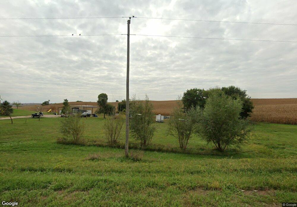
1652 180th St Sioux City, IA 51106
Estimated Value: $287,000 - $404,000
3
Beds
3
Baths
1,125
Sq Ft
$322/Sq Ft
Est. Value
About This Home
This home is located at 1652 180th St, Sioux City, IA 51106 and is currently estimated at $362,109, approximately $321 per square foot. 1652 180th St is a home located in Woodbury County with nearby schools including Sergeant Bluff-Luton Primary School, Sergeant Bluff-Luton Elementary School, and Sergeant Bluff-Luton Middle School.
Ownership History
Date
Name
Owned For
Owner Type
Purchase Details
Closed on
Apr 16, 2013
Sold by
Perryman Robert William and Perryman Julie R
Bought by
Salmen Kristine K
Current Estimated Value
Home Financials for this Owner
Home Financials are based on the most recent Mortgage that was taken out on this home.
Original Mortgage
$14,300
Outstanding Balance
$8,731
Interest Rate
3.56%
Mortgage Type
Credit Line Revolving
Estimated Equity
$353,378
Purchase Details
Closed on
Jun 14, 2007
Sold by
Androy Curtis
Bought by
Girard Timothy V and Girard Tera L
Create a Home Valuation Report for This Property
The Home Valuation Report is an in-depth analysis detailing your home's value as well as a comparison with similar homes in the area
Home Values in the Area
Average Home Value in this Area
Purchase History
| Date | Buyer | Sale Price | Title Company |
|---|---|---|---|
| Salmen Kristine K | $143,000 | None Available | |
| Girard Timothy V | $8,500 | -- |
Source: Public Records
Mortgage History
| Date | Status | Borrower | Loan Amount |
|---|---|---|---|
| Open | Salmen Kristine K | $14,300 |
Source: Public Records
Tax History Compared to Growth
Tax History
| Year | Tax Paid | Tax Assessment Tax Assessment Total Assessment is a certain percentage of the fair market value that is determined by local assessors to be the total taxable value of land and additions on the property. | Land | Improvement |
|---|---|---|---|---|
| 2025 | $2,864 | $295,190 | $69,600 | $225,590 |
| 2024 | $2,864 | $280,690 | $46,000 | $234,690 |
| 2023 | $2,504 | $280,690 | $46,000 | $234,690 |
| 2022 | $2,482 | $207,820 | $46,000 | $161,820 |
| 2021 | $2,482 | $207,820 | $46,000 | $161,820 |
| 2020 | $2,306 | $188,470 | $49,220 | $139,250 |
| 2019 | $2,082 | $185,800 | $49,220 | $136,580 |
| 2018 | $2,066 | $166,540 | $29,960 | $136,580 |
| 2017 | $2,338 | $166,540 | $29,960 | $136,580 |
| 2016 | $2,172 | $149,540 | $0 | $0 |
| 2015 | $2,062 | $139,760 | $28,000 | $111,760 |
| 2014 | $1,924 | $137,260 | $28,000 | $109,260 |
Source: Public Records
Map
Nearby Homes
- 6810 Brookside Dr
- 6700 Windsong Ct
- 3441 Glen Ellen Rd
- 6701 Windsong Ct
- 1713 Old Highway 141
- 17 Heritage Place
- TBD Old Highway 141
- 6413 Mickelson St
- 2564 Nicklaus Blvd
- 2640 Nicklaus Blvd
- 2600 Nicklaus Blvd
- 5225 Lynx Ct
- 5201 Lynx Ct
- 6290 Tiger Dr
- 1441 170th St
- 6104 Pine View Dr
- 5510 Christy Rd
- 6119 Morningside Ave
- 1903 Elk Creek Rd
- 5260 Overlook Ln
- 1658 180th St
- 1642 180th St
- 1628 180th St
- 1624 180th St
- 1832 Buchanan Ave
- 1844 Buchanan Ave
- 1616 180th St
- 1616 180th St
- 1846 Buchanan Ave
- 1827 Buchanan Ave
- 1581 180th St
- 1861 Buchanan Ave
- 1746 Buchanan Ave
- 1727 180th St
- 0 Old Hwy 141 Unit 602463
- 0 Old Hwy 141 Unit 602563
- 1717 180th St
- 1541 Old Highway 141
- 1721 180th St
- 1715 180th St