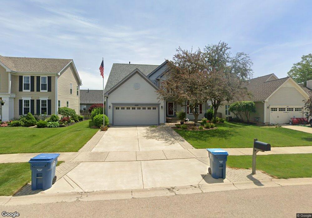
1652 Mcdowell Ave Aurora, IL 60504
South Farnsworth NeighborhoodEstimated Value: $427,354 - $463,000
4
Beds
4
Baths
2,301
Sq Ft
$190/Sq Ft
Est. Value
About This Home
This home is located at 1652 Mcdowell Ave, Aurora, IL 60504 and is currently estimated at $438,089, approximately $190 per square foot. 1652 Mcdowell Ave is a home located in Kane County with nearby schools including The Wheatlands Elementary School, Bednarcik Jr. High School, and Oswego East High School.
Ownership History
Date
Name
Owned For
Owner Type
Purchase Details
Closed on
Jun 30, 1994
Sold by
Wiseman Hughes Enterprises Inc
Bought by
Wowra Dennis P and Wowra Tara A
Current Estimated Value
Home Financials for this Owner
Home Financials are based on the most recent Mortgage that was taken out on this home.
Original Mortgage
$154,650
Interest Rate
8.61%
Create a Home Valuation Report for This Property
The Home Valuation Report is an in-depth analysis detailing your home's value as well as a comparison with similar homes in the area
Home Values in the Area
Average Home Value in this Area
Purchase History
| Date | Buyer | Sale Price | Title Company |
|---|---|---|---|
| Wowra Dennis P | $144,000 | Chicago Title Insurance Co |
Source: Public Records
Mortgage History
| Date | Status | Borrower | Loan Amount |
|---|---|---|---|
| Closed | Wowra Dennis P | $154,650 |
Source: Public Records
Tax History
| Year | Tax Paid | Tax Assessment Tax Assessment Total Assessment is a certain percentage of the fair market value that is determined by local assessors to be the total taxable value of land and additions on the property. | Land | Improvement |
|---|---|---|---|---|
| 2024 | $10,165 | $132,512 | $21,211 | $111,301 |
| 2023 | $9,671 | $118,399 | $18,952 | $99,447 |
| 2022 | $9,626 | $108,028 | $17,292 | $90,736 |
| 2021 | $9,153 | $100,575 | $16,099 | $84,476 |
| 2020 | $8,220 | $93,420 | $14,954 | $78,466 |
| 2019 | $8,961 | $92,452 | $13,855 | $78,597 |
| 2018 | $8,943 | $87,565 | $12,816 | $74,749 |
| 2017 | $9,447 | $89,926 | $11,809 | $78,117 |
| 2016 | $8,632 | $81,318 | $10,123 | $71,195 |
| 2015 | -- | $73,238 | $8,705 | $64,533 |
| 2014 | -- | $68,436 | $8,372 | $60,064 |
| 2013 | -- | $67,462 | $8,253 | $59,209 |
Source: Public Records
Map
Nearby Homes
- 2100 Hammel Ave
- 1740 Cumberland Rd Unit 8B
- 1875 Keating Dr
- 1874 Keating Dr
- 1871 Keating Dr
- 1868 Keating Dr
- 1866 Keating Dr
- 1862 Keating Dr
- 1859 Keating Dr
- 1858 Keating Dr
- 1855 Keating Dr
- 1850 Wisteria Dr Unit 343
- 1782 Montrose Dr
- 2509 Brook Ln
- 1830 Canyon Creek Dr
- 1900 Canyon Creek Dr
- 2297 Lakeside Dr Unit 10
- 1966 Congrove Dr
- 2500 Rosehall Ln
- 1715 Baler Ave
- 1654 Mcdowell Ave
- 1650 Mcdowell Ave
- 2161 Edinburgh Ln
- 2108 Pointe Blvd
- 2114 Pointe Blvd
- 1651 Mcdowell Ave
- 1653 Mcdowell Ave
- 1649 Mcdowell Ave
- 1656 Mcdowell Ave
- 2181 Edinburgh Ln
- 2152 Edinburgh Ln
- 2129 Pointe Blvd
- 2144 Edinburgh Ln
- 2160 Edinburgh Ln
- 2120 Pointe Blvd
- 2082 Pointe Blvd
- 2136 Edinburgh Ln
- 2131 Edinburgh Ln
- 1655 Mcdowell Ave
- 2168 Edinburgh Ln
Your Personal Tour Guide
Ask me questions while you tour the home.