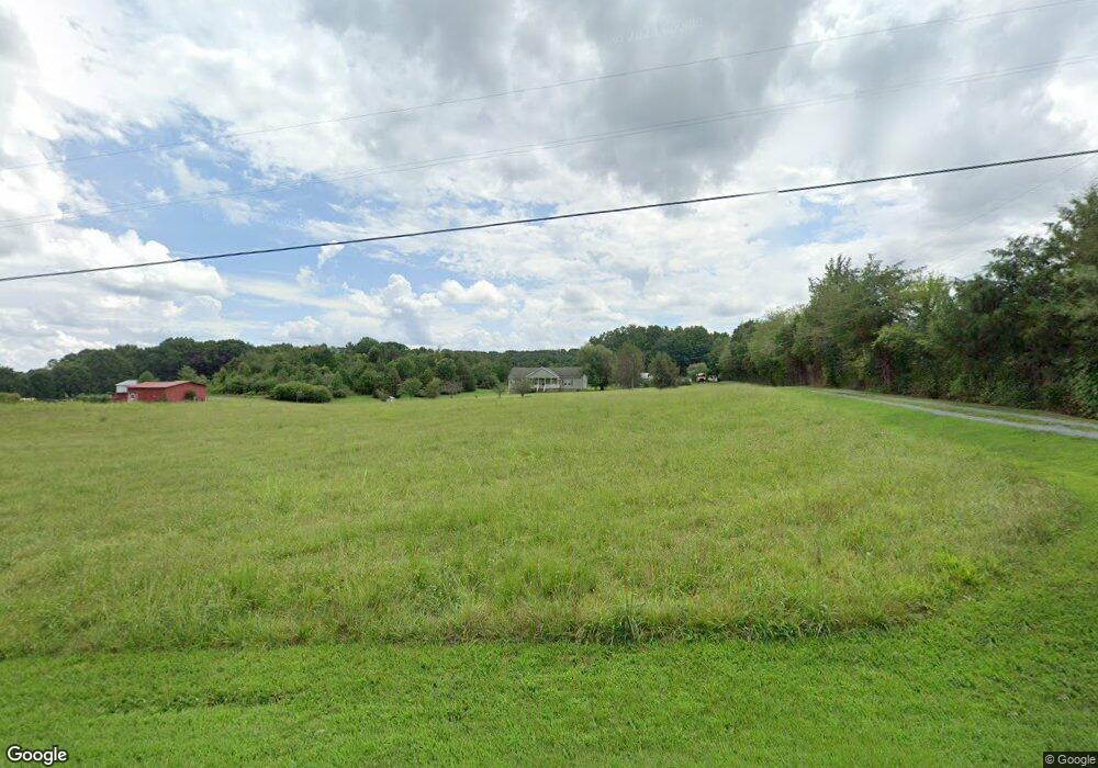
16538A Five Point Rd Locust, NC 28097
Estimated Value: $455,000 - $561,000
3
Beds
2
Baths
2,490
Sq Ft
$203/Sq Ft
Est. Value
About This Home
This home is located at 16538A Five Point Rd, Locust, NC 28097 and is currently estimated at $504,581, approximately $202 per square foot. 16538A Five Point Rd is a home located in Stanly County with nearby schools including Locust Elementary School, West Stanly Middle School, and West Stanly High School.
Ownership History
Date
Name
Owned For
Owner Type
Purchase Details
Closed on
Dec 12, 2012
Sold by
Furr John Michael
Bought by
Furr John Michael and Furr Lisa Diane
Current Estimated Value
Home Financials for this Owner
Home Financials are based on the most recent Mortgage that was taken out on this home.
Original Mortgage
$195,918
Interest Rate
3.44%
Mortgage Type
New Conventional
Purchase Details
Closed on
Mar 28, 2012
Sold by
Furr Walter
Bought by
Furr John Michael and Furr Lisa Diane
Create a Home Valuation Report for This Property
The Home Valuation Report is an in-depth analysis detailing your home's value as well as a comparison with similar homes in the area
Home Values in the Area
Average Home Value in this Area
Purchase History
| Date | Buyer | Sale Price | Title Company |
|---|---|---|---|
| Furr John Michael | -- | None Available | |
| Furr John Michael | -- | None Available |
Source: Public Records
Mortgage History
| Date | Status | Borrower | Loan Amount |
|---|---|---|---|
| Closed | Furr John Michael | $195,918 |
Source: Public Records
Tax History
| Year | Tax Paid | Tax Assessment Tax Assessment Total Assessment is a certain percentage of the fair market value that is determined by local assessors to be the total taxable value of land and additions on the property. | Land | Improvement |
|---|---|---|---|---|
| 2025 | $2,209 | $334,733 | $79,000 | $255,733 |
| 2024 | $1,822 | $253,085 | $50,500 | $202,585 |
| 2023 | $1,822 | $253,085 | $50,500 | $202,585 |
| 2022 | $1,919 | $253,085 | $50,500 | $202,585 |
| 2021 | $1,917 | $253,085 | $50,500 | $202,585 |
| 2020 | $1,828 | $225,242 | $45,000 | $180,242 |
| 2019 | $1,842 | $225,242 | $45,000 | $180,242 |
| 2018 | $1,757 | $225,242 | $45,000 | $180,242 |
| 2017 | $1,757 | $225,242 | $45,000 | $180,242 |
| 2016 | $1,643 | $216,147 | $41,000 | $175,147 |
| 2015 | $1,730 | $216,147 | $41,000 | $175,147 |
| 2014 | $546 | $216,147 | $41,000 | $175,147 |
Source: Public Records
Map
Nearby Homes
- 16659 Five Point Rd
- 27040 Crepts Branch Rd
- 00 Millingport Rd Unit 1
- 17427 Purser Dr
- Parcel 2 Birdhouse Ln
- 24910 Birdhouse Ln Unit 1
- Parcel 1 Birdhouse Ln
- 00 Sugar Hill Rd
- -- Sugar Hill Rd
- 20956 Old Mill Rd
- 20809 Biles Rd
- Vacant Biles Rd Unit 4
- 20420 Ridgecrest Rd
- 34568 Glory Hills Dr Unit Glory Hills Estates
- 155 Soft Breeze Bend Unit 286b
- 137 Soft Breeze Bend Unit 283b
- 20313 Running Creek Church Rd
- 21080 Running Creek Dr
- 21072 Running Creek Dr
- 21064 Running Creek Dr
- 16538 Five Point Rd
- 16574 Five Point Rd
- 16502 Five Point Rd
- 16604 Five Point Rd
- 16590 Five Point Rd
- 16557 Five Point Rd
- 16533 Five Point Rd
- 16573 Five Point Rd
- 16468 Five Point Rd
- 16624 Five Point Rd
- 16505 Five Point Rd
- 16463 Five Point Rd
- 16591 Five Point Rd
- 16603 Five Point Rd
- 16628 Five Point Rd
- 16653 Five Point Rd
- 16639 Five Point Rd Unit 10
- 16629 Five Point Rd
- 16683 Five Point Rd
- 27058 Vintage Ln
Your Personal Tour Guide
Ask me questions while you tour the home.