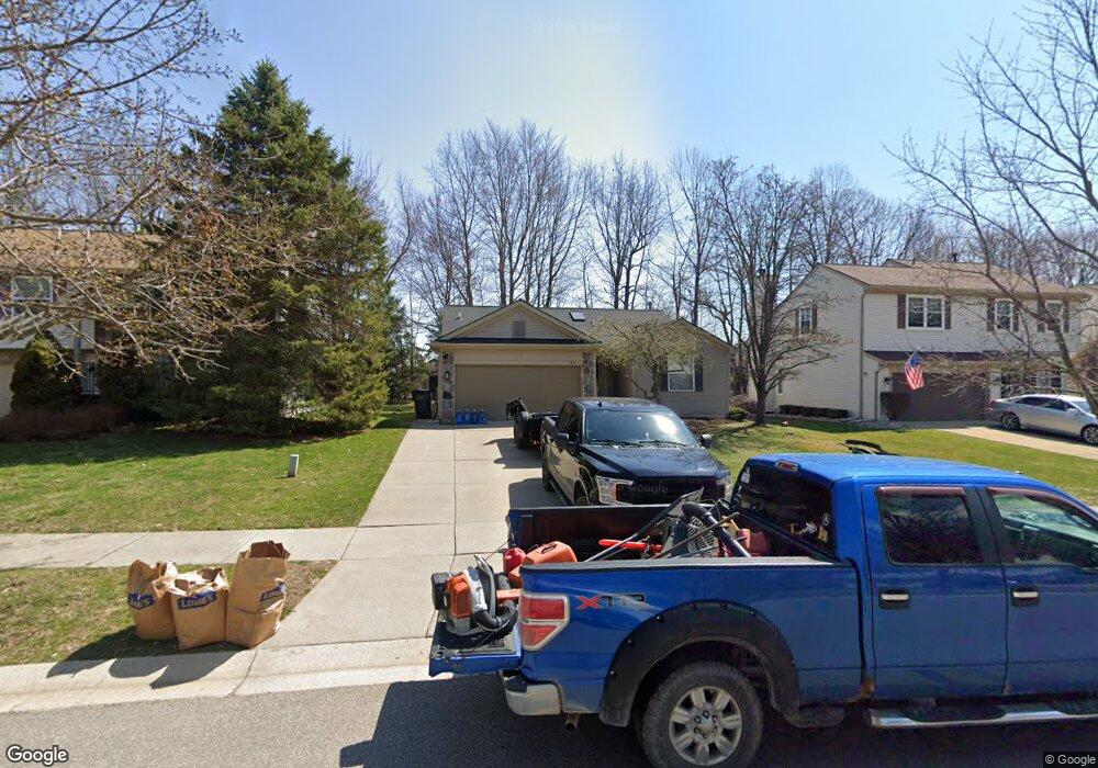
1654 Andover Blvd Unit 49 Howell, MI 48843
Estimated Value: $352,000 - $362,660
3
Beds
3
Baths
1,372
Sq Ft
$261/Sq Ft
Est. Value
About This Home
This home is located at 1654 Andover Blvd Unit 49, Howell, MI 48843 and is currently estimated at $358,165, approximately $261 per square foot. 1654 Andover Blvd Unit 49 is a home located in Livingston County with nearby schools including Hartland High School, Charyl Stockwell Academy, and Our Savior Evangelical Lutheran School.
Ownership History
Date
Name
Owned For
Owner Type
Purchase Details
Closed on
May 10, 2013
Sold by
Frantti Matthes C and Frantti Lisa M
Bought by
Langlois Jamie L
Current Estimated Value
Home Financials for this Owner
Home Financials are based on the most recent Mortgage that was taken out on this home.
Original Mortgage
$157,142
Outstanding Balance
$110,901
Interest Rate
3.39%
Estimated Equity
$247,264
Purchase Details
Closed on
Sep 15, 2004
Sold by
Jayne William J and Jayne Colleen K
Bought by
Frantti Matthew C and Frantti Lisa M
Home Financials for this Owner
Home Financials are based on the most recent Mortgage that was taken out on this home.
Original Mortgage
$205,000
Interest Rate
5%
Mortgage Type
Purchase Money Mortgage
Create a Home Valuation Report for This Property
The Home Valuation Report is an in-depth analysis detailing your home's value as well as a comparison with similar homes in the area
Home Values in the Area
Average Home Value in this Area
Purchase History
| Date | Buyer | Sale Price | Title Company |
|---|---|---|---|
| Langlois Jamie L | $154,000 | -- | |
| Frantti Matthew C | $205,000 | -- |
Source: Public Records
Mortgage History
| Date | Status | Borrower | Loan Amount |
|---|---|---|---|
| Open | Langlois Jamie L | $157,142 | |
| Previous Owner | Frantti Matthew C | $205,000 |
Source: Public Records
Tax History Compared to Growth
Tax History
| Year | Tax Paid | Tax Assessment Tax Assessment Total Assessment is a certain percentage of the fair market value that is determined by local assessors to be the total taxable value of land and additions on the property. | Land | Improvement |
|---|---|---|---|---|
| 2025 | $1,206 | $160,400 | $0 | $0 |
| 2024 | $1,172 | $149,100 | $0 | $0 |
| 2023 | $1,121 | $135,400 | $0 | $0 |
| 2022 | $3,854 | $103,400 | $0 | $0 |
| 2021 | $3,787 | $113,200 | $0 | $0 |
| 2020 | $3,779 | $110,000 | $0 | $0 |
| 2019 | $3,646 | $103,400 | $0 | $0 |
| 2018 | $3,790 | $94,000 | $0 | $0 |
| 2017 | $3,527 | $94,000 | $0 | $0 |
| 2016 | $2,882 | $96,300 | $0 | $0 |
| 2014 | $1,448 | $74,200 | $0 | $0 |
| 2012 | $1,448 | $61,000 | $0 | $0 |
Source: Public Records
Map
Nearby Homes
- 1623 Andover Blvd Unit 7
- 2221 Chase Dr Unit 103
- 2270 Chase Dr Unit 112
- 2245 Chase Dr Unit 107
- 2264 Chase Dr Unit 114
- 2240 Chase Dr Unit 119
- 2280 Chase Dr Unit 110
- 2260 Chase Dr Unit 115
- 2250 Chase Dr Unit 117
- 2249 Chase Dr Unit 108
- 2274 Chase Dr Unit 111
- V/L Parcel D Old Us-23 Hwy
- V/L Parcels C & D Old Us-23 Hwy
- V/L Parcel C Old Us-23 Hwy
- 9960 Ridge Run St
- 9947 Ridge Run St Unit 89/9
- 10028 Ridge Run St Unit 10
- 2233 Chase Dr Unit 105
- Beretta Loft Plan at Hunters Ridge - Condominiums
- Beretta Plan at Hunters Ridge - Condominiums
- 1662 Andover Blvd Unit 48
- 1646 Andover Blvd
- 1653 Dartmoor Dr Unit 62
- 1638 Andover Blvd Unit 51
- 1670 Andover Blvd Unit 47
- 1645 Dartmoor Dr Unit 61
- 1661 Dartmoor Dr
- 1637 Dartmoor Dr Unit 60
- 1669 Dartmoor Dr
- 1678 Andover Blvd Unit 46
- 1630 Andover Blvd Unit 52
- 1655 Andover Blvd Unit 11
- 1647 Andover Blvd Unit 10
- 1663 Andover Blvd Unit 12
- 1677 Dartmoor Dr Unit 65
- 1639 Andover Blvd
- 1671 Andover Blvd
- 1686 Andover Blvd Unit 45
- 1622 Andover Blvd
- 1631 Andover Blvd Unit 8