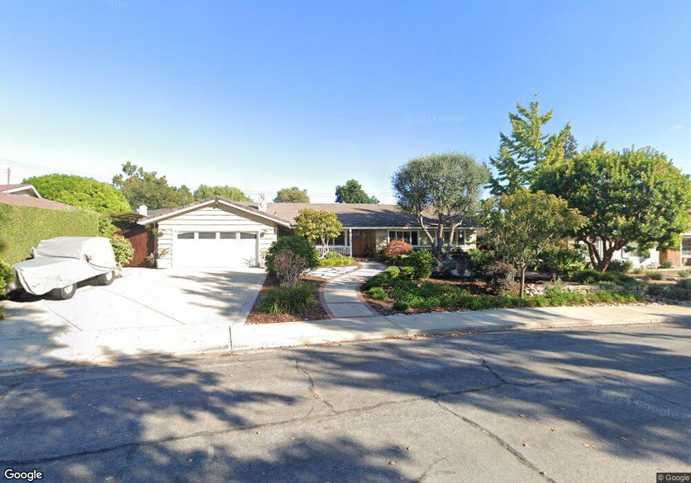
1654 Barnard Rd Claremont, CA 91711
Condit NeighborhoodEstimated Value: $1,018,665 - $1,119,000
4
Beds
3
Baths
2,220
Sq Ft
$485/Sq Ft
Est. Value
About This Home
This home is located at 1654 Barnard Rd, Claremont, CA 91711 and is currently estimated at $1,075,666, approximately $484 per square foot. 1654 Barnard Rd is a home located in Los Angeles County with nearby schools including Condit Elementary School, El Roble Intermediate School, and Claremont High School.
Ownership History
Date
Name
Owned For
Owner Type
Purchase Details
Closed on
Aug 11, 2023
Sold by
Brands James B and Brands Katherine A
Bought by
Brands Family Trust and Brands
Current Estimated Value
Purchase Details
Closed on
May 3, 1996
Sold by
Davis Daniel A and Davis Deborah M
Bought by
Brands James E and Brands Katherine A
Home Financials for this Owner
Home Financials are based on the most recent Mortgage that was taken out on this home.
Original Mortgage
$202,500
Interest Rate
7%
Create a Home Valuation Report for This Property
The Home Valuation Report is an in-depth analysis detailing your home's value as well as a comparison with similar homes in the area
Home Values in the Area
Average Home Value in this Area
Purchase History
| Date | Buyer | Sale Price | Title Company |
|---|---|---|---|
| Brands Family Trust | -- | None Listed On Document | |
| Brands James E | $225,000 | Orange Coast Title |
Source: Public Records
Mortgage History
| Date | Status | Borrower | Loan Amount |
|---|---|---|---|
| Previous Owner | Brands James E | $202,500 |
Source: Public Records
Tax History
| Year | Tax Paid | Tax Assessment Tax Assessment Total Assessment is a certain percentage of the fair market value that is determined by local assessors to be the total taxable value of land and additions on the property. | Land | Improvement |
|---|---|---|---|---|
| 2025 | $4,963 | $366,426 | $115,783 | $250,643 |
| 2024 | $4,963 | $359,242 | $113,513 | $245,729 |
| 2023 | $4,860 | $352,199 | $111,288 | $240,911 |
| 2022 | $4,777 | $345,294 | $109,106 | $236,188 |
| 2021 | $4,689 | $338,524 | $106,967 | $231,557 |
| 2019 | $4,485 | $328,486 | $103,796 | $224,690 |
| 2018 | $4,271 | $322,046 | $101,761 | $220,285 |
| 2016 | $3,975 | $309,542 | $97,810 | $211,732 |
| 2015 | $3,919 | $304,893 | $96,341 | $208,552 |
| 2014 | $3,895 | $298,921 | $94,454 | $204,467 |
Source: Public Records
Map
Nearby Homes
- 834 Hood Dr
- 1526 Lynoak Dr
- 3657 Towne Park Cir
- 872 Knox Place
- 641 Ridgefield Dr
- 1521 Mural Dr
- 1458 N Mountain Ave
- 1283 Hillsdale Dr
- 1736 Sumner Ave
- 631 Gayville Dr
- 1493 Lafayette Rd
- 1032 W Foothill Blvd Unit C
- 1038 W Foothill Blvd
- 1050 Foothill Blvd
- 171 Evergreen Ln
- 1044 W Foothill Blvd
- 1050 W Foothill Blvd
- 872 Huron Dr
- 633 Purdue Dr
- 728 Richbrook Dr
- 1642 Barnard Rd
- 1666 Barnard Rd
- 1651 Danbury Rd
- 1663 Danbury Rd
- 1639 Danbury Rd
- 1630 Barnard Rd
- 1641 Barnard Rd
- 1653 Barnard Rd
- 1016 Emory Dr
- 1028 Emory Dr
- 1627 Danbury Rd
- 1004 Emory Dr
- 1665 Barnard Rd
- 1618 Barnard Rd
- 1039 Harding Ct
- 1034 Harding Ct
- 1677 Barnard Rd
- 1615 Danbury Rd
- 1048 Harding Ct
- 1606 Barnard Rd
Your Personal Tour Guide
Ask me questions while you tour the home.