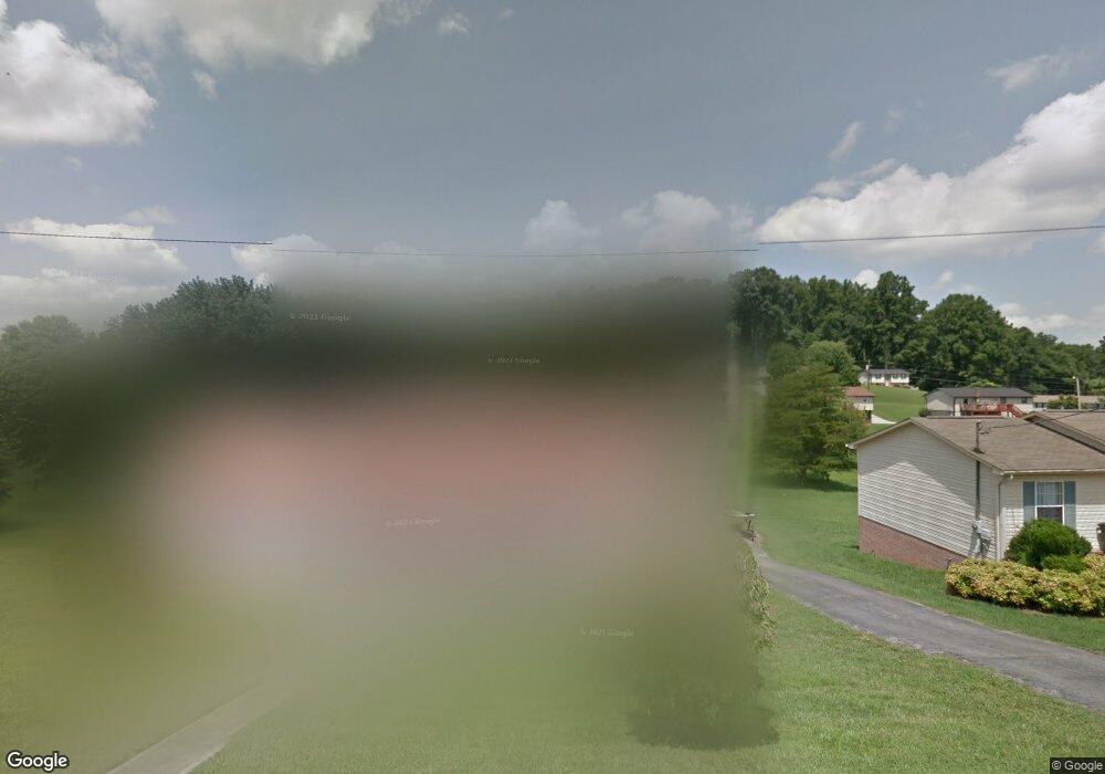
1656 Mcbride Rd Morristown, TN 37814
Estimated Value: $272,000 - $338,000
--
Bed
2
Baths
1,512
Sq Ft
$197/Sq Ft
Est. Value
About This Home
This home is located at 1656 Mcbride Rd, Morristown, TN 37814 and is currently estimated at $297,202, approximately $196 per square foot. 1656 Mcbride Rd is a home located in Hamblen County with nearby schools including West Elementary School, Lincoln Heights Middle School, and Morristown West High School.
Ownership History
Date
Name
Owned For
Owner Type
Purchase Details
Closed on
Oct 10, 2003
Sold by
Grisham Clarence O
Bought by
Lemka Kenneth R
Current Estimated Value
Purchase Details
Closed on
Jul 10, 1986
Bought by
Grisham Dedra Carol and Grisham Norma
Purchase Details
Closed on
Feb 18, 1983
Bought by
Greene Shannon W and Greene Janice G
Purchase Details
Closed on
May 16, 1980
Bought by
Lawson Daniel W and Lawson Helen M
Purchase Details
Closed on
Jul 12, 1979
Bought by
Greene Shannon W and Greene Janice
Create a Home Valuation Report for This Property
The Home Valuation Report is an in-depth analysis detailing your home's value as well as a comparison with similar homes in the area
Home Values in the Area
Average Home Value in this Area
Purchase History
| Date | Buyer | Sale Price | Title Company |
|---|---|---|---|
| Lemka Kenneth R | $10,000 | -- | |
| Grisham Dedra Carol | $48,000 | -- | |
| Greene Shannon W | $43,000 | -- | |
| Lawson Daniel W | $43,900 | -- | |
| Greene Shannon W | $1,700 | -- |
Source: Public Records
Tax History Compared to Growth
Tax History
| Year | Tax Paid | Tax Assessment Tax Assessment Total Assessment is a certain percentage of the fair market value that is determined by local assessors to be the total taxable value of land and additions on the property. | Land | Improvement |
|---|---|---|---|---|
| 2024 | $741 | $37,625 | $4,350 | $33,275 |
| 2023 | $741 | $37,625 | $0 | $0 |
| 2022 | $741 | $37,625 | $4,350 | $33,275 |
| 2021 | $741 | $37,625 | $4,350 | $33,275 |
| 2020 | $741 | $37,625 | $4,350 | $33,275 |
| 2019 | $745 | $34,975 | $4,225 | $30,750 |
| 2018 | $745 | $34,975 | $4,225 | $30,750 |
| 2017 | $745 | $34,975 | $4,225 | $30,750 |
| 2016 | $696 | $34,975 | $4,225 | $30,750 |
| 2015 | $647 | $34,975 | $4,225 | $30,750 |
| 2014 | -- | $34,975 | $4,225 | $30,750 |
| 2013 | -- | $37,300 | $0 | $0 |
Source: Public Records
Map
Nearby Homes
- 0 Mcbride Rd
- 1086 St Ives Ct
- 2241 Le Conte St
- 1054 Colonial Dr
- 1701 Old Oak Ln
- 2978 Wilshire Blvd
- 801 Colonial Dr
- Lot 289 Inlet Cove
- Lot 267 Waterview Way
- 3641 Meadowland Dr
- Lot 295 Inlet Cove
- 700 Drinnon Dr
- 2350 Joe Stephens Rd
- 1987 Joe Stephens Rd
- 1855 Joe Stephens Rd
- 3471 Walden Dr
- 3475 Walden Dr
- 1171 Pine Haven Dr
- 3415 Emerald Ave
- 1361 Appalachian Trace
- 1638 Mcbride Rd
- 1676 Mcbride Rd
- 2466 Holder Dr
- 2444 Holder Dr
- 1626 Mcbride Rd
- 1714 Mcbride Rd
- 2428 Holder Dr
- 2500 Holder Dr
- 2390 Holder Dr
- 1748 Mcbride Rd
- 2354 Holder Dr
- 2449 Holder Dr
- 2433 Holder Dr
- 2417 Holder Dr
- 1701 Jellicorse Rd
- 1768 Mcbride Rd
- 2389 Holder Dr
- 2355 Holder Dr
- 1795 Mcbride Rd
- 1798 Mcbride Rd