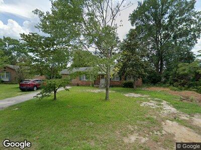
1656 Sandra Dr Columbia, SC 29209
Southeast Columbia NeighborhoodEstimated Value: $120,000 - $172,000
3
Beds
2
Baths
1,144
Sq Ft
$126/Sq Ft
Est. Value
About This Home
This home is located at 1656 Sandra Dr, Columbia, SC 29209 and is currently estimated at $144,618, approximately $126 per square foot. 1656 Sandra Dr is a home located in Richland County with nearby schools including Annie Burnside Elementary School, Crayton Middle School, and A. C. Flora High School.
Ownership History
Date
Name
Owned For
Owner Type
Purchase Details
Closed on
Mar 30, 2009
Sold by
Hartsoe Nellie K
Bought by
Hope Marceus and Wilson Bridgette
Current Estimated Value
Purchase Details
Closed on
Jun 13, 2005
Sold by
Hartsoe Nellie K and Estate Of Jerry Elmo Hartsoe
Bought by
Hartsoe Nellie K
Purchase Details
Closed on
Oct 16, 1998
Sold by
Hartsoe Jerry E and Estate Of Laura M Boatwright
Bought by
Hartsoe Jerry E
Create a Home Valuation Report for This Property
The Home Valuation Report is an in-depth analysis detailing your home's value as well as a comparison with similar homes in the area
Home Values in the Area
Average Home Value in this Area
Purchase History
| Date | Buyer | Sale Price | Title Company |
|---|---|---|---|
| Hope Marceus | $67,200 | -- | |
| Hartsoe Nellie K | -- | -- | |
| Hartsoe Jerry E | -- | -- |
Source: Public Records
Mortgage History
| Date | Status | Borrower | Loan Amount |
|---|---|---|---|
| Previous Owner | Hartsoe Jerry E | $60,000 |
Source: Public Records
Tax History Compared to Growth
Tax History
| Year | Tax Paid | Tax Assessment Tax Assessment Total Assessment is a certain percentage of the fair market value that is determined by local assessors to be the total taxable value of land and additions on the property. | Land | Improvement |
|---|---|---|---|---|
| 2023 | $386 | $2,988 | $0 | $0 |
| 2022 | $842 | $74,700 | $17,100 | $57,600 |
| 2021 | $830 | $2,990 | $0 | $0 |
| 2020 | $841 | $2,990 | $0 | $0 |
| 2019 | $811 | $2,990 | $0 | $0 |
| 2018 | $760 | $2,840 | $0 | $0 |
| 2017 | $745 | $2,840 | $0 | $0 |
| 2016 | $743 | $2,840 | $0 | $0 |
| 2015 | $726 | $2,840 | $0 | $0 |
| 2014 | $707 | $71,000 | $0 | $0 |
| 2013 | -- | $2,840 | $0 | $0 |
Source: Public Records
Map
Nearby Homes
- 7261 Hilo St
- 7445 Patricia Dr
- 1603 Sheffey Ct
- 1830 Mabron Rd
- 1632 Burnside Ave
- 25 Eason Ct
- 1527 Burnside Ave
- 35 Paperbark Ct
- 156 Colonial Commons Ln
- 7024 Hilo St
- 40 Monmouth Ct
- 7036 Julia St
- 7114 Patterson Rd
- 7020 Julia St
- 7916 Trailwood Ln
- 175 Nestle Ct
- 152 Ashewood Commons Dr
- 7165 Caledonia Ln
- 7825 Saint Margaret St
- 7022 Leitner Rd