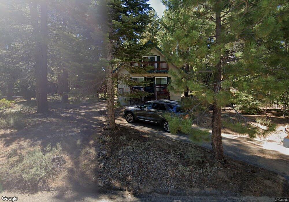
1656 Tionontati St South Lake Tahoe, CA 96150
Estimated Value: $548,842 - $587,000
3
Beds
2
Baths
1,260
Sq Ft
$453/Sq Ft
Est. Value
About This Home
This home is located at 1656 Tionontati St, South Lake Tahoe, CA 96150 and is currently estimated at $570,211, approximately $452 per square foot. 1656 Tionontati St is a home located in El Dorado County with nearby schools including Sierra House Elementary School, South Tahoe Middle School, and South Tahoe High School.
Ownership History
Date
Name
Owned For
Owner Type
Purchase Details
Closed on
Jun 11, 2002
Sold by
Silva Margaret M
Bought by
Mocklin Joseph D and Mocklin Suzanne
Current Estimated Value
Purchase Details
Closed on
Dec 17, 2001
Sold by
Swanson Russell C
Bought by
Silva Margaret M
Home Financials for this Owner
Home Financials are based on the most recent Mortgage that was taken out on this home.
Original Mortgage
$166,250
Interest Rate
6.51%
Create a Home Valuation Report for This Property
The Home Valuation Report is an in-depth analysis detailing your home's value as well as a comparison with similar homes in the area
Home Values in the Area
Average Home Value in this Area
Purchase History
| Date | Buyer | Sale Price | Title Company |
|---|---|---|---|
| Mocklin Joseph D | $228,000 | Fidelity National Title Co | |
| Silva Margaret M | $175,000 | Fidelity National Title Co |
Source: Public Records
Mortgage History
| Date | Status | Borrower | Loan Amount |
|---|---|---|---|
| Previous Owner | Silva Margaret M | $166,250 |
Source: Public Records
Tax History Compared to Growth
Tax History
| Year | Tax Paid | Tax Assessment Tax Assessment Total Assessment is a certain percentage of the fair market value that is determined by local assessors to be the total taxable value of land and additions on the property. | Land | Improvement |
|---|---|---|---|---|
| 2025 | $3,612 | $336,353 | $118,171 | $218,182 |
| 2024 | $3,612 | $329,758 | $115,854 | $213,904 |
| 2023 | $3,550 | $323,293 | $113,583 | $209,710 |
| 2022 | $3,515 | $316,955 | $111,356 | $205,599 |
| 2021 | $3,458 | $310,741 | $109,173 | $201,568 |
| 2020 | $3,412 | $307,556 | $108,054 | $199,502 |
| 2019 | $3,396 | $301,527 | $105,936 | $195,591 |
| 2018 | $3,321 | $295,615 | $103,859 | $191,756 |
| 2017 | $3,269 | $289,820 | $101,823 | $187,997 |
| 2016 | $3,204 | $284,138 | $99,827 | $184,311 |
| 2015 | $3,170 | $279,873 | $98,329 | $181,544 |
| 2014 | $2,847 | $256,000 | $78,500 | $177,500 |
Source: Public Records
Map
Nearby Homes
- 1678 Tionontati St
- 1579 Crystal Air Dr
- 1575 Crystal Air Dr
- 1713 Tionontati St
- 1617 Cree St
- 1644 Crystal Air Dr
- 1671 Crystal Air Dr
- 1578 Skyline Dr
- 1589 Cree St
- 1656 Oglala St
- 1513 Cree St
- 1580 Boca Raton Dr
- 1428 Skyline Dr
- 1567 Ojibwa St
- 1670 Canienaga St
- 1442 Vanderhoof Rd
- 1431 Vanderhoof Rd
- 1594 Canienaga St
- 1540 Ojibwa St
- 1952 Osage Cir
- 1650 Tionontati St
- 1657 Tionontati St
- 1663 Tionontati St
- 1602 Oflyng Dr
- 1651 Tionontati St
- 1672 Tionontati St
- 1647 Tionontati St
- 1622 Oflying Dr
- 1596 Oflyng Dr
- 1630 Oflyng Dr
- 1673 Tionontati St
- 1682 Tionontati St
- 1677 Tionontati St
- 1656 Oflying Dr
- 1681 Player Dr
- 1583 Oflyng Dr
- 1681 Tionontati St
- 1627 Oneidas St
- 1580 Oflyng Dr
- 1680 Player Dr