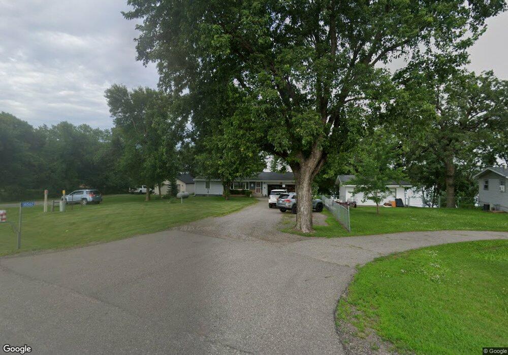
16562 State Highway 15 Kimball, MN 55353
Estimated Value: $344,000 - $397,254
3
Beds
2
Baths
1,017
Sq Ft
$365/Sq Ft
Est. Value
About This Home
This home is located at 16562 State Highway 15, Kimball, MN 55353 and is currently estimated at $370,814, approximately $364 per square foot. 16562 State Highway 15 is a home located in Stearns County with nearby schools including Kimball Elementary School and Kimball High School.
Ownership History
Date
Name
Owned For
Owner Type
Purchase Details
Closed on
Jul 22, 2004
Sold by
Puccio Steven
Bought by
Burfeind Keith
Current Estimated Value
Purchase Details
Closed on
Aug 13, 1999
Sold by
Westra-Nelson Ann
Bought by
Puccio Steven
Purchase Details
Closed on
Jul 27, 1990
Sold by
Estvold Evandah
Bought by
Westre-Nelson Ann
Create a Home Valuation Report for This Property
The Home Valuation Report is an in-depth analysis detailing your home's value as well as a comparison with similar homes in the area
Home Values in the Area
Average Home Value in this Area
Purchase History
| Date | Buyer | Sale Price | Title Company |
|---|---|---|---|
| Burfeind Keith | $224,900 | -- | |
| Puccio Steven | $105,000 | -- | |
| Westre-Nelson Ann | $64,000 | -- |
Source: Public Records
Tax History Compared to Growth
Tax History
| Year | Tax Paid | Tax Assessment Tax Assessment Total Assessment is a certain percentage of the fair market value that is determined by local assessors to be the total taxable value of land and additions on the property. | Land | Improvement |
|---|---|---|---|---|
| 2025 | $2,930 | $374,500 | $154,000 | $220,500 |
| 2024 | $2,930 | $333,500 | $146,700 | $186,800 |
| 2023 | $2,808 | $305,200 | $128,300 | $176,900 |
| 2022 | $2,296 | $226,800 | $85,100 | $141,700 |
| 2021 | $2,226 | $226,800 | $85,100 | $141,700 |
| 2020 | $2,172 | $211,100 | $83,500 | $127,600 |
| 2019 | $2,038 | $204,800 | $83,500 | $121,300 |
| 2018 | $2,112 | $187,500 | $82,500 | $105,000 |
| 2017 | $2,070 | $190,400 | $80,500 | $109,900 |
| 2016 | $2,112 | $0 | $0 | $0 |
| 2015 | $2,046 | $0 | $0 | $0 |
| 2014 | -- | $0 | $0 | $0 |
Source: Public Records
Map
Nearby Homes
- 16307 78th Ave
- 18503 Dairywood Rd
- 603 Elm St N
- 351 Publishers Dr NE
- 226 Quill St NE
- 10630 Marty View Cir
- 121 Spruce Ave E
- xxx Marty View Cir
- 11 Spruce Ave E
- 10682 Marty View Cir
- 21 Spruce Ave W
- 10512 Marty View Cir
- 30 Elm St N
- 451 Linden Ave E
- 847 Walnut Ave SE
- 125 Cedar St SE
- 148 Cedar St SE
- 118 Cedar St SE
- 16698 109th St NW
- 20658 State Highway 15
- 16592 State Highway 15
- 16602 State Highway 15
- 16602 State Highway 15
- 16602 State Highway 15
- 16602 State Highway 15
- 16542 State Highway 15
- 16612 State Highway 15
- 16512 State Highway 15
- 16622 State Highway 15
- 16492 State Highway 15
- 16472 State Highway 15
- 16452 State Highway 15
- 8315 County Road 147
- 8315 County Road 147
- 8315 County Road 147
- 8315 County Road 147
- 16412 State Highway 15
- 16413 State Highway 15
- 16398 83rd Ave
- 16386 83rd Ave