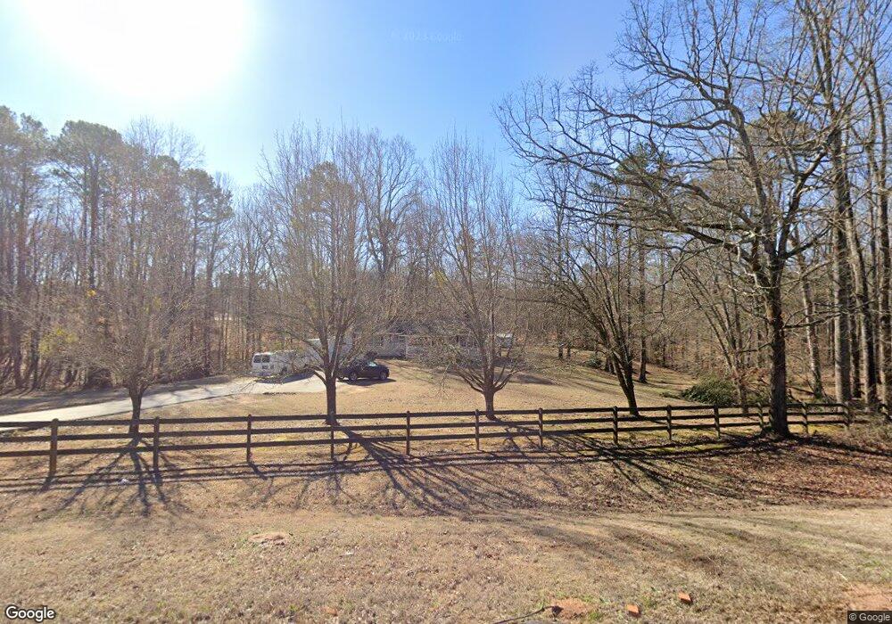
16563 Highway 36 Covington, GA 30014
Estimated Value: $258,000 - $349,000
Studio
1
Bath
1,871
Sq Ft
$158/Sq Ft
Est. Value
About This Home
This home is located at 16563 Highway 36, Covington, GA 30014 and is currently estimated at $295,513, approximately $157 per square foot. 16563 Highway 36 is a home located in Newton County with nearby schools including Rocky Plains Elementary School, Indian Creek Middle School, and Alcovy High School.
Ownership History
Date
Name
Owned For
Owner Type
Purchase Details
Closed on
Jan 30, 2004
Sold by
Barron John W
Bought by
Barron John W
Current Estimated Value
Home Financials for this Owner
Home Financials are based on the most recent Mortgage that was taken out on this home.
Original Mortgage
$126,000
Interest Rate
5.77%
Mortgage Type
New Conventional
Purchase Details
Closed on
Mar 31, 1997
Sold by
Casey James Larry
Bought by
Barron John W Melanie K
Create a Home Valuation Report for This Property
The Home Valuation Report is an in-depth analysis detailing your home's value as well as a comparison with similar homes in the area
Home Values in the Area
Average Home Value in this Area
Purchase History
| Date | Buyer | Sale Price | Title Company |
|---|---|---|---|
| Barron John W | -- | -- | |
| Barron John W Melanie K | $103,000 | -- |
Source: Public Records
Mortgage History
| Date | Status | Borrower | Loan Amount |
|---|---|---|---|
| Closed | Barron John W | $126,000 | |
| Closed | Barron John W Melanie K | $0 |
Source: Public Records
Tax History
| Year | Tax Paid | Tax Assessment Tax Assessment Total Assessment is a certain percentage of the fair market value that is determined by local assessors to be the total taxable value of land and additions on the property. | Land | Improvement |
|---|---|---|---|---|
| 2025 | $2,854 | $121,680 | $19,960 | $101,720 |
| 2024 | $2,685 | $109,840 | $17,280 | $92,560 |
| 2023 | $2,621 | $100,480 | $12,120 | $88,360 |
| 2022 | $1,941 | $75,400 | $9,720 | $65,680 |
| 2021 | $1,900 | $66,520 | $9,720 | $56,800 |
| 2020 | $1,978 | $62,760 | $9,000 | $53,760 |
| 2019 | $1,521 | $48,480 | $7,000 | $41,480 |
| 2018 | $1,470 | $46,720 | $7,000 | $39,720 |
| 2017 | $1,223 | $39,520 | $5,000 | $34,520 |
| 2016 | $992 | $32,800 | $4,000 | $28,800 |
| 2015 | $957 | $31,760 | $4,000 | $27,760 |
| 2014 | $857 | $28,880 | $0 | $0 |
Source: Public Records
Map
Nearby Homes
- 45 Glen Ridge Ct
- 45 Stewart Glen Dr
- 97 Malcom Rd
- 80 Hunters Trace
- 170 Hunters Trace
- 75 Heatherstone Way
- 0 Parker Rd Unit 10548997
- 0 Malcom Rd Unit 10594529
- 15975 Georgia 36
- 230 Friar Tuck Cir
- 632 Campbell Rd
- 658 Campbell Rd
- 646 Campbell Rd
- 15 Savoy Park Dr
- 300 Potts Ln
- 0 Fincher Ln Unit 25584876
- 0 Fincher Ln Unit 10645055
- 40 Pine Shadow Cir
- 40 Eryn Terrace
- 215 Eryn Terrace
- 20 Stewart Glen Dr
- 20 Stewart Glen Dr Unit 2
- 10 Stewart Glen Dr
- 10 Stewart Glen Dr Unit 1
- 40 Glen Ridge Ct
- 108 Bohannon Rd
- 30 Glen Ridge Ct
- 30 Stewart Glen Dr Unit 3
- 30 Stewart Glen Dr
- 20 Glen Ridge Ct
- 15 Stewart Glen Dr
- 40 Stewart Glen Dr Unit 4
- 40 Stewart Glen Dr
- 10 Glen Ridge Ct Unit 5/ 104
- 10 Glen Ridge Ct
- 35 Glen Ridge Ct
- 45 Glen Ridge Ct Unit 9
- 45 Stewart Glen Dr Unit 30
- 15 Glen Ridge Ct
- 300 Bohannon Rd
Your Personal Tour Guide
Ask me questions while you tour the home.