1657 Chief Ln New Albin, IA 52160
Estimated Value: $376,000 - $469,000
4
Beds
3
Baths
1,780
Sq Ft
$236/Sq Ft
Est. Value
About This Home
This home is located at 1657 Chief Ln, New Albin, IA 52160 and is currently estimated at $420,331, approximately $236 per square foot. 1657 Chief Ln is a home located in Allamakee County with nearby schools including New Albin Elementary School, Lansing Middle School, and Kee High School.
Ownership History
Date
Name
Owned For
Owner Type
Purchase Details
Closed on
Jun 4, 2012
Sold by
Majestic Properties Llc
Bought by
Peterson Mark A and Peterson Amy M
Current Estimated Value
Home Financials for this Owner
Home Financials are based on the most recent Mortgage that was taken out on this home.
Original Mortgage
$197,600
Interest Rate
3.87%
Mortgage Type
New Conventional
Create a Home Valuation Report for This Property
The Home Valuation Report is an in-depth analysis detailing your home's value as well as a comparison with similar homes in the area
Home Values in the Area
Average Home Value in this Area
Purchase History
| Date | Buyer | Sale Price | Title Company |
|---|---|---|---|
| Peterson Mark A | $208,000 | None Available |
Source: Public Records
Mortgage History
| Date | Status | Borrower | Loan Amount |
|---|---|---|---|
| Open | Peterson Mark A | $197,600 |
Source: Public Records
Tax History Compared to Growth
Tax History
| Year | Tax Paid | Tax Assessment Tax Assessment Total Assessment is a certain percentage of the fair market value that is determined by local assessors to be the total taxable value of land and additions on the property. | Land | Improvement |
|---|---|---|---|---|
| 2025 | $4,220 | $462,200 | $47,700 | $414,500 |
| 2024 | $4,220 | $378,600 | $47,700 | $330,900 |
| 2023 | $4,250 | $378,600 | $47,700 | $330,900 |
| 2022 | $3,782 | $301,800 | $47,700 | $254,100 |
| 2021 | $4,070 | $301,800 | $47,700 | $254,100 |
| 2020 | $4,070 | $307,500 | $47,700 | $259,800 |
| 2019 | $3,284 | $246,800 | $0 | $0 |
| 2018 | $3,222 | $246,800 | $0 | $0 |
| 2017 | $3,222 | $223,900 | $0 | $0 |
| 2016 | $2,798 | $223,900 | $0 | $0 |
| 2015 | $2,798 | $223,900 | $0 | $0 |
| 2014 | $2,718 | $223,900 | $0 | $0 |
Source: Public Records
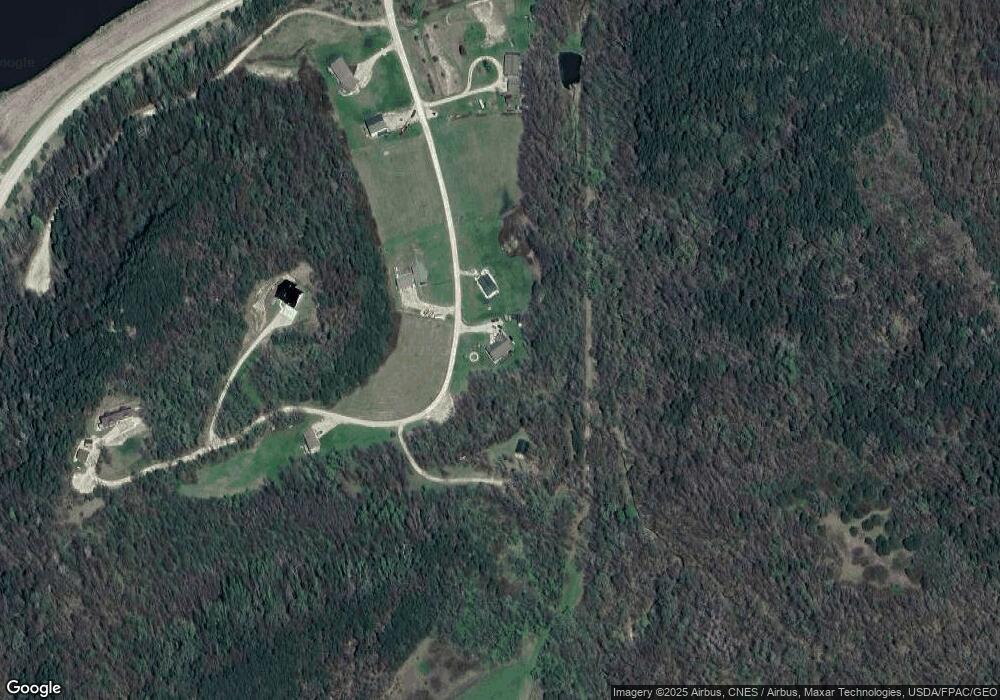
Map
Nearby Homes
- 174 Main St NE
- Tbd
- 23444 State 26
- 23444 State 26 -
- S6820 Terhune St
- 0 Wisconsin 35
- S7464 Aspen Ridge Rd
- 9642 Wisconsin 35
- 15 Scenic Point Dr
- lot 7 American Heritage Rd
- 13.55ac Great River Rd
- E590 Mundsack Rd Unit A
- E21277 County Road Uu
- 234 Desoto St
- 314 Main St
- 625 Ridge St
- 2307 Mays Prairie Rd
- 0 Desoto Bluffs Dr Unit 1936123
- 65416 Desoto Bluffs Dr
- 65423 Desoto Bluffs Dr
- 1662 Chief Ln Unit LOT 9
- 1649 Chief Ln Unit LOT 14
- 1648 Chief Ln Unit LOT 7
- 1654 Chief Ln Unit LOT 8
- LOT 4 Singing Bird Ln
- 1642 Chief Ln
- 1645 Chief Ln
- 2817 Black Hawk Rd
- 2817 Black Hawk Rd
- 2817 Black Hawk Rd
- 2817 Black Hawk Rd
- 2817 Black Hawk Rd
- 2817 Black Hawk Rd
- 2817 Black Hawk Rd
- 2817 Black Hawk Rd
- 2817 Black Hawk Rd
- 2817 Black Hawk Rd
- 2817 Black Hawk Rd
- 2817 Black Hawk Rd
- 2817 Black Hawk Rd