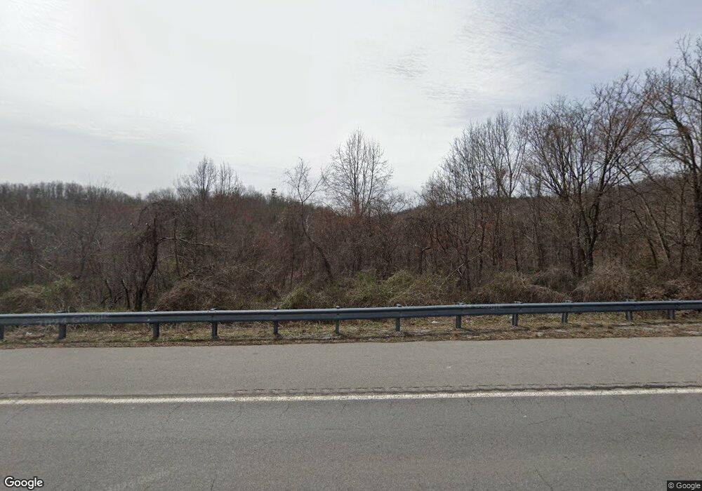
1657 Highway 30 W Decatur, TN 37322
Estimated Value: $41,000 - $163,000
--
Bed
1
Bath
1,144
Sq Ft
$74/Sq Ft
Est. Value
About This Home
This home is located at 1657 Highway 30 W, Decatur, TN 37322 and is currently estimated at $84,667, approximately $74 per square foot. 1657 Highway 30 W is a home located in McMinn County.
Ownership History
Date
Name
Owned For
Owner Type
Purchase Details
Closed on
Jul 11, 2025
Sold by
Cowan David W
Bought by
Elkins Michael E and Elkins Amy C
Current Estimated Value
Purchase Details
Closed on
Dec 20, 2021
Sold by
Womac Christopher Lee
Bought by
Cowan David W
Purchase Details
Closed on
Nov 12, 2019
Sold by
Womac Angela
Bought by
Womac Christopher Lee
Purchase Details
Closed on
Dec 16, 2008
Sold by
Benton Roy
Bought by
Womac Christopher L
Purchase Details
Closed on
May 27, 1994
Sold by
Roy Benton
Bought by
Kenneth Price
Purchase Details
Closed on
Oct 6, 1993
Sold by
Roy Benton
Bought by
Clifford Hampton
Purchase Details
Closed on
Aug 12, 1993
Bought by
Benton Roy and Benton Frances
Purchase Details
Closed on
Aug 31, 1978
Bought by
Benton Roy and Benton Frances
Create a Home Valuation Report for This Property
The Home Valuation Report is an in-depth analysis detailing your home's value as well as a comparison with similar homes in the area
Home Values in the Area
Average Home Value in this Area
Purchase History
| Date | Buyer | Sale Price | Title Company |
|---|---|---|---|
| Elkins Michael E | $40,000 | Title Insurance | |
| Cowan David W | $33,200 | Title Insurance Company | |
| Womac Christopher Lee | -- | -- | |
| Womac Christopher L | $120,000 | -- | |
| Kenneth Price | -- | -- | |
| Clifford Hampton | $14,000 | -- | |
| Benton Roy | -- | -- | |
| Benton Roy | -- | -- |
Source: Public Records
Tax History Compared to Growth
Tax History
| Year | Tax Paid | Tax Assessment Tax Assessment Total Assessment is a certain percentage of the fair market value that is determined by local assessors to be the total taxable value of land and additions on the property. | Land | Improvement |
|---|---|---|---|---|
| 2025 | $97 | $8,925 | $0 | $0 |
| 2024 | $97 | $8,925 | $8,800 | $125 |
| 2023 | $97 | $8,925 | $8,800 | $125 |
| 2022 | $138 | $8,925 | $8,800 | $125 |
| 2021 | $138 | $8,925 | $8,800 | $125 |
| 2020 | $138 | $8,925 | $8,800 | $125 |
| 2019 | $463 | $8,925 | $8,800 | $125 |
| 2018 | $463 | $29,900 | $8,800 | $21,100 |
| 2017 | $348 | $21,525 | $5,325 | $16,200 |
| 2016 | $348 | $21,525 | $5,325 | $16,200 |
| 2015 | -- | $21,525 | $5,325 | $16,200 |
| 2014 | $348 | $21,532 | $0 | $0 |
Source: Public Records
Map
Nearby Homes
- 63 County Road 100
- 333 County Road 184
- 185 County Road 179
- 12274 N Nopone Valley Rd
- 838 County Road 105
- 190 Sims Rd
- 233 County Road 83
- 188 Proffitt Hill Ln
- 1031 County Road 110
- 169 County Road 188
- 166 Seals Place
- 321 Pawnee Ln
- 0 Polymer Dr Unit 24447838
- 105 Decatur Cir
- 240 W Park Cir
- 947 County Road 82
- 978 County Road 82
- 1043 Main St
- 360 Church Ln
- 109 County Road 117
- 1677 Highway 30 W
- 1650 Highway 30 W
- 1617 Highway 30 W
- 000 Highway 30 W
- 1680 Tennessee 30
- 1704 Highway 30 W
- 1704 Highway 30 W
- 181 County Rd 181
- 106 County Road 181
- 1731 Highway 30 W
- 1593 Highway 30 W
- 105 County Road 181
- 201 County Road 181
- 134+/- Acres County Road 181
- 111 County Road 100
- 127 County Road 181
- 113 County Road 100
- 133 County Road 181
- 62 County Road 100
- 154 County Road 181
