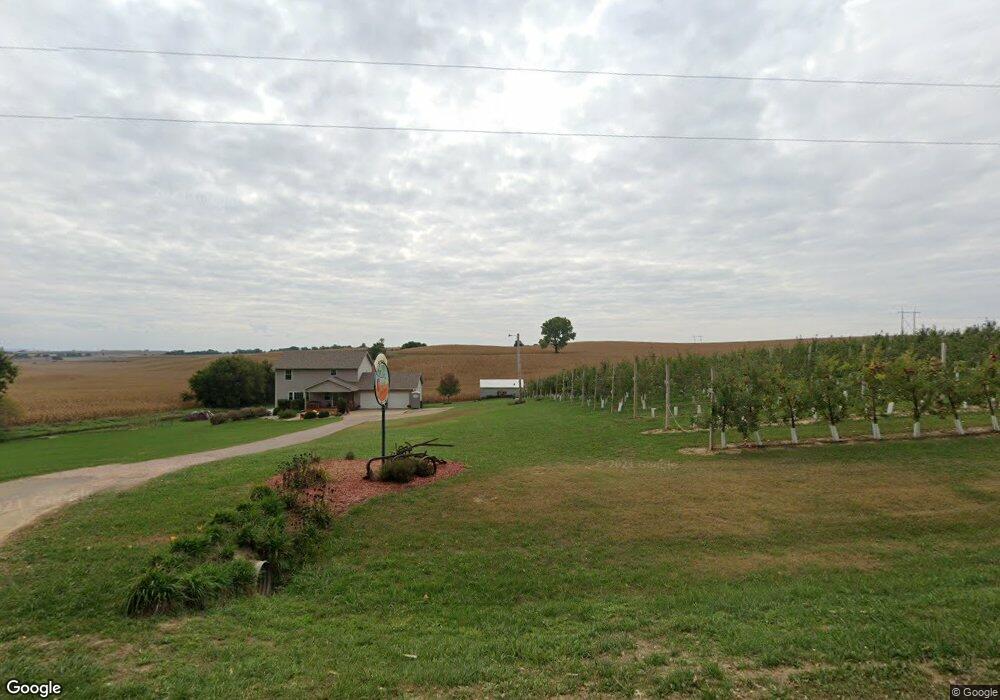
1658 180th St Sioux City, IA 51106
Estimated Value: $401,000 - $491,356
3
Beds
4
Baths
2,100
Sq Ft
$219/Sq Ft
Est. Value
About This Home
This home is located at 1658 180th St, Sioux City, IA 51106 and is currently estimated at $459,589, approximately $218 per square foot. 1658 180th St is a home located in Woodbury County with nearby schools including Sergeant Bluff-Luton Primary School, Sergeant Bluff-Luton Elementary School, and Sergeant Bluff-Luton Middle School.
Ownership History
Date
Name
Owned For
Owner Type
Purchase Details
Closed on
Jun 27, 2007
Sold by
Girard Timothy and Girard Tera
Bought by
Heger Jason K and Heger Stephanie J
Current Estimated Value
Home Financials for this Owner
Home Financials are based on the most recent Mortgage that was taken out on this home.
Original Mortgage
$193,455
Outstanding Balance
$118,822
Interest Rate
6.26%
Mortgage Type
New Conventional
Estimated Equity
$340,767
Create a Home Valuation Report for This Property
The Home Valuation Report is an in-depth analysis detailing your home's value as well as a comparison with similar homes in the area
Home Values in the Area
Average Home Value in this Area
Purchase History
| Date | Buyer | Sale Price | Title Company |
|---|---|---|---|
| Heger Jason K | $215,000 | -- |
Source: Public Records
Mortgage History
| Date | Status | Borrower | Loan Amount |
|---|---|---|---|
| Open | Heger Jason K | $193,455 |
Source: Public Records
Tax History Compared to Growth
Tax History
| Year | Tax Paid | Tax Assessment Tax Assessment Total Assessment is a certain percentage of the fair market value that is determined by local assessors to be the total taxable value of land and additions on the property. | Land | Improvement |
|---|---|---|---|---|
| 2025 | $4,350 | $435,730 | $69,600 | $366,130 |
| 2024 | $4,350 | $426,530 | $46,000 | $380,530 |
| 2023 | $3,726 | $426,530 | $46,000 | $380,530 |
| 2022 | $3,694 | $309,330 | $46,000 | $263,330 |
| 2021 | $3,694 | $309,330 | $46,000 | $263,330 |
| 2020 | $3,500 | $282,120 | $49,220 | $232,900 |
| 2019 | $3,286 | $282,120 | $49,220 | $232,900 |
| 2018 | $3,260 | $262,860 | $29,960 | $232,900 |
| 2017 | $3,260 | $262,860 | $29,960 | $232,900 |
| 2016 | $3,818 | $262,860 | $0 | $0 |
| 2015 | $3,691 | $245,660 | $28,000 | $217,660 |
| 2014 | $3,503 | $245,660 | $28,000 | $217,660 |
Source: Public Records
Map
Nearby Homes
- 6810 Brookside Dr
- 6700 Windsong Ct
- 3441 Glen Ellen Rd
- 6701 Windsong Ct
- 1713 Old Highway 141
- TBD Old Highway 141
- 17 Heritage Place
- 6413 Mickelson St
- 2564 Nicklaus Blvd
- 2640 Nicklaus Blvd
- 2600 Nicklaus Blvd
- 5225 Lynx Ct
- 5201 Lynx Ct
- 6290 Tiger Dr
- 1441 170th St
- 6104 Pine View Dr
- 5510 Christy Rd
- 6119 Morningside Ave
- 1903 Elk Creek Rd
- 4559 Elk Creek Rd
- 1652 180th St
- 1642 180th St
- 1628 180th St
- 1624 180th St
- 1832 Buchanan Ave
- 1844 Buchanan Ave
- 1616 180th St
- 1616 180th St
- 1846 Buchanan Ave
- 1827 Buchanan Ave
- 1581 180th St
- 1861 Buchanan Ave
- 1746 Buchanan Ave
- 1727 180th St
- 1717 180th St
- 1721 180th St
- 1715 180th St
- 141 Old Hwy 141
- 0 Old Hwy 141 Unit 602463
- 0 Old Hwy 141 Unit 602563