Estimated Value: $232,000 - $256,539
2
Beds
2
Baths
1,096
Sq Ft
$223/Sq Ft
Est. Value
About This Home
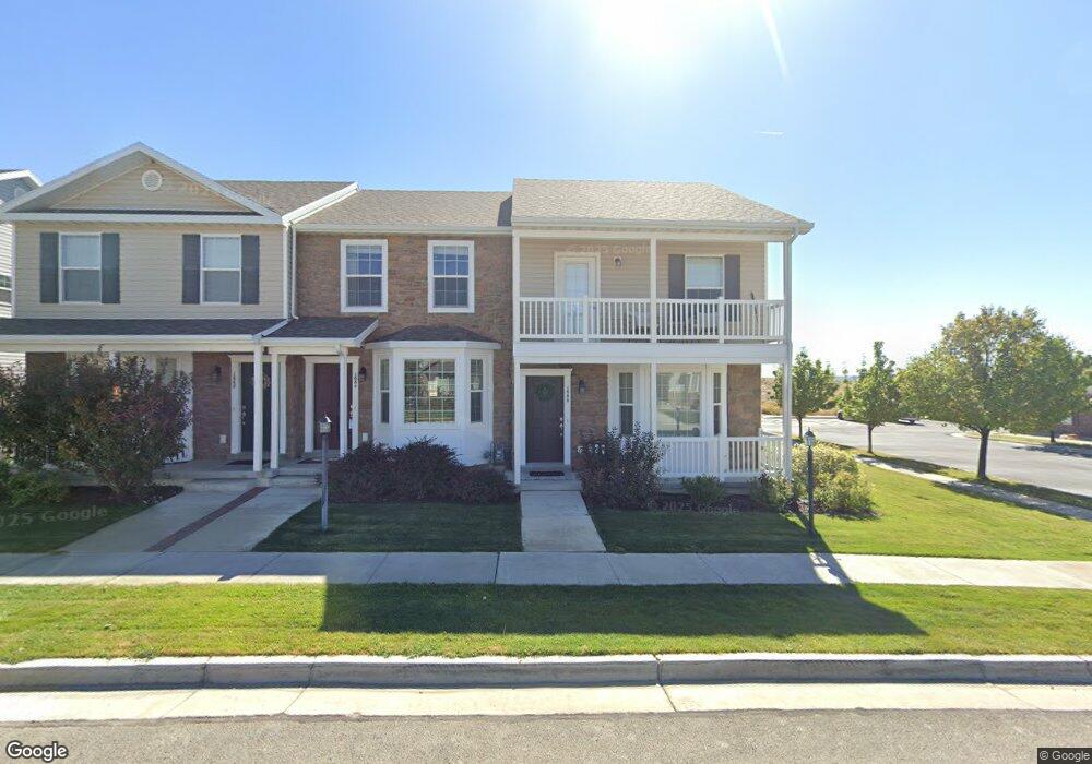
This home is located at 1658 E 450 N, Price, UT 84501 and is currently estimated at $244,385, approximately $222 per square foot. 1658 E 450 N is a home located in Carbon County with nearby schools including Castle Heights School, Mont Harmon Junior High School, and Carbon High School.
Ownership History
Date
Name
Owned For
Owner Type
Purchase Details
Closed on
Jun 6, 2023
Sold by
Flores Fernando H
Bought by
Tce Homes Llc
Current Estimated Value
Purchase Details
Closed on
Aug 7, 2020
Sold by
Houston Robert
Bought by
Flores Fernando H and Flores Liliana J
Home Financials for this Owner
Home Financials are based on the most recent Mortgage that was taken out on this home.
Original Mortgage
$126,400
Interest Rate
3%
Mortgage Type
New Conventional
Purchase Details
Closed on
Dec 11, 2018
Sold by
Pritt Nathan
Bought by
Houston Robert
Purchase Details
Closed on
Aug 28, 2015
Sold by
Georgetown Development Inc
Bought by
Pritt Nathan
Home Financials for this Owner
Home Financials are based on the most recent Mortgage that was taken out on this home.
Original Mortgage
$130,099
Interest Rate
4.87%
Mortgage Type
FHA
Create a Home Valuation Report for This Property
The Home Valuation Report is an in-depth analysis detailing your home's value as well as a comparison with similar homes in the area
Purchase History
We collect this data history from publicly available records. To have your information removed, we recommend requesting removal directly through your county’s website.
| Date | Buyer | Sale Price | Title Company |
|---|---|---|---|
| Tce Homes Llc | -- | Metro National Title | |
| Flores Fernando H | -- | South Eastern Utah Ttl Compa | |
| Houston Robert | -- | South East Title Company | |
| Pritt Nathan | -- | None Available |
Source: Public Records
Mortgage History
We collect this data history from publicly available records. To have your information removed, we recommend requesting removal directly through your county’s website.
| Date | Status | Borrower | Loan Amount |
|---|---|---|---|
| Previous Owner | Flores Fernando H | $126,400 | |
| Previous Owner | Pritt Nathan | $130,099 |
Source: Public Records
Tax History
| Year | Tax Paid | Tax Assessment Tax Assessment Total Assessment is a certain percentage of the fair market value that is determined by local assessors to be the total taxable value of land and additions on the property. | Land | Improvement |
|---|---|---|---|---|
| 2025 | $1,502 | $123,671 | $6,820 | $116,851 |
| 2024 | $1,470 | $122,373 | $49,500 | $72,873 |
| 2023 | $1,301 | $115,500 | $19,250 | $96,250 |
| 2022 | $1,398 | $111,371 | $17,524 | $93,846 |
| 2021 | $1,217 | $150,420 | $26,775 | $123,645 |
| 2020 | $1,199 | $74,361 | $0 | $0 |
| 2019 | $1,074 | $69,871 | $0 | $0 |
| 2018 | $1,012 | $67,199 | $0 | $0 |
| 2017 | $1,000 | $67,199 | $0 | $0 |
| 2016 | $902 | $67,199 | $0 | $0 |
| 2015 | $902 | $67,199 | $0 | $0 |
| 2014 | $333 | $25,000 | $0 | $0 |
| 2013 | $337 | $25,000 | $0 | $0 |
Source: Public Records
Map
Nearby Homes
- 1684 Eastridge Rd
- 1716 Sagewood Rd
- 1348 Sagewood Rd
- 688 Birch Cir
- 835 Essex Cir
- 1841 E 8th N Unit 78
- 831 N 1820 E Unit 66
- 1855 E 8th N Unit 77
- 1830 E 840 N Unit 80
- 1840 E 840 N Unit 81
- 1858 E 840 N Unit 82
- 1829 E 840 N Unit 87
- 1843 E 840 N Unit 86
- 1857 E 840 N Unit 85
- 838 N 1880 E Unit 73
- 1871 E 840 N Unit 84
- 410 N Crestview Dr
- 854 N 1880 E Unit 72
- 868 N 1880 E Unit 71
- 1875 E 880 N
- 1654 E 450 N Unit 1654 E
- 1654 E 450 N
- 1652 E 450 N
- 1662 E 450 N
- 1670 E 450 N
- 1670 E 450 N Unit 14
- 1672 E 450 N
- 1672 E 450 N Unit 13
- 1672 E 450 N
- 1678 E 450 N
- 1660 Eastridge Rd
- 1664 E 475 N
- 1660 E 475 N
- 1660 E 475 N Unit 7
- 1668 E 475 N
- 1664 Eastridge Rd
- 1674 Eastridge Rd
- 1642 E 475 N
- 1668 E Eastridge Rd N
- 1642 Eastridge Rd
Your Personal Tour Guide
Ask me questions while you tour the home.