16585 Cross Ridges Rd Gateway, AR 72733
Estimated Value: $342,000 - $429,840
--
Bed
--
Bath
1,686
Sq Ft
$233/Sq Ft
Est. Value
About This Home
This home is located at 16585 Cross Ridges Rd, Gateway, AR 72733 and is currently estimated at $392,280, approximately $232 per square foot. 16585 Cross Ridges Rd is a home with nearby schools including Pea Ridge Intermediate School, Pea Ridge Primary School, and Pea Ridge Junior High School.
Ownership History
Date
Name
Owned For
Owner Type
Purchase Details
Closed on
Aug 18, 2009
Sold by
Rothfus Melissa L
Bought by
Mason Melissa L and Mason Jeffrey C
Current Estimated Value
Purchase Details
Closed on
Mar 30, 2005
Sold by
Rothfus Danny
Bought by
Rothfus Melissa
Home Financials for this Owner
Home Financials are based on the most recent Mortgage that was taken out on this home.
Original Mortgage
$60,000
Interest Rate
5.64%
Mortgage Type
Purchase Money Mortgage
Purchase Details
Closed on
Sep 24, 1997
Bought by
Rothfus 30%
Purchase Details
Closed on
Jan 12, 1996
Bought by
Hurd Tr
Purchase Details
Closed on
Dec 29, 1995
Bought by
Rothfus 35%
Purchase Details
Closed on
Aug 6, 1989
Bought by
Hurd R
Create a Home Valuation Report for This Property
The Home Valuation Report is an in-depth analysis detailing your home's value as well as a comparison with similar homes in the area
Home Values in the Area
Average Home Value in this Area
Purchase History
| Date | Buyer | Sale Price | Title Company |
|---|---|---|---|
| Mason Melissa L | -- | None Available | |
| Rothfus Melissa | -- | None Available | |
| Rothfus 30% | -- | -- | |
| Hurd Tr | -- | -- | |
| Rothfus 35% | -- | -- | |
| Rothfus 35% | -- | -- | |
| Hurd R | -- | -- |
Source: Public Records
Mortgage History
| Date | Status | Borrower | Loan Amount |
|---|---|---|---|
| Previous Owner | Rothfus Melissa | $60,000 |
Source: Public Records
Tax History Compared to Growth
Tax History
| Year | Tax Paid | Tax Assessment Tax Assessment Total Assessment is a certain percentage of the fair market value that is determined by local assessors to be the total taxable value of land and additions on the property. | Land | Improvement |
|---|---|---|---|---|
| 2025 | $1,117 | $37,825 | $6,225 | $31,600 |
| 2024 | $1,134 | $37,825 | $6,225 | $31,600 |
| 2023 | $1,082 | $23,430 | $5,120 | $18,310 |
| 2022 | $817 | $23,430 | $5,120 | $18,310 |
| 2021 | $774 | $23,430 | $5,120 | $18,310 |
| 2020 | $748 | $16,830 | $3,260 | $13,570 |
| 2019 | $748 | $16,830 | $3,260 | $13,570 |
| 2018 | $958 | $16,830 | $3,260 | $13,570 |
| 2017 | $708 | $16,830 | $3,260 | $13,570 |
| 2016 | $708 | $16,830 | $3,260 | $13,570 |
| 2015 | $1,030 | $18,110 | $5,590 | $12,520 |
| 2014 | $780 | $18,110 | $5,590 | $12,520 |
Source: Public Records
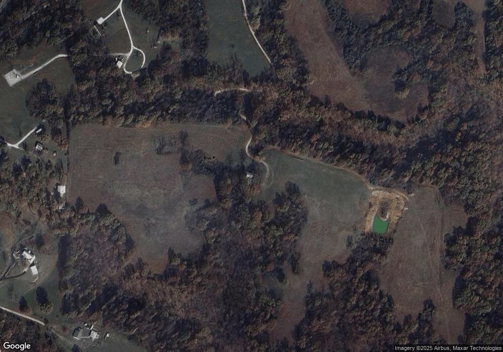
Map
Nearby Homes
- 16280 Boll Weevil Ln
- 16150 Skyline Dr
- 15936 Skyline Dr
- 17253 Arkansas 37
- 15624 Roberts Loop
- 17159 Mill Hill Rd
- 15829 N Wimpy Jones Rd
- 17644 State Highway 37
- 16856 Mahurin Loop
- 17388 Clantonville Rd
- 0 TBD Beaver Hollow Rd
- 18943 Highway 62
- 18196 Beaver Hollow Rd
- 5.32 Acres Deer Meadow Dr
- 22AC Gann Ridge Rd
- 18440 Beaver Hollow Rd
- 7959 Heritage Heights Rd
- 0 N Wimpy Jones Rd Unit 1316500
- 22606 Dam Site Loop
- Lot 1 Doc Meyer Rd
- 16760 Old Highway Rd
- 16766 Old Highway Rd
- 19491 Highway 62
- 19487 Highway 62
- 16748 Old Highway Rd
- 19485 Highway 62
- 19580 Cotton Ln
- 19444 Cotton Ln
- 19631 Highway 62
- 0 127 Hwy Unit 599232
- 14707 72 Hwy
- 0 127 Hwy Unit 613463
- 0 127 Hwy Unit 616673
- Tract 1 S 37 Hwy
- Tract 2 S 37 Hwy
- Tract 3 S 37 Hwy
- 0 127 Hwy Unit 633680
- 0 127 Hwy Unit 1065438
- 0 37 Hwy Unit 694247