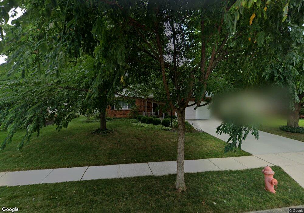
1659 Sandhurst Rd Columbus, OH 43229
Northgate NeighborhoodEstimated Value: $310,718 - $341,000
4
Beds
3
Baths
1,891
Sq Ft
$169/Sq Ft
Est. Value
About This Home
This home is located at 1659 Sandhurst Rd, Columbus, OH 43229 and is currently estimated at $319,430, approximately $168 per square foot. 1659 Sandhurst Rd is a home located in Franklin County with nearby schools including Alpine Elementary School, Northgate Intermediate, and Woodward Park Middle School.
Ownership History
Date
Name
Owned For
Owner Type
Purchase Details
Closed on
Feb 18, 2003
Sold by
Maynard Thomas J and Maynard Mary
Bought by
Maynard Thomas J and Maynard Mary
Current Estimated Value
Purchase Details
Closed on
Jan 2, 1979
Bought by
Maynard Thomas J
Purchase Details
Closed on
Oct 1, 1978
Create a Home Valuation Report for This Property
The Home Valuation Report is an in-depth analysis detailing your home's value as well as a comparison with similar homes in the area
Home Values in the Area
Average Home Value in this Area
Purchase History
| Date | Buyer | Sale Price | Title Company |
|---|---|---|---|
| Maynard Thomas J | -- | -- | |
| Maynard Thomas J | -- | -- | |
| -- | $53,000 | -- |
Source: Public Records
Tax History Compared to Growth
Tax History
| Year | Tax Paid | Tax Assessment Tax Assessment Total Assessment is a certain percentage of the fair market value that is determined by local assessors to be the total taxable value of land and additions on the property. | Land | Improvement |
|---|---|---|---|---|
| 2024 | $3,921 | $97,160 | $21,420 | $75,740 |
| 2023 | $3,899 | $97,160 | $21,420 | $75,740 |
| 2022 | $2,756 | $61,880 | $14,700 | $47,180 |
| 2021 | $2,760 | $61,880 | $14,700 | $47,180 |
| 2020 | $2,764 | $61,880 | $14,700 | $47,180 |
| 2019 | $2,382 | $48,020 | $11,760 | $36,260 |
| 2018 | $2,224 | $48,020 | $11,760 | $36,260 |
| 2017 | $2,331 | $48,020 | $11,760 | $36,260 |
| 2016 | $2,281 | $43,190 | $8,820 | $34,370 |
| 2015 | $2,071 | $43,190 | $8,820 | $34,370 |
| 2014 | $2,076 | $43,190 | $8,820 | $34,370 |
| 2013 | $1,167 | $47,985 | $9,800 | $38,185 |
Source: Public Records
Map
Nearby Homes
- 6035 Karl Rd
- 1549 Alpine Dr
- 1752 Pine Tree St S Unit H
- 1743 Pine Tree St N Unit A
- 1390 E Dublin Granville Rd
- 1687 Brookfield Square S
- 6019 Beechcroft Rd
- 1288 Oakfield Dr N
- 6342 Bellmeadow Dr
- 1492 Cottonwood Dr
- 1881 Brimfield Rd
- 5732 Beechcroft Rd Unit B
- 5726 Beechcroft Rd Unit J
- 6407 Faircrest Rd
- 6245 Sharon Woods Blvd
- 1722 Blue Ash Place
- 6189 Northgap Dr
- 1171 Newbury Dr
- 6458 Faircrest Rd
- 6407 Skywae Dr
- 1667 Sandhurst Rd
- 1647 Sandhurst Rd
- 1662 Durbridge Rd Unit 664
- 1679 Sandhurst Rd
- 1654 Durbridge Rd Unit 656
- 1670 Durbridge Rd Unit 672
- 5990 Darby Ln
- 1660 Sandhurst Rd
- 1668 Sandhurst Rd
- 1648 Sandhurst Rd
- 5976 Darby Ln Unit 5976
- 1644 Durbridge Rd
- 1682 Durbridge Rd Unit 684
- 1687 Sandhurst Rd
- 1678 Sandhurst Rd
- 6012 Darby Ln
- 1686 Sandhurst Rd
- 1690 Durbridge Rd Unit 692
- 1699 Sandhurst Rd
- 1698 Sandhurst Rd