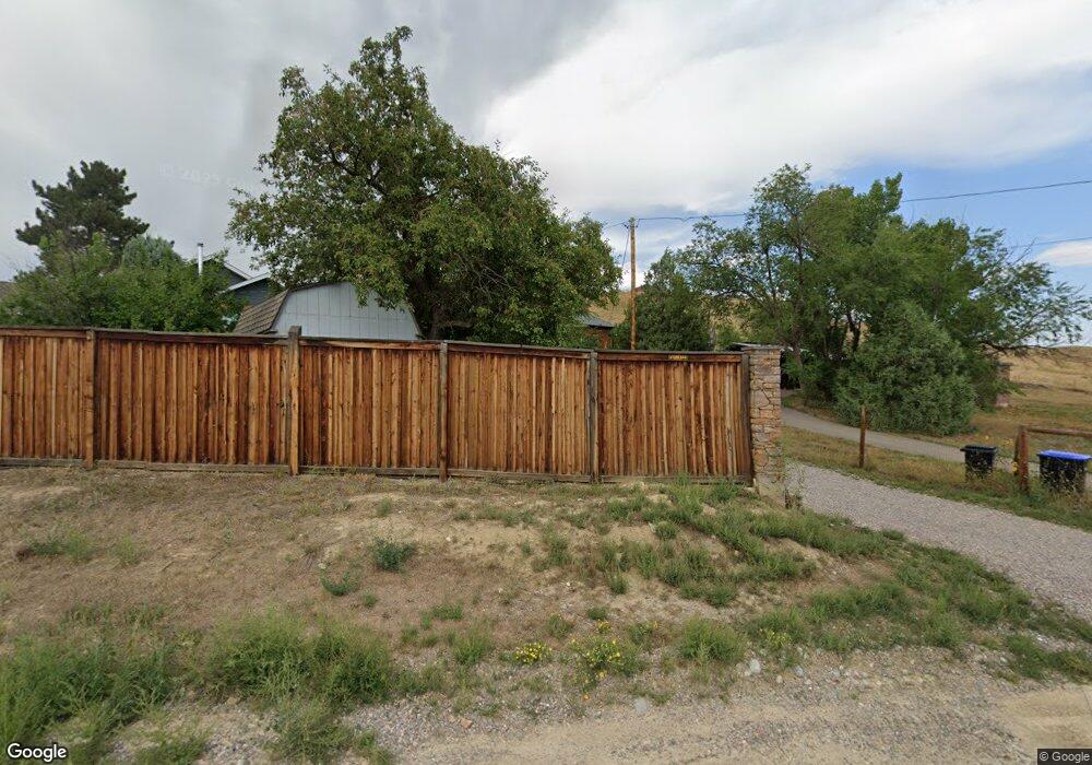
16595 W 82nd Ave Arvada, CO 80007
Leyden Rock NeighborhoodEstimated Value: $443,000 - $645,000
2
Beds
1
Bath
1,040
Sq Ft
$548/Sq Ft
Est. Value
About This Home
This home is located at 16595 W 82nd Ave, Arvada, CO 80007 and is currently estimated at $569,901, approximately $547 per square foot. 16595 W 82nd Ave is a home located in Jefferson County with nearby schools including Meiklejohn Elementary School, Wayne Carle Middle School, and Ralston Valley Senior High School.
Ownership History
Date
Name
Owned For
Owner Type
Purchase Details
Closed on
Oct 26, 2006
Sold by
Wieland Edward Paul
Bought by
Wieland Elizabeth Diane
Current Estimated Value
Purchase Details
Closed on
Aug 7, 2006
Sold by
Wieland Edward Paul
Bought by
Wieland Elizabeth Diane
Purchase Details
Closed on
Jul 21, 2006
Sold by
Wieland Edward P
Bought by
Wieland Elizabeth D
Create a Home Valuation Report for This Property
The Home Valuation Report is an in-depth analysis detailing your home's value as well as a comparison with similar homes in the area
Home Values in the Area
Average Home Value in this Area
Purchase History
| Date | Buyer | Sale Price | Title Company |
|---|---|---|---|
| Wieland Elizabeth Diane | -- | None Available | |
| Wieland Elizabeth Diane | -- | None Available | |
| Wieland Elizabeth D | -- | None Available |
Source: Public Records
Tax History Compared to Growth
Tax History
| Year | Tax Paid | Tax Assessment Tax Assessment Total Assessment is a certain percentage of the fair market value that is determined by local assessors to be the total taxable value of land and additions on the property. | Land | Improvement |
|---|---|---|---|---|
| 2024 | $3,439 | $42,154 | $35,659 | $6,495 |
| 2023 | $3,439 | $42,154 | $35,659 | $6,495 |
| 2022 | $1,775 | $25,078 | $17,063 | $8,015 |
| 2021 | $1,805 | $25,800 | $17,554 | $8,246 |
| 2020 | $1,485 | $22,537 | $14,298 | $8,239 |
| 2019 | $1,465 | $22,537 | $14,298 | $8,239 |
| 2018 | $2,187 | $22,335 | $17,300 | $5,035 |
| 2017 | $2,002 | $22,335 | $17,300 | $5,035 |
| 2016 | $2,585 | $19,754 | $12,407 | $7,347 |
| 2015 | $2,583 | $19,754 | $12,407 | $7,347 |
| 2014 | $2,583 | $18,289 | $12,598 | $5,691 |
Source: Public Records
Map
Nearby Homes
- 16096 W 84th Ln
- 8625 Rogers Way Unit B
- 17223 W 84th Dr
- 16908 W 86th Ave
- 8262 Moss Cir
- 16847 W 86th Ave
- 8275 Moss Cir
- 16978 W 87th Ave
- 17097 W 87th Ave
- 7787 Mcintyre Ct
- 16843 W 75th Place
- 17935 W 77th Dr
- 16225 W 74th Dr
- 17897 W 87th Ave
- 17164 W 91st Ln
- 18366 W 83rd Dr
- 17122 W 91st Ln
- 17115 W 91st Ln
- 17117 W 91st Ln
- 17152 W 91st Ln