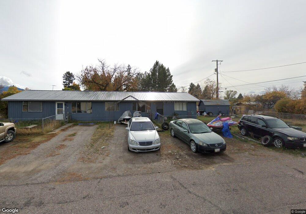
166 A Street West N Columbia Falls, MT 59912
Estimated Value: $406,000 - $503,000
4
Beds
4
Baths
1,440
Sq Ft
$306/Sq Ft
Est. Value
About This Home
This home is located at 166 A Street West N, Columbia Falls, MT 59912 and is currently estimated at $441,144, approximately $306 per square foot. 166 A Street West N is a home located in Flathead County with nearby schools including Glacier Gateway Elementary School, Columbia Falls Junior High School (7-8), and Columbia Falls High School.
Ownership History
Date
Name
Owned For
Owner Type
Purchase Details
Closed on
Mar 28, 2025
Sold by
Petero Anthony Wayne
Bought by
Housel Evan
Current Estimated Value
Home Financials for this Owner
Home Financials are based on the most recent Mortgage that was taken out on this home.
Original Mortgage
$213,750
Outstanding Balance
$212,841
Interest Rate
6.87%
Mortgage Type
New Conventional
Estimated Equity
$228,303
Create a Home Valuation Report for This Property
The Home Valuation Report is an in-depth analysis detailing your home's value as well as a comparison with similar homes in the area
Home Values in the Area
Average Home Value in this Area
Purchase History
| Date | Buyer | Sale Price | Title Company |
|---|---|---|---|
| Housel Evan | -- | None Listed On Document |
Source: Public Records
Mortgage History
| Date | Status | Borrower | Loan Amount |
|---|---|---|---|
| Open | Housel Evan | $213,750 |
Source: Public Records
Tax History Compared to Growth
Tax History
| Year | Tax Paid | Tax Assessment Tax Assessment Total Assessment is a certain percentage of the fair market value that is determined by local assessors to be the total taxable value of land and additions on the property. | Land | Improvement |
|---|---|---|---|---|
| 2025 | $1,452 | $335,400 | $0 | $0 |
| 2024 | $2,332 | $331,200 | $0 | $0 |
| 2023 | $2,523 | $331,200 | $0 | $0 |
| 2022 | $2,300 | $209,000 | $0 | $0 |
| 2021 | $2,313 | $209,000 | $0 | $0 |
| 2020 | $1,873 | $148,100 | $0 | $0 |
| 2019 | $1,787 | $148,100 | $0 | $0 |
| 2018 | $1,743 | $138,000 | $0 | $0 |
| 2017 | $1,691 | $138,000 | $0 | $0 |
| 2016 | $1,415 | $110,100 | $0 | $0 |
| 2015 | $1,405 | $110,100 | $0 | $0 |
| 2014 | $1,605 | $77,570 | $0 | $0 |
Source: Public Records
Map
Nearby Homes
- 221 2nd Ave W
- 324 1st Ave E
- 540 Nucleus Ave Unit 304
- 540 Nucleus Ave Unit 306
- 519 Nucleus Ave Unit Suite 303
- 409 1st Street East N
- 307 5th St E
- 12 Mitchell Way
- 2225 Tamarack Ln
- 812 4th Ave E
- 1020 3rd Ave E
- 929 9th St W
- 875 River Ave
- 830 11th St W
- 9 Cedar Pointe Loop
- 450 Highway 2 E
- 1605 & 1629 4th Ave W
- 659 Us Highway 2 E
- 943 Frontage Rd
- 1408 11th St W
- 180 1st Ave E Unit WN
- 180 1st Ave E
- 175 2nd Ave W
- 175 2nd Avenue West N
- 185 2nd Avenue West N
- 262 1st Ave W
- 262 1st Avenue West N
- 262 1st Ave E
- 185 2nd Ave W
- 185 2nd Ave W Unit N
- 155 1st Street West N
- 155 1st Ave W
- 171 2nd Ave W
- 155 1st Ave W
- 171 1st Avenue West N
- 185 1/2 1st St E
- 185 1st Ave W
- 194 2nd Avenue West N
- 194 2nd Ave W
- NHN First Ave W