Estimated Value: $233,324 - $292,000
Studio
--
Bath
1,661
Sq Ft
$153/Sq Ft
Est. Value
About This Home
This home is located at 166 Dalton Cove, Byram, MS 39272 and is currently estimated at $253,775, approximately $152 per square foot. 166 Dalton Cove is a home located in Hinds County with nearby schools including Gary Road Elementary School, Gary Road Intermediate School, and Byram Middle School.
Ownership History
Date
Name
Owned For
Owner Type
Purchase Details
Closed on
Jun 20, 2017
Sold by
Maldonado Michael
Bought by
Robinson Keeshawn D and Robinson Tiffancy
Current Estimated Value
Home Financials for this Owner
Home Financials are based on the most recent Mortgage that was taken out on this home.
Original Mortgage
$164,957
Outstanding Balance
$135,211
Interest Rate
3.5%
Mortgage Type
FHA
Estimated Equity
$118,564
Create a Home Valuation Report for This Property
The Home Valuation Report is an in-depth analysis detailing your home's value as well as a comparison with similar homes in the area
Home Values in the Area
Average Home Value in this Area
Purchase History
| Date | Buyer | Sale Price | Title Company |
|---|---|---|---|
| Robinson Keeshawn D | -- | None Available |
Source: Public Records
Mortgage History
| Date | Status | Borrower | Loan Amount |
|---|---|---|---|
| Open | Robinson Keeshawn D | $164,957 |
Source: Public Records
Tax History
| Year | Tax Paid | Tax Assessment Tax Assessment Total Assessment is a certain percentage of the fair market value that is determined by local assessors to be the total taxable value of land and additions on the property. | Land | Improvement |
|---|---|---|---|---|
| 2025 | $1,779 | $13,669 | $2,000 | $11,669 |
| 2024 | $1,779 | $13,291 | $2,000 | $11,291 |
| 2023 | $1,779 | $13,291 | $2,000 | $11,291 |
| 2022 | $2,045 | $13,291 | $2,000 | $11,291 |
| 2021 | $1,718 | $13,291 | $2,000 | $11,291 |
| 2020 | $1,661 | $13,088 | $2,000 | $11,088 |
| 2019 | $1,651 | $13,088 | $2,000 | $11,088 |
| 2018 | $1,651 | $13,088 | $2,000 | $11,088 |
| 2017 | $1,615 | $13,088 | $2,000 | $11,088 |
| 2016 | $1,615 | $13,088 | $2,000 | $11,088 |
| 2015 | $1,592 | $12,929 | $2,000 | $10,929 |
| 2014 | $1,566 | $12,929 | $2,000 | $10,929 |
Source: Public Records
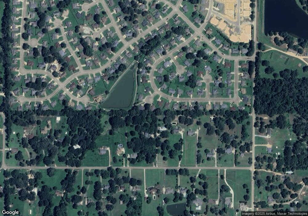
Map
Nearby Homes
- 217 Raulston Dr
- 220 Raulston Dr
- 224 Raulston Dr
- 229 Raulston Dr
- 244 Raulston Dr
- 252 Raulston Dr
- 256 Raulston Dr
- 260 Raulston Dr
- Cairn Plan at Barrington
- ARIA Plan at Barrington
- Booth Plan at Barrington
- Alston Plan at Barrington
- 0 Henderson Rd Unit 4126215
- 0000 Henderson Rd
- 724 Forest Woods Dr
- 4299 Henderson Rd
- 737 Forest Woods Dr Unit 48
- 807 Meadow Way Cove
- 316 Southhaven Dr
- 6760 S Siwell Rd
- 170 Dalton Cove
- 160 Raulston Dr
- 156 Raulston Dr
- 174 Dalton Cove
- 164 Raulston Dr
- 155 Raulston Dr
- 152 Raulston Dr
- 5026 Kay Brook Dr
- 159 Raulston Dr
- 5030 Kay Brook Dr
- 168 Raulston Dr
- 165 Raulston Dr
- 151 Raulston Dr
- 148 Raulston Dr
- 5022 Kay Brook Dr
- 172 Raulston Dr
- 175 Raulston Dr
- 169 Halston Cove
- 144 Raulston Dr
- 143 Raulston Dr