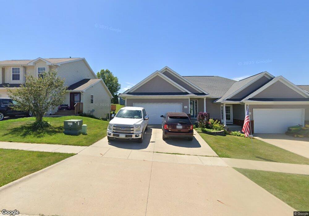
166 Hilltop Dr West Branch, IA 52358
Estimated Value: $269,597 - $294,000
4
Beds
1
Bath
2,378
Sq Ft
$119/Sq Ft
Est. Value
About This Home
This home is located at 166 Hilltop Dr, West Branch, IA 52358 and is currently estimated at $283,649, approximately $119 per square foot. 166 Hilltop Dr is a home located in Cedar County with nearby schools including Hoover Elementary School, West Branch Middle School, and West Branch High School.
Ownership History
Date
Name
Owned For
Owner Type
Purchase Details
Closed on
Sep 27, 2009
Sold by
Sexton Jerry and Sexton Tammy J
Bought by
Owen Michael C and Owen Deborah K
Current Estimated Value
Home Financials for this Owner
Home Financials are based on the most recent Mortgage that was taken out on this home.
Original Mortgage
$150,160
Interest Rate
5.28%
Mortgage Type
New Conventional
Purchase Details
Closed on
Aug 19, 2009
Sold by
Sexton Jerry and Sexton Tammy J
Bought by
Owen Michael C and Owen Deborah K
Home Financials for this Owner
Home Financials are based on the most recent Mortgage that was taken out on this home.
Original Mortgage
$150,160
Interest Rate
5.28%
Mortgage Type
New Conventional
Purchase Details
Closed on
Mar 30, 2007
Sold by
Pine Ridge Home L L C
Bought by
Sexton Jerry D and Sexton Tammy J
Home Financials for this Owner
Home Financials are based on the most recent Mortgage that was taken out on this home.
Original Mortgage
$217,500
Interest Rate
6.2%
Mortgage Type
Construction
Create a Home Valuation Report for This Property
The Home Valuation Report is an in-depth analysis detailing your home's value as well as a comparison with similar homes in the area
Home Values in the Area
Average Home Value in this Area
Purchase History
| Date | Buyer | Sale Price | Title Company |
|---|---|---|---|
| Owen Michael C | -- | None Available | |
| Owen Michael C | $188,000 | None Available | |
| Sexton Jerry D | $38,500 | None Available |
Source: Public Records
Mortgage History
| Date | Status | Borrower | Loan Amount |
|---|---|---|---|
| Previous Owner | Owen Michael C | $150,160 | |
| Previous Owner | Sexton Jerry D | $217,500 |
Source: Public Records
Tax History Compared to Growth
Tax History
| Year | Tax Paid | Tax Assessment Tax Assessment Total Assessment is a certain percentage of the fair market value that is determined by local assessors to be the total taxable value of land and additions on the property. | Land | Improvement |
|---|---|---|---|---|
| 2025 | $4,024 | $270,190 | $35,190 | $235,000 |
| 2024 | $4,024 | $260,720 | $35,190 | $225,530 |
| 2023 | $3,996 | $255,480 | $35,190 | $220,290 |
| 2022 | $3,814 | $206,180 | $25,420 | $180,760 |
| 2021 | $3,920 | $206,180 | $25,420 | $180,760 |
| 2020 | $3,792 | $202,270 | $21,510 | $180,760 |
| 2019 | $3,432 | $196,690 | $21,510 | $180,760 |
| 2018 | $3,356 | $196,690 | $0 | $0 |
| 2017 | $3,356 | $182,730 | $0 | $0 |
| 2016 | $3,300 | $182,730 | $0 | $0 |
| 2015 | $3,284 | $181,230 | $0 | $0 |
| 2014 | $3,148 | $181,230 | $0 | $0 |
Source: Public Records
Map
Nearby Homes
- 173 Hilltop Dr
- 611 Riley Ln
- 609 W Orange St
- 212 Dawson Dr
- 719 Sullivan St
- Lot 17 Meadows Subdivision Part 5
- Lot 19 Meadows Subdivision Part 6
- 817 Prairie View Dr
- Lot 17 Meadows Subdivision Part 6
- Lot 16 Meadows Subdivision Part 6
- Lot 11 Meadows Subdivision Part 6
- Lot 18 Meadows Subdivision Part 6
- Lot 14 Meadows Subdivision Part 6
- Lot 15 Meadows Subdivision Part 6
- Lot 6 Meadows Subdivision Part 6
- Lot 13 Meadows Subdivision Part 6
- Lot 3 Meadows Subdivision Part 6
- Lots 1 & 2
- Lot 12 Meadows Subdivision Part 6
- Lot 8 Meadows Subdivision Part 6