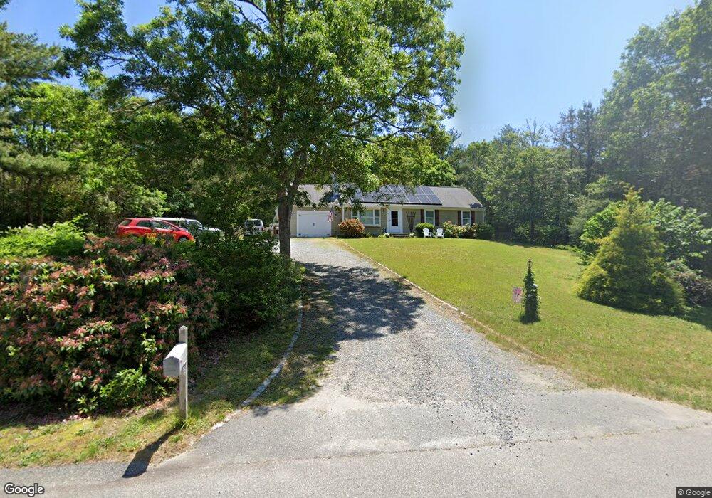
166 Noisy Hole Rd Mashpee, MA 02649
Estimated Value: $610,453 - $699,000
About This Home
This home is located at 166 Noisy Hole Rd, Mashpee, MA 02649 and is currently estimated at $658,818, approximately $623 per square foot. 166 Noisy Hole Rd is a home located in Barnstable County with nearby schools including Kenneth C. Coombs School, Quashnet School, and Mashpee Middle School.
Ownership History
We collect this data history from publicly available records. To have your information removed, we recommend requesting removal directly through your county’s website.
Purchase Details
Home Financials for this Owner
Home Financials are based on the most recent Mortgage that was taken out on this home.Purchase History
We collect this data history from publicly available records. To have your information removed, we recommend requesting removal directly through your county’s website.
| Date | Buyer | Sale Price | Title Company |
|---|---|---|---|
| $316,000 | -- | ||
| $316,000 | -- |
Mortgage History
We collect this data history from publicly available records. To have your information removed, we recommend requesting removal directly through your county’s website.
| Date | Status | Borrower | Loan Amount |
|---|---|---|---|
| Open | $252,800 | ||
| Closed | $252,800 |
Tax History
We collect this data history from publicly available records. To have your information removed, we recommend requesting removal directly through your county’s website.
| Year | Tax Paid | Tax Assessment Tax Assessment Total Assessment is a certain percentage of the fair market value that is determined by local assessors to be the total taxable value of land and additions on the property. | Land | Improvement |
|---|---|---|---|---|
| 2025 | $3,589 | $542,100 | $208,000 | $334,100 |
| 2024 | $3,291 | $511,800 | $189,100 | $322,700 |
| 2023 | $3,097 | $441,800 | $180,100 | $261,700 |
| 2022 | $2,970 | $363,500 | $146,400 | $217,100 |
| 2021 | $2,822 | $311,100 | $131,900 | $179,200 |
| 2020 | $2,742 | $301,600 | $126,800 | $174,800 |
| 2019 | $2,635 | $291,200 | $126,800 | $164,400 |
| 2018 | $3,168 | $272,600 | $126,800 | $145,800 |
| 2017 | $2,366 | $257,500 | $126,800 | $130,700 |
| 2016 | $2,309 | $249,900 | $126,800 | $123,100 |
| 2015 | $2,230 | $244,800 | $126,800 | $118,000 |
| 2014 | $2,270 | $241,700 | $125,300 | $116,400 |
Map
- 235 Main St
- 7 Schooner Ln Unit B
- 30 Sheffield Place
- 4 Bishops Park
- 265 Cotuit Rd
- 12 Drew Ln
- 34 Windsor Way
- 140 Pheasant Hill Cir
- 140 Pheasant Hill Cir
- 14 Sheffield Place
- 20 Lakewood Dr
- 39 Lovells Ln
- 39 Lovell's Ln
- 4 Hane Rd
- 60 Redwood Cir
- 5 Scituate Rd
- 45 Fox Hill Rd
- 11 Webquish Ln
- 70 Cape Dr Unit 14D
- 131 Timberlane Dr
- 160 Noisy Hole Rd
- 170 Noisy Hole Rd
- 121 Sunset Strip
- 169 Noisy Hole Rd
- 104 Park Place Way
- 100 Park Place Way
- 150 Noisy Hole Rd
- 117 Sunset Strip
- 129 Sunset Strip
- 113 Sunset Strip
- 98 Park Place Way
- 165 Noisy Hole Rd
- 149 Noisy Hole Rd
- 109 Sunset Strip
- 135 Sunset Strip
- 141 Sunset Strip
- 130 Park Place Way
- 188 Noisy Hole Rd
- 147 Sunset Strip
- 124 Sunset Strip
Ask me questions while you tour the home.