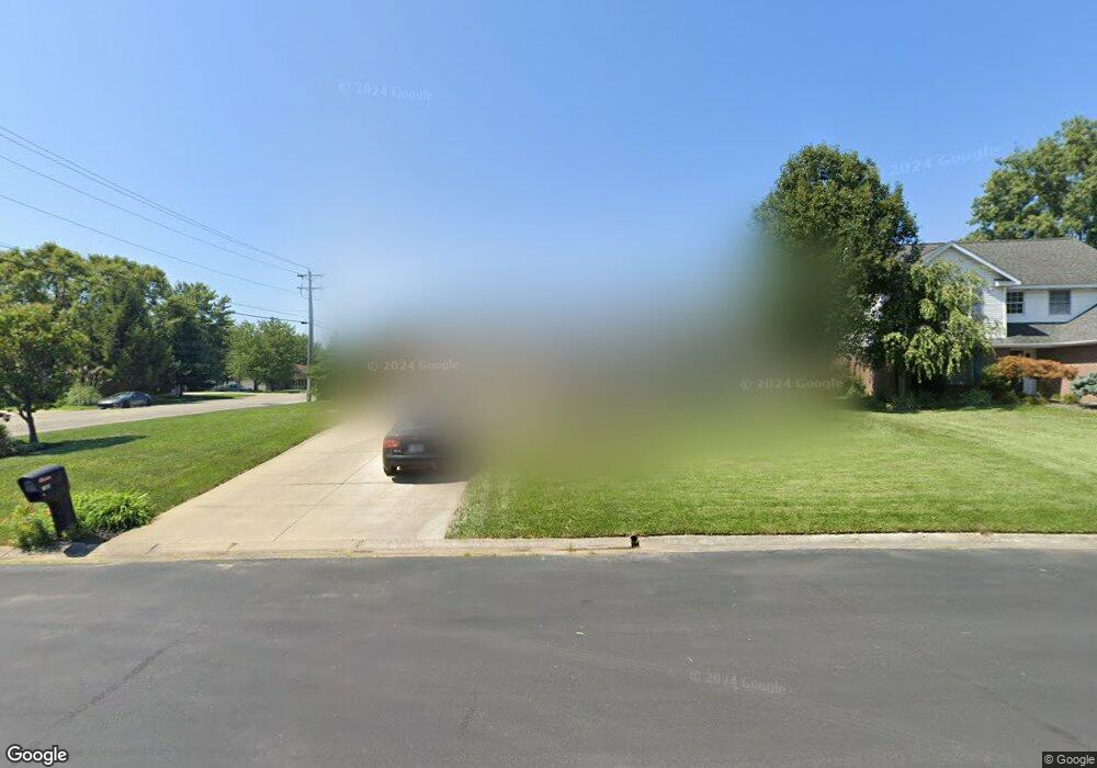
166 Robin Ct Jasper, IN 47546
Estimated Value: $287,000 - $328,000
3
Beds
3
Baths
3,178
Sq Ft
$98/Sq Ft
Est. Value
About This Home
This home is located at 166 Robin Ct, Jasper, IN 47546 and is currently estimated at $312,384, approximately $98 per square foot. 166 Robin Ct is a home located in Dubois County with nearby schools including Jasper High School, Precious Blood School, and Jasper Christian Academy.
Ownership History
Date
Name
Owned For
Owner Type
Purchase Details
Closed on
Dec 18, 2020
Sold by
Blessinger Tony D and Blessinger Jennifer S
Bought by
Wurster Richard E and Wurster Joan I
Current Estimated Value
Home Financials for this Owner
Home Financials are based on the most recent Mortgage that was taken out on this home.
Original Mortgage
$205,214
Outstanding Balance
$182,702
Interest Rate
2.7%
Mortgage Type
FHA
Estimated Equity
$129,682
Purchase Details
Closed on
Mar 27, 1998
Sold by
From Kerstiens Corp Inc
Bought by
Not Provided
Create a Home Valuation Report for This Property
The Home Valuation Report is an in-depth analysis detailing your home's value as well as a comparison with similar homes in the area
Home Values in the Area
Average Home Value in this Area
Purchase History
| Date | Buyer | Sale Price | Title Company |
|---|---|---|---|
| Wurster Richard E | -- | None Available | |
| Not Provided | $129,000 | -- |
Source: Public Records
Mortgage History
| Date | Status | Borrower | Loan Amount |
|---|---|---|---|
| Open | Wurster Richard E | $205,214 |
Source: Public Records
Tax History
| Year | Tax Paid | Tax Assessment Tax Assessment Total Assessment is a certain percentage of the fair market value that is determined by local assessors to be the total taxable value of land and additions on the property. | Land | Improvement |
|---|---|---|---|---|
| 2024 | $2,872 | $282,100 | $27,700 | $254,400 |
| 2023 | $2,845 | $279,600 | $27,700 | $251,900 |
| 2022 | $2,412 | $236,400 | $25,300 | $211,100 |
| 2021 | $2,148 | $210,100 | $24,000 | $186,100 |
| 2020 | $2,012 | $196,600 | $22,900 | $173,700 |
| 2019 | $3,965 | $192,900 | $22,900 | $170,000 |
| 2018 | $3,636 | $177,300 | $22,900 | $154,400 |
| 2017 | $3,496 | $171,200 | $22,900 | $148,300 |
| 2016 | $3,528 | $170,900 | $22,900 | $148,000 |
| 2014 | $3,334 | $166,700 | $22,900 | $143,800 |
Source: Public Records
Map
Nearby Homes
- 0 Saint Charles (Tract 1) St
- 0 Saint Charles (Tract 2) St
- 0 Saint Charles St
- 191 Gatsby Ct
- 1300 Worrell Dr
- 13 Rolling Ridge Ct
- 1437 Indiana 56
- 1709 Ashwood Dr
- 0 E State Road 164 Unit 202444640
- 0 St Charles St Unit 202507916
- 923 Jackson St
- 3480 & 3490 Saint Charles St
- 1740 W State Road 56
- 0 E Staat Strasse Rd Unit 202604041
- Jefferson St St
- 210 E 15th St
- 1609 Jackson St
- 425 Schuetter Rd
- 1327 Greene St
- 721 E 15th St
- 320 Cottonwood Ln
- 336 Cottonwood Ln
- 1101 W 2nd St
- 161 Robin Ct
- 164 Robin Ct
- 280 Cottonwood Ln
- 342 Cottonwood Ln
- 1015 W 2nd St
- 1020 W 2nd St
- 163 Robin Ct
- 260 Cottonwood Ln
- 317 Cottonwood Ln
- 331 Cottonwood Ln
- 162 Robin Ct
- 171 Ashbury Ct
- 115 N Truman Rd
- 172 Ashbury Ct
- 347 Cottonwood Ln
- 370 Cottonwood Ln
- 287 Cottonwood Ln
Your Personal Tour Guide
Ask me questions while you tour the home.