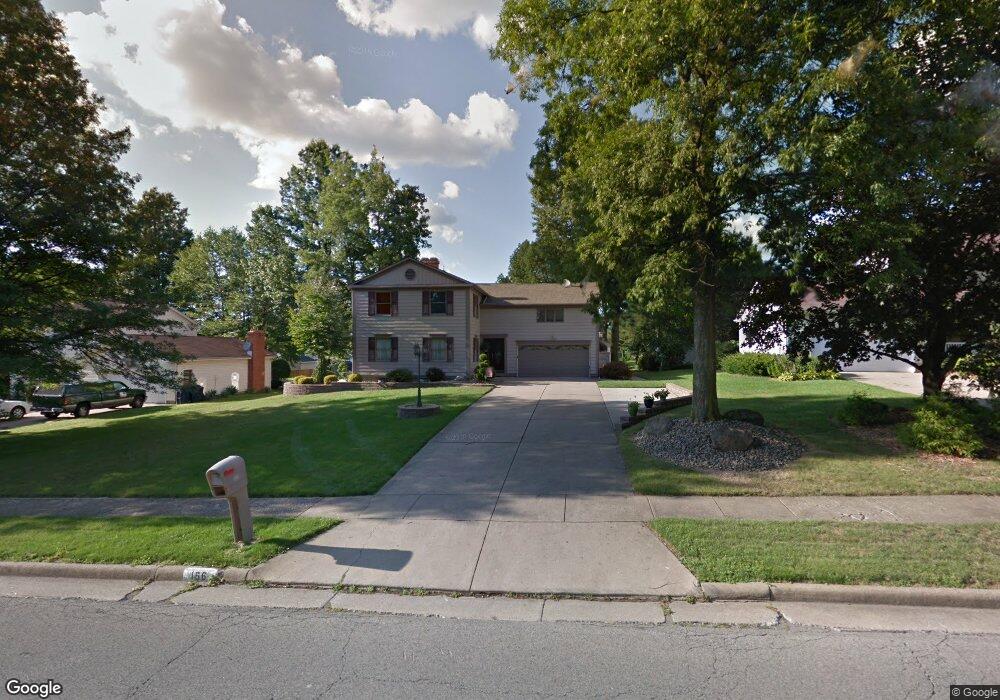
166 Roche Way Youngstown, OH 44512
Estimated Value: $267,000 - $348,894
4
Beds
3
Baths
2,678
Sq Ft
$120/Sq Ft
Est. Value
About This Home
This home is located at 166 Roche Way, Youngstown, OH 44512 and is currently estimated at $322,474, approximately $120 per square foot. 166 Roche Way is a home located in Mahoning County with nearby schools including Boardman Center Middle School, Stadium Drive Elementary School, and Boardman High School.
Ownership History
Date
Name
Owned For
Owner Type
Purchase Details
Closed on
May 26, 2000
Sold by
Bosak Stephen F and Bosak Denise M
Bought by
Veri William A
Current Estimated Value
Purchase Details
Closed on
Jun 12, 1995
Sold by
Michael K Byrnes
Bought by
Bosak Stephen F and Bosak Denise M
Home Financials for this Owner
Home Financials are based on the most recent Mortgage that was taken out on this home.
Original Mortgage
$74,400
Interest Rate
8.26%
Mortgage Type
New Conventional
Purchase Details
Closed on
Jan 10, 1994
Bought by
Byrnes Michael K and C S
Create a Home Valuation Report for This Property
The Home Valuation Report is an in-depth analysis detailing your home's value as well as a comparison with similar homes in the area
Home Values in the Area
Average Home Value in this Area
Purchase History
| Date | Buyer | Sale Price | Title Company |
|---|---|---|---|
| Veri William A | $141,900 | -- | |
| Bosak Stephen F | $139,900 | -- | |
| Byrnes Michael K | $133,000 | -- |
Source: Public Records
Mortgage History
| Date | Status | Borrower | Loan Amount |
|---|---|---|---|
| Previous Owner | Bosak Stephen F | $74,400 |
Source: Public Records
Tax History Compared to Growth
Tax History
| Year | Tax Paid | Tax Assessment Tax Assessment Total Assessment is a certain percentage of the fair market value that is determined by local assessors to be the total taxable value of land and additions on the property. | Land | Improvement |
|---|---|---|---|---|
| 2024 | $5,113 | $101,510 | $12,220 | $89,290 |
| 2023 | $5,044 | $101,510 | $12,220 | $89,290 |
| 2022 | $4,090 | $62,880 | $12,220 | $50,660 |
| 2021 | $4,093 | $62,880 | $12,220 | $50,660 |
| 2020 | $4,114 | $62,880 | $12,220 | $50,660 |
| 2019 | $4,318 | $59,320 | $11,530 | $47,790 |
| 2018 | $3,756 | $59,320 | $11,530 | $47,790 |
| 2017 | $3,753 | $59,320 | $11,530 | $47,790 |
| 2016 | $3,215 | $50,300 | $11,530 | $38,770 |
| 2015 | $3,150 | $50,300 | $11,530 | $38,770 |
| 2014 | $3,159 | $50,300 | $11,530 | $38,770 |
| 2013 | $3,119 | $50,300 | $11,530 | $38,770 |
Source: Public Records
Map
Nearby Homes
- 123 Mayflower Dr
- 152 Mayflower Dr
- 134 Mayflower Dr
- 466 Green Garden Dr
- 153 Creston Dr
- 8121 Hitchcock Rd Unit 10
- 8502 Glenwood Ave
- 74 Carter Cir
- 0 W Western Reserve Rd Unit 5146459
- 9144 Sharrott Rd
- 1555 W Western Reserve Rd
- Lot 43 Berklee Dr
- Lot 44 Berklee Dr
- Lot 36 Berklee Dr
- Lot 37 Berklee Dr
- 9264 Sharrott Rd Unit 1702
- 9264 Sharrott Rd Unit 1001
- 9264 Sharrott Rd Unit 1004
- Rosewood Plan at Courtyards at Stonegate
- 9264 Sharrott Rd Unit 104