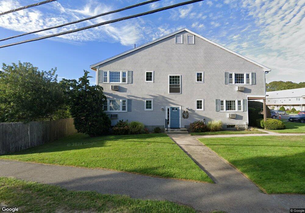
166 Upper County Rd Unit 2-7 Dennis Port, MA 02639
Dennis Port NeighborhoodEstimated Value: $214,000 - $246,000
1
Bed
1
Bath
650
Sq Ft
$362/Sq Ft
Est. Value
About This Home
This home is located at 166 Upper County Rd Unit 2-7, Dennis Port, MA 02639 and is currently estimated at $235,193, approximately $361 per square foot. 166 Upper County Rd Unit 2-7 is a home located in Barnstable County with nearby schools including Dennis-Yarmouth Regional High School and St. Pius X. School.
Ownership History
Date
Name
Owned For
Owner Type
Purchase Details
Closed on
Jul 27, 1998
Sold by
Dunn John A and Dunn Josephine Norma
Bought by
Lyons John E
Current Estimated Value
Home Financials for this Owner
Home Financials are based on the most recent Mortgage that was taken out on this home.
Original Mortgage
$29,600
Interest Rate
6.99%
Mortgage Type
Purchase Money Mortgage
Create a Home Valuation Report for This Property
The Home Valuation Report is an in-depth analysis detailing your home's value as well as a comparison with similar homes in the area
Home Values in the Area
Average Home Value in this Area
Purchase History
| Date | Buyer | Sale Price | Title Company |
|---|---|---|---|
| Lyons John E | $37,000 | -- |
Source: Public Records
Mortgage History
| Date | Status | Borrower | Loan Amount |
|---|---|---|---|
| Open | Lyons John E | $45,000 | |
| Closed | Lyons John E | $29,600 | |
| Closed | Lyons John E | $3,700 |
Source: Public Records
Tax History Compared to Growth
Tax History
| Year | Tax Paid | Tax Assessment Tax Assessment Total Assessment is a certain percentage of the fair market value that is determined by local assessors to be the total taxable value of land and additions on the property. | Land | Improvement |
|---|---|---|---|---|
| 2025 | $848 | $195,800 | $0 | $195,800 |
| 2024 | $813 | $185,100 | $0 | $185,100 |
| 2023 | $709 | $151,800 | $0 | $151,800 |
| 2022 | $685 | $122,400 | $0 | $122,400 |
| 2021 | $665 | $110,300 | $0 | $110,300 |
| 2020 | $636 | $104,300 | $0 | $104,300 |
| 2019 | $574 | $93,000 | $0 | $93,000 |
| 2018 | $585 | $92,300 | $0 | $92,300 |
| 2017 | $611 | $99,400 | $0 | $99,400 |
| 2016 | $473 | $72,400 | $0 | $72,400 |
| 2015 | $463 | $72,400 | $0 | $72,400 |
| 2014 | $430 | $67,700 | $0 | $67,700 |
Source: Public Records
Map
Nearby Homes
- 9 Country Ln
- 12 Candlewood Ln Unit 2-9
- 10 Candlewood Ln Unit 2-1
- 47 Telegraph Rd Unit 1
- 78 Upper County Rd Unit A&B
- 78 Upper County Rd
- 24 Indian Trail
- 141 Division St
- 141 Division St
- 11 Lane Rd
- 268 Main St
- 104 Toms Path
- 12 Cross St
- 73 Division St
- 72 Bassett Ln
- 45 Route 28
- 91 Depot Rd W
- 40 Willow St
- 26 Manning Rd
- 148 Belmont Rd
- 174 Upper County Rd Unit U1-10
- 166 Upper County Rd Unit 1-9
- 25 Upper County Rd
- 166 Upper County Rd Unit 1-8
- 174 Upper County Rd Unit 1-5
- 174 Upper County Rd Unit 16-Jan
- 166 Upper County Rd Unit 6-1
- 166 Upper County Rd Unit 2-4
- 166 Upper County Rd Unit 2-8
- 166 Upper County Rd Unit 1-7
- 166 Upper County Rd Unit 2-3
- 166 Upper County Rd Unit 1-10
- 166 Upper County Rd Unit 2-10
- 166 Upper County Rd Unit 2-11
- 166 Upper County Rd Unit U1-6
- 174 Upper County Rd Unit 1-15
- 174 Upper County Rd Unit 2-11
- 174 Upper County Rd Unit U-1-
- 174 Upper County Rd Unit 1-14
- 174 Upper County Rd Unit U2-2