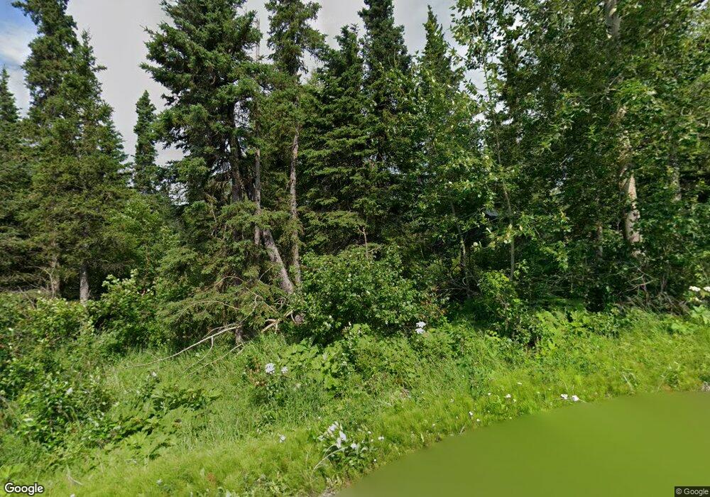
16600 Ransom Ridge Rd Anchorage, AK 99516
Rabbit Creek NeighborhoodEstimated Value: $570,000 - $924,783
4
Beds
4
Baths
2,840
Sq Ft
$263/Sq Ft
Est. Value
About This Home
This home is located at 16600 Ransom Ridge Rd, Anchorage, AK 99516 and is currently estimated at $745,928, approximately $262 per square foot. 16600 Ransom Ridge Rd is a home located in Anchorage Municipality with nearby schools including Bear Valley Elementary School, Goldenview Middle School, and South Anchorage High School.
Ownership History
Date
Name
Owned For
Owner Type
Purchase Details
Closed on
Dec 15, 2014
Sold by
Kutzer Bradley J and Ward Deborah M
Bought by
Ward Debra M and Kutzer Bradley J
Current Estimated Value
Home Financials for this Owner
Home Financials are based on the most recent Mortgage that was taken out on this home.
Original Mortgage
$191,536
Interest Rate
4%
Mortgage Type
New Conventional
Create a Home Valuation Report for This Property
The Home Valuation Report is an in-depth analysis detailing your home's value as well as a comparison with similar homes in the area
Home Values in the Area
Average Home Value in this Area
Purchase History
| Date | Buyer | Sale Price | Title Company |
|---|---|---|---|
| Ward Debra M | -- | None Available |
Source: Public Records
Mortgage History
| Date | Status | Borrower | Loan Amount |
|---|---|---|---|
| Closed | Ward Debra M | $191,536 |
Source: Public Records
Tax History Compared to Growth
Tax History
| Year | Tax Paid | Tax Assessment Tax Assessment Total Assessment is a certain percentage of the fair market value that is determined by local assessors to be the total taxable value of land and additions on the property. | Land | Improvement |
|---|---|---|---|---|
| 2025 | $9,777 | $870,700 | $224,500 | $646,200 |
| 2024 | $9,777 | $860,500 | $203,700 | $656,800 |
| 2023 | $12,258 | $768,500 | $186,000 | $582,500 |
| 2022 | $8,746 | $743,200 | $186,100 | $557,100 |
| 2021 | $12,355 | $715,400 | $186,100 | $529,300 |
| 2020 | $7,877 | $696,800 | $186,100 | $510,700 |
| 2019 | $7,773 | $699,900 | $186,100 | $513,800 |
| 2018 | $7,431 | $678,200 | $180,800 | $497,400 |
| 2017 | $9,804 | $663,300 | $172,900 | $490,400 |
| 2016 | $6,954 | $626,100 | $172,900 | $453,200 |
| 2015 | $6,954 | $523,300 | $168,900 | $354,400 |
| 2014 | $6,954 | $440,700 | $168,900 | $271,800 |
Source: Public Records
Map
Nearby Homes
- 000 Prominence Pointe Dr
- L4 Stoneridge Rd
- 16957 Bedford Chase Cir
- L2 B6 Prominence Pointe Dr
- 16612 Waterford Pointe Cir
- 17101 Belarde Ave
- 5801 Bluebell Dr
- 000 Manorwood Pointe Cir
- L9 Feodosia Dr
- L10 Feodosia Dr
- L9 & L10 Feodosia Dr
- 5020 Cape Seville Dr
- L3 B1 Sandpiper Dr
- 000 Essex Park Dr
- L4 Avalanche Cir
- L4 Blair View Cir
- Lot 13 Spruce Terraces Estates
- L12 Avalanche Cir
- L10 Avalanche Cir
- L24 Avalanche Cir
- 16450 Saint James Cir
- 16460 Saint James Cir
- 16440 Saint James Cir
- 16730 Stoneridge Rd
- 16646 Ransom Ridge Rd
- 16644 Woods Pointe Cir
- 16700 Woods Pointe Cir
- 16430 Saint James Cir
- 16700 Ransom Ridge Rd
- 16643 Woods Pointe Cir
- 16461 Saint James Cir
- 16461 Saint James Cir
- 16750 Woods Pointe Cir
- 16701 Ransom Ridge Rd
- 16604 Woods Pointe Cir
- L5 B1 Woods Pointe Cir
- L23 Woods Pointe Cir
- L6 B2 Woods Pointe Cir
- L6 Woods Pointe Cir
- 116855 Woods Pointe Cir
