1661 E McCredie Rd Roscommon, MI 48653
Estimated Value: $80,765 - $126,000
Studio
--
Bath
750
Sq Ft
$140/Sq Ft
Est. Value
About This Home
This home is located at 1661 E McCredie Rd, Roscommon, MI 48653 and is currently estimated at $105,191, approximately $140 per square foot. 1661 E McCredie Rd is a home with nearby schools including Roscommon Elementary School, Roscommon Middle School, and Roscommon High School.
Ownership History
Date
Name
Owned For
Owner Type
Purchase Details
Closed on
Jan 16, 2024
Sold by
Usitalo-Strobri Karen
Bought by
Strobridge Lionel William and Strobridge Karen M
Current Estimated Value
Purchase Details
Closed on
Oct 13, 2023
Sold by
Usitalo Gordon Usitalo Dennis
Bought by
Usitalo-Strobri Karen
Purchase Details
Closed on
Apr 24, 2014
Sold by
Dennis Dennis and Usitalo Robert
Bought by
Usitalo Dennis and Usitalo Gordon
Purchase Details
Closed on
Sep 7, 2005
Sold by
Usitalo Robert Survivor
Bought by
Usitalo R0bert and Usitalo Dennis
Purchase Details
Closed on
May 28, 2002
Sold by
Usitalo Robert and Usitalo Wf
Bought by
Usitalo, Robert & Elsie M Trust
Create a Home Valuation Report for This Property
The Home Valuation Report is an in-depth analysis detailing your home's value as well as a comparison with similar homes in the area
Home Values in the Area
Average Home Value in this Area
Purchase History
| Date | Buyer | Sale Price | Title Company |
|---|---|---|---|
| Strobridge Lionel William | -- | -- | |
| Usitalo-Strobri Karen | $79,200 | -- | |
| Usitalo Dennis | -- | -- | |
| Usitalo R0bert | -- | -- | |
| Usitalo, Robert & Elsie M Trust | -- | -- |
Source: Public Records
Tax History
| Year | Tax Paid | Tax Assessment Tax Assessment Total Assessment is a certain percentage of the fair market value that is determined by local assessors to be the total taxable value of land and additions on the property. | Land | Improvement |
|---|---|---|---|---|
| 2025 | $216 | $38,200 | $2,900 | $35,300 |
| 2024 | $211 | $37,700 | $2,900 | $34,800 |
| 2023 | $202 | $32,600 | $2,900 | $29,700 |
| 2022 | $192 | $27,400 | $2,900 | $24,500 |
| 2021 | $834 | $25,700 | $2,900 | $22,800 |
| 2020 | $706 | $19,800 | $2,900 | $16,900 |
| 2019 | $690 | $19,300 | $2,900 | $16,400 |
| 2018 | $679 | $14,900 | $2,900 | $12,000 |
| 2017 | $151 | $14,500 | $2,900 | $11,600 |
| 2016 | $150 | $13,400 | $2,900 | $10,500 |
| 2015 | -- | $13,400 | $0 | $0 |
| 2014 | -- | $13,600 | $0 | $0 |
| 2013 | -- | $12,600 | $0 | $0 |
Source: Public Records
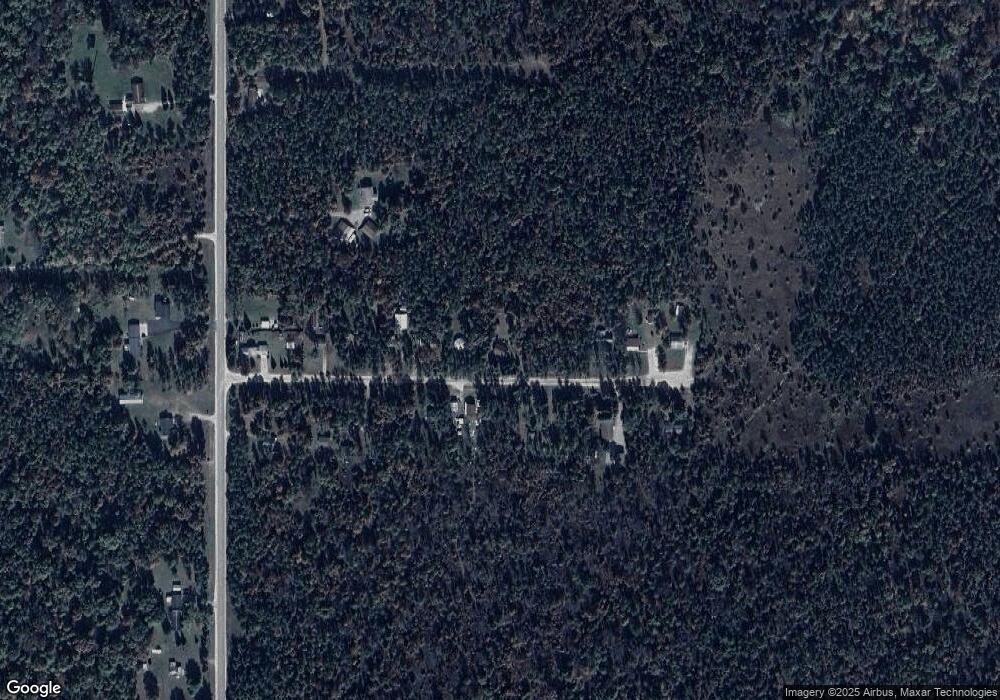
Map
Nearby Homes
- 11491 Pines Trail
- 38 S Eugene Dr
- 11282 Steckert Bridge Rd
- 11269 Tanglewood Dr
- Lots 26-27 W Roberta Dr
- LOT #42 E Roberta Dr
- 0 Beaver Creek Trail Unit 26373219
- Silverbow Ln
- Silverbow Ln
- Parcel 13 N M-18
- Parcel 14 N M-18
- 2948 E Michigan Hwy
- Apache Trail
- 11536 N Central Dr
- 1941 High Rd
- 206 N Main St
- 0 N Main St Unit 20251028047
- 10775 Pocahontas Trail
- 0VL Chase Bridge Rd
- 11875 Hoetzel Rd
- 1635 E McCredie Rd
- 1713 E McCredie Rd
- 1611 E McCredie Rd
- 1674 E McCredie Rd
- 1636 E McCredie Rd
- 11461 Pines Trail
- 1591 E McCredie Rd
- 1612 E McCredie Rd
- 1725 E McCredie Rd
- 1704 E McCredie Rd
- 1743 E McCredie Rd
- 1573 E McCredie Rd
- 1552 E McCredie Rd
- 1740 E McCredie Rd
- 1553 E McCredie Rd
- 1511 E McCredie Rd
- 11313 Pines Trail
- 11209 Pines Trail
- 11184 Pines Trail
- 11243 Pines Trail
Your Personal Tour Guide
Ask me questions while you tour the home.