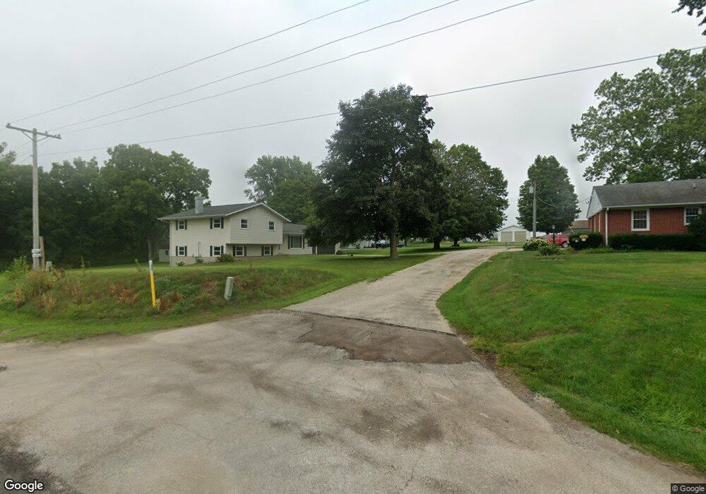
16620 Carroll Rd Morrison, IL 61270
Estimated Value: $185,000 - $246,000
Studio
--
Bath
--
Sq Ft
23,479
Sq Ft
About This Home
This home is located at 16620 Carroll Rd, Morrison, IL 61270 and is currently estimated at $215,935. 16620 Carroll Rd is a home located in Whiteside County with nearby schools including Northside School, Southside School, and Morrison Junior High School.
Ownership History
Date
Name
Owned For
Owner Type
Purchase Details
Closed on
Apr 28, 2021
Sold by
Riggen William H Est
Bought by
Nelson Seth E and Nelson Colleen M
Current Estimated Value
Home Financials for this Owner
Home Financials are based on the most recent Mortgage that was taken out on this home.
Original Mortgage
$140,000
Outstanding Balance
$126,677
Interest Rate
3%
Mortgage Type
Purchase Money Mortgage
Estimated Equity
$89,258
Create a Home Valuation Report for This Property
The Home Valuation Report is an in-depth analysis detailing your home's value as well as a comparison with similar homes in the area
Home Values in the Area
Average Home Value in this Area
Purchase History
| Date | Buyer | Sale Price | Title Company |
|---|---|---|---|
| Nelson Seth E | $150,000 | None Available |
Source: Public Records
Mortgage History
| Date | Status | Borrower | Loan Amount |
|---|---|---|---|
| Open | Nelson Seth E | $140,000 |
Source: Public Records
Tax History
| Year | Tax Paid | Tax Assessment Tax Assessment Total Assessment is a certain percentage of the fair market value that is determined by local assessors to be the total taxable value of land and additions on the property. | Land | Improvement |
|---|---|---|---|---|
| 2024 | $3,990 | $60,875 | $2,782 | $58,093 |
| 2023 | $3,684 | $55,422 | $2,533 | $52,889 |
| 2022 | $3,442 | $51,469 | $2,352 | $49,117 |
| 2021 | $3,815 | $50,400 | $2,303 | $48,097 |
| 2020 | $2,118 | $51,356 | $2,347 | $49,009 |
| 2019 | $2,382 | $54,877 | $4,133 | $50,744 |
| 2018 | $2,463 | $54,631 | $4,114 | $50,517 |
| 2017 | $2,960 | $48,345 | $3,952 | $44,393 |
| 2016 | $2,175 | $38,491 | $3,812 | $34,679 |
| 2015 | $2,316 | $39,430 | $3,905 | $35,525 |
| 2014 | $2,279 | $38,985 | $3,861 | $35,124 |
| 2013 | $2,316 | $39,430 | $3,905 | $35,525 |
Source: Public Records
Map
Nearby Homes
- 13629 Garden Plain Rd
- 604 Hillandale Ct
- 620 Hillandale Dr
- 624 W Lincolnway
- 12719 Garden Plain Rd
- 617 W Lincolnway
- 814 W Park St
- 701 W Wall St
- Lot 17 Masters Dr
- Lot 19 Masters Dr
- Lot 18 Masters Dr
- Lot 20 Masters Dr
- Lot 21 Masters Dr
- 306 S Heaton St
- 402 W Lincolnway
- 0 Garden Plain Rd Unit NOC6335284
- 411 W Park St
- 105 E Knox St
- 208 Johnson St
- 308 S Genesee St
- 16620 Carroll Rd
- 16624 Carroll Rd
- 16614 Carroll Rd
- 16610 Carroll Rd
- 16633 Carroll Rd
- 16675 Carroll Rd Unit 6A
- 16709 Carroll Rd
- 13400 Lincoln Rd
- 16641 Carroll Rd
- 13350 Lincoln Rd
- 13306 Lincoln Rd
- 16859 Carroll Rd
- 16671 Norton Rd
- 13405 Lincoln Rd
- 13571 Lincoln Rd
- 16580 Norton Rd
- 13639 Lincoln Rd
- 13680 Lincoln Rd
- 16677 Norton Rd
- 16955 Carroll Rd
Your Personal Tour Guide
Ask me questions while you tour the home.