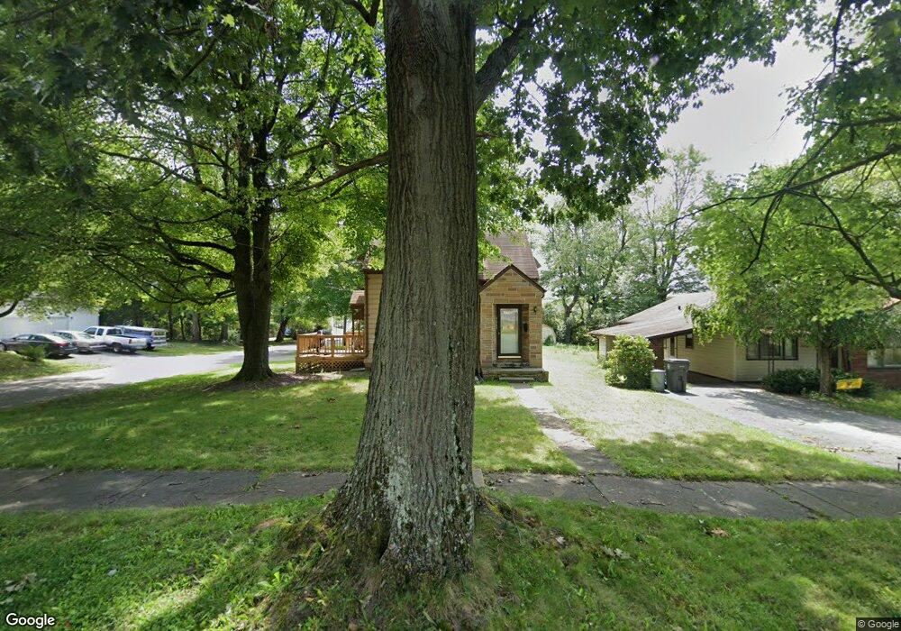
1663 S Heights Ave Youngstown, OH 44502
Buckeye Plat NeighborhoodEstimated Value: $57,000 - $64,000
2
Beds
1
Bath
751
Sq Ft
$82/Sq Ft
Est. Value
About This Home
This home is located at 1663 S Heights Ave, Youngstown, OH 44502 and is currently estimated at $61,734, approximately $82 per square foot. 1663 S Heights Ave is a home located in Mahoning County with nearby schools including Paul C. Bunn Elementary School, Chaney High School, and Summit Academy Secondary School - Youngstown.
Ownership History
Date
Name
Owned For
Owner Type
Purchase Details
Closed on
Dec 14, 2022
Sold by
Roth Scott E
Bought by
Properties By Roth Llc
Current Estimated Value
Purchase Details
Closed on
Oct 2, 2020
Sold by
Smith Michael P
Bought by
Roth Scott E
Purchase Details
Closed on
Jan 18, 1991
Bought by
Smith Michael P
Create a Home Valuation Report for This Property
The Home Valuation Report is an in-depth analysis detailing your home's value as well as a comparison with similar homes in the area
Home Values in the Area
Average Home Value in this Area
Purchase History
| Date | Buyer | Sale Price | Title Company |
|---|---|---|---|
| Properties By Roth Llc | -- | None Listed On Document | |
| Properties By Roth Llc | -- | None Listed On Document | |
| Roth Scott E | $20,000 | None Available | |
| Smith Michael P | $21,500 | -- |
Source: Public Records
Tax History
| Year | Tax Paid | Tax Assessment Tax Assessment Total Assessment is a certain percentage of the fair market value that is determined by local assessors to be the total taxable value of land and additions on the property. | Land | Improvement |
|---|---|---|---|---|
| 2025 | $408 | $9,440 | $1,070 | $8,370 |
| 2024 | $463 | $9,440 | $1,070 | $8,370 |
| 2023 | $460 | $9,440 | $1,070 | $8,370 |
| 2022 | $572 | $8,620 | $1,070 | $7,550 |
| 2021 | $545 | $8,620 | $1,070 | $7,550 |
| 2020 | $534 | $8,620 | $1,070 | $7,550 |
| 2019 | $542 | $7,830 | $970 | $6,860 |
| 2018 | $548 | $7,830 | $970 | $6,860 |
| 2017 | $583 | $7,830 | $970 | $6,860 |
| 2016 | $622 | $9,630 | $970 | $8,660 |
| 2015 | $640 | $9,630 | $970 | $8,660 |
| 2014 | $605 | $9,630 | $970 | $8,660 |
| 2013 | $596 | $9,630 | $970 | $8,660 |
Source: Public Records
Map
Nearby Homes
- 0 Weston Ave
- 1925 Weston Ave
- 2003 E Midlothian Blvd
- 1970 Weston Ave
- 1562 Medford Ave
- 1609 Medford Ave
- 3629 Irma St
- 2016 Pointview Ave
- 1923 Medford Ave
- 2025 Pointview Ave
- 1549 Medford Ave
- 3551 Shirley Rd
- 3621 Neilson Ave
- 1661 Wakefield Ave
- 1633 Wakefield Ave
- 3803 Loveland Rd
- 1579 Wakefield Ave
- 2001 Brownlee Ave
- 1321 Detroit Ave
- 1351 Ivanhoe Ave
- 1659 S Heights Ave
- 1703 S Heights Ave
- 1655 S Heights Ave
- 1660 E Midlothian Blvd
- 1652 E Midlothian Blvd
- 1704 E Midlothian Blvd
- 1713 S Heights Ave
- 1658 S Heights Ave
- 1708 E Midlothian Blvd
- 1637 S Heights Ave
- 1654 S Heights Ave
- 1710 S Heights Ave
- 1646 S Heights Ave
- 1719 S Heights Ave
- 1714 E Midlothian Blvd
- 1714 S Heights Ave
- 1635 S Heights Ave
- 1718 E Midlothian Blvd
- 1658 E Midlothian Blvd
- 1725 S Heights Ave
Your Personal Tour Guide
Ask me questions while you tour the home.