Estimated Value: $568,134 - $783,000
2
Beds
2
Baths
1,739
Sq Ft
$391/Sq Ft
Est. Value
About This Home
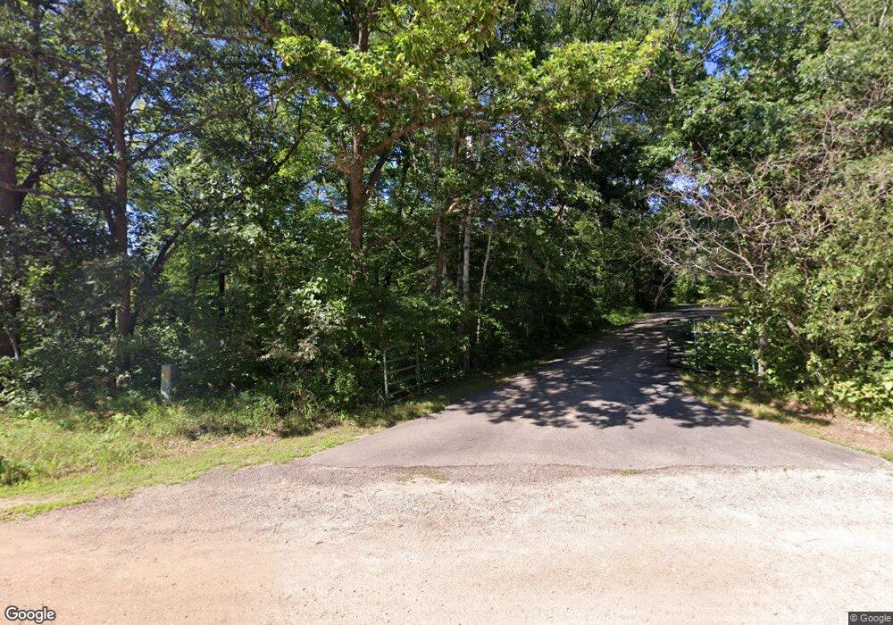
This home is located at 16634 Crown Point Rd, Nevis, MN 56467 and is currently estimated at $680,284, approximately $391 per square foot. 16634 Crown Point Rd is a home located in Hubbard County with nearby schools including Nevis Elementary School, Nevis Area Learning Program, and Nevis Secondary School.
Ownership History
Date
Name
Owned For
Owner Type
Purchase Details
Closed on
Jul 29, 2005
Sold by
Plumley John F and Plumley Donna R
Bought by
Warner James L and Warner Helen M
Current Estimated Value
Home Financials for this Owner
Home Financials are based on the most recent Mortgage that was taken out on this home.
Original Mortgage
$150,000
Outstanding Balance
$79,202
Interest Rate
5.74%
Mortgage Type
New Conventional
Estimated Equity
$601,082
Create a Home Valuation Report for This Property
The Home Valuation Report is an in-depth analysis detailing your home's value as well as a comparison with similar homes in the area
Home Values in the Area
Average Home Value in this Area
Purchase History
| Date | Buyer | Sale Price | Title Company |
|---|---|---|---|
| Warner James L | $377,500 | None Available |
Source: Public Records
Mortgage History
| Date | Status | Borrower | Loan Amount |
|---|---|---|---|
| Open | Warner James L | $150,000 |
Source: Public Records
Tax History Compared to Growth
Tax History
| Year | Tax Paid | Tax Assessment Tax Assessment Total Assessment is a certain percentage of the fair market value that is determined by local assessors to be the total taxable value of land and additions on the property. | Land | Improvement |
|---|---|---|---|---|
| 2024 | $3,256 | $484,300 | $171,500 | $312,800 |
| 2023 | $3,062 | $458,400 | $141,000 | $317,400 |
| 2022 | $2,852 | $424,800 | $138,200 | $286,600 |
| 2021 | $2,884 | $336,900 | $116,000 | $220,900 |
| 2020 | $2,962 | $324,900 | $113,299 | $211,601 |
| 2019 | $3,144 | $326,000 | $113,339 | $212,661 |
| 2018 | $3,128 | $322,000 | $135,014 | $186,986 |
| 2016 | $2,892 | $323,800 | $134,974 | $188,826 |
| 2015 | $2,706 | $323,800 | $139,110 | $184,690 |
| 2014 | $2,938 | $363,900 | $188,813 | $175,087 |
Source: Public Records
Map
Nearby Homes
- 21701 Crane Ln
- TBD4 Destination Dr
- TBD Elm Trail
- 24106 Elderberry Cir
- Tbd Evergreen
- 14701 Chokecherry Dr
- 14788 Coyote Dr
- 19026 Emerald Shores Dr
- 14449 209th Ave
- 19776 Edelweiss Dr
- 19059 County 13
- 13314 Blackberry Dr
- 14939 County 11
- 19998 Ember Loop
- TBD State Hwy 87
- 20248 Fairwood Dr
- 20377 219th Ave
- 26110 Elk Haven Dr
- 24519 Fairwood Ln
- 17447 County 20
- 16824 Crown Point Rd
- 16817 Crown Point Rd
- 16897 Crown Point Rd
- 22725 170th St
- 22529 Daisy Rd
- 22491 Daisy Rd
- 22404 Daisy Rd
- 22344 Daisy Rd
- 22287 170th St
- 23159 174th St
- 22316 Daisy Rd
- 16266 223rd Ave
- 22280 Daisy Rd
- 16358 223rd St
- 15787 County 13
- 16063 County 13
- 23493 174th St
- 23609 174th St
- TBD 174th St
- tbd 000 Daylight Dr
