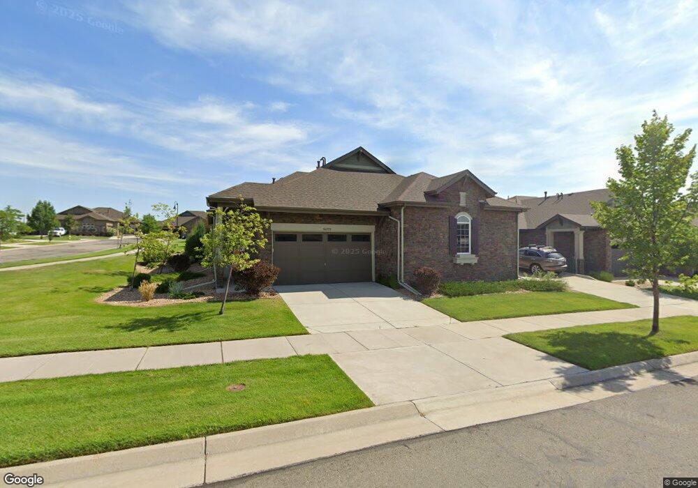
16635 W 85th Ln Unit B Arvada, CO 80003
Leyden Rock NeighborhoodEstimated Value: $703,000 - $801,000
3
Beds
3
Baths
2,892
Sq Ft
$260/Sq Ft
Est. Value
About This Home
This home is located at 16635 W 85th Ln Unit B, Arvada, CO 80003 and is currently estimated at $750,571, approximately $259 per square foot. 16635 W 85th Ln Unit B is a home located in Jefferson County with nearby schools including Meiklejohn Elementary School, Wayne Carle Middle School, and Ralston Valley Senior High School.
Ownership History
Date
Name
Owned For
Owner Type
Purchase Details
Closed on
Nov 10, 2022
Sold by
Mills Robert Holmes
Bought by
Boyd Margaret
Current Estimated Value
Purchase Details
Closed on
Nov 1, 2022
Sold by
Boyd Margaret
Bought by
Boyd Margaret and Boyd Kevin Patrick
Purchase Details
Closed on
Jun 8, 2021
Sold by
Otoole Kevin P and Otoole Suzette Michelle
Bought by
Boyd Margaret and Mills Robert Holmes
Home Financials for this Owner
Home Financials are based on the most recent Mortgage that was taken out on this home.
Original Mortgage
$520,000
Interest Rate
2.9%
Mortgage Type
New Conventional
Purchase Details
Closed on
Jun 6, 2018
Sold by
Howard Sharon S
Bought by
Toole Kevhi P O and Toole Suzette Michelle O
Purchase Details
Closed on
Dec 16, 2016
Sold by
Calatlantic Group Inc
Bought by
Howard Sharon J
Home Financials for this Owner
Home Financials are based on the most recent Mortgage that was taken out on this home.
Original Mortgage
$103,000
Interest Rate
4.08%
Mortgage Type
New Conventional
Create a Home Valuation Report for This Property
The Home Valuation Report is an in-depth analysis detailing your home's value as well as a comparison with similar homes in the area
Home Values in the Area
Average Home Value in this Area
Purchase History
| Date | Buyer | Sale Price | Title Company |
|---|---|---|---|
| Boyd Margaret | -- | -- | |
| Boyd Margaret | -- | -- | |
| Boyd Margaret | $650,000 | Homestead Title & Escrow | |
| Toole Kevhi P O | $465,000 | Homestead Title & Escrow | |
| Howard Sharon J | $386,984 | Calatlantic Title Inc |
Source: Public Records
Mortgage History
| Date | Status | Borrower | Loan Amount |
|---|---|---|---|
| Previous Owner | Boyd Margaret | $520,000 | |
| Previous Owner | Howard Sharon J | $103,000 |
Source: Public Records
Tax History
| Year | Tax Paid | Tax Assessment Tax Assessment Total Assessment is a certain percentage of the fair market value that is determined by local assessors to be the total taxable value of land and additions on the property. | Land | Improvement |
|---|---|---|---|---|
| 2024 | $6,462 | $42,938 | $7,674 | $35,264 |
| 2023 | $6,462 | $42,938 | $7,674 | $35,264 |
| 2022 | $5,281 | $33,023 | $6,502 | $26,521 |
| 2021 | $5,394 | $33,973 | $6,689 | $27,284 |
| 2020 | $5,332 | $33,973 | $8,629 | $25,344 |
| 2019 | $5,288 | $33,973 | $8,629 | $25,344 |
| 2018 | $4,543 | $28,758 | $8,835 | $19,923 |
| 2017 | $4,304 | $28,758 | $8,835 | $19,923 |
| 2016 | $3,148 | $23,096 | $23,096 | $0 |
| 2015 | $3,453 | $23,096 | $23,096 | $0 |
| 2014 | $395 | $2,572 | $2,572 | $0 |
Source: Public Records
Map
Nearby Homes
- 16530 W 86th Place Unit B
- 16445 W 85th Ln Unit A
- 16767 W 86th Ave
- 8536 Rogers Loop
- 16339 W 84th Dr
- 16908 W 86th Ave
- 16315 W 84th Ln
- 16948 W 86th Ave
- 16995 W 85th Ln
- 17097 W 87th Ave
- 16210 W 84th Dr
- 8169 Quaker St
- 8345 Violet Ct
- 15818 W 83rd Ave
- 17144 W 91st Ln
- 17114 W 91st Ln
- 17117 W 91st Ln
- 17122 W 91st Ln
- 17152 W 91st Ln
- 17142 W 91st Ln
- 16635 W 85th Ln
- 16635 W 85th Ln Unit A
- 16605 W 85th Ln
- 16605 W 85th Ln Unit B
- 16605 W 85th Ln Unit A
- 16620 W 86th Place Unit B
- 16590 W 86th Place Unit A
- 16590 W 86th Place Unit B
- 16575 W 85th Ln Unit A
- 16575 W 85th Ln Unit B
- 16626 W 85th Ln Unit B
- 16626 W 85th Ln
- 16596 W 85th Ln Unit A
- 16596 W 85th Ln Unit B
- 16560 W 86th Place Unit B
- 16560 W 86th Place Unit A
- 8635 Rogers Way Unit A
- 8645 Rogers Way Unit A
- 8624 Rogers Way Unit B
- 8624 Rogers Way Unit A
Your Personal Tour Guide
Ask me questions while you tour the home.