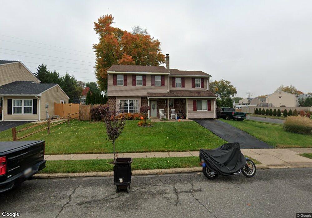
1664 Point Dr Bensalem, PA 19020
Neshaminy Valley NeighborhoodEstimated Value: $462,000 - $492,000
4
Beds
3
Baths
1,874
Sq Ft
$256/Sq Ft
Est. Value
About This Home
This home is located at 1664 Point Dr, Bensalem, PA 19020 and is currently estimated at $479,573, approximately $255 per square foot. 1664 Point Dr is a home located in Bucks County with nearby schools including Valley Elementary School, St. Ephrem School, and Bensalem Baptist School.
Ownership History
Date
Name
Owned For
Owner Type
Purchase Details
Closed on
Nov 22, 1996
Sold by
Mcdonald Charles and Mcdonald Berneda
Bought by
Mcdonald Richard J
Current Estimated Value
Home Financials for this Owner
Home Financials are based on the most recent Mortgage that was taken out on this home.
Original Mortgage
$114,750
Outstanding Balance
$11,040
Interest Rate
7.82%
Estimated Equity
$468,533
Purchase Details
Closed on
Jul 25, 1995
Sold by
Gibat Berneda and Mcdonald Berneda
Bought by
Mcdonald Berneda and Mcdonald Richard J
Home Financials for this Owner
Home Financials are based on the most recent Mortgage that was taken out on this home.
Original Mortgage
$85,000
Interest Rate
11.25%
Create a Home Valuation Report for This Property
The Home Valuation Report is an in-depth analysis detailing your home's value as well as a comparison with similar homes in the area
Home Values in the Area
Average Home Value in this Area
Purchase History
| Date | Buyer | Sale Price | Title Company |
|---|---|---|---|
| Mcdonald Richard J | -- | -- | |
| Mcdonald Berneda | -- | -- |
Source: Public Records
Mortgage History
| Date | Status | Borrower | Loan Amount |
|---|---|---|---|
| Open | Mcdonald Richard J | $114,750 | |
| Closed | Mcdonald Berneda | $85,000 |
Source: Public Records
Tax History Compared to Growth
Tax History
| Year | Tax Paid | Tax Assessment Tax Assessment Total Assessment is a certain percentage of the fair market value that is determined by local assessors to be the total taxable value of land and additions on the property. | Land | Improvement |
|---|---|---|---|---|
| 2025 | $5,353 | $24,520 | $5,920 | $18,600 |
| 2024 | $5,353 | $24,520 | $5,920 | $18,600 |
| 2023 | $5,202 | $24,520 | $5,920 | $18,600 |
| 2022 | $5,171 | $24,520 | $5,920 | $18,600 |
| 2021 | $5,171 | $24,520 | $5,920 | $18,600 |
| 2020 | $5,119 | $24,520 | $5,920 | $18,600 |
| 2019 | $5,005 | $24,520 | $5,920 | $18,600 |
| 2018 | $4,889 | $24,520 | $5,920 | $18,600 |
| 2017 | $4,858 | $24,520 | $5,920 | $18,600 |
| 2016 | $4,858 | $24,520 | $5,920 | $18,600 |
| 2015 | -- | $24,520 | $5,920 | $18,600 |
| 2014 | -- | $24,520 | $5,920 | $18,600 |
Source: Public Records
Map
Nearby Homes
- 5813 Edge Ave
- 5817 Cricket Ln
- 1838 Sheri Rd
- 1407 Cornflower Ln
- 1734 Gibson Rd Unit 1
- 6124 Clearview Ave
- 6130 Clearview Ave
- 1790 Gibson Rd Unit 69
- 1852 Gibson Rd Unit 58
- 2493 Barnsleigh Dr
- 1446 Gibson Rd Unit D50
- 1446 Gibson Rd Unit B4
- 1446 Gibson Rd
- 66 Freedom Ln Unit 66
- 2548 Nashua Rd
- 3200 Ellington Ct
- 5111 Euston Ct
- 120 Liberty Dr Unit 120
- 301 Main St
- 524 Washington Ave