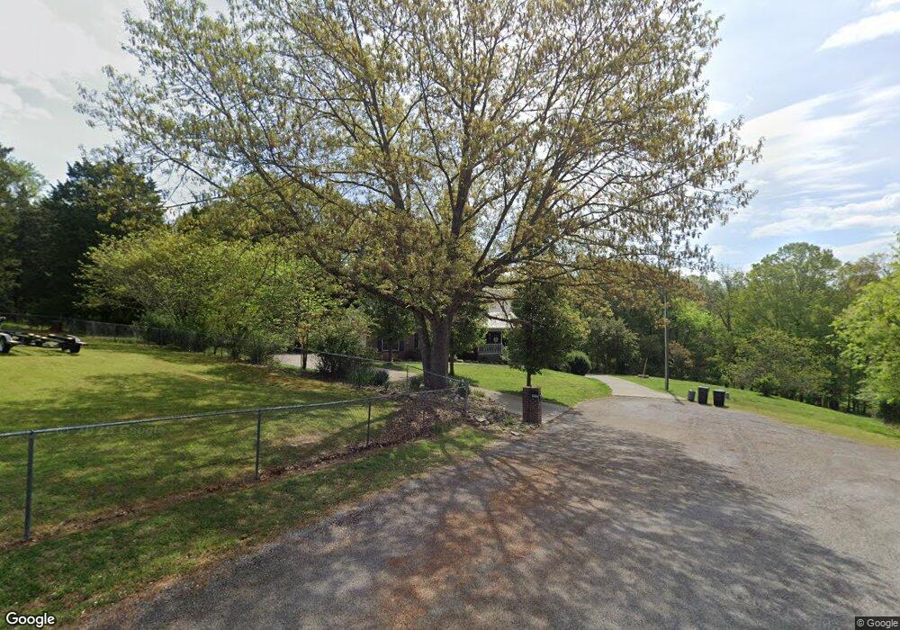
1664 Rita Cir Talbott, TN 37877
Estimated Value: $378,868 - $878,000
Studio
2
Baths
3,351
Sq Ft
$161/Sq Ft
Est. Value
About This Home
This home is located at 1664 Rita Cir, Talbott, TN 37877 and is currently estimated at $540,467, approximately $161 per square foot. 1664 Rita Cir is a home located in Hamblen County with nearby schools including Alpha Elementary School, West View Middle School, and Morristown West High School.
Ownership History
Date
Name
Owned For
Owner Type
Purchase Details
Closed on
Mar 10, 1998
Sold by
Hurst Hilda L and Hurst E
Bought by
Fields Harry
Current Estimated Value
Purchase Details
Closed on
Dec 10, 1993
Bought by
Noren Robert and Noren Ruth M
Purchase Details
Closed on
Jul 29, 1991
Bought by
Brooks Jody L and Brooks Stephanie
Purchase Details
Closed on
May 31, 1984
Bought by
Pless Pless and Pless Nichols
Purchase Details
Closed on
Oct 28, 1982
Purchase Details
Closed on
Oct 8, 1981
Purchase Details
Closed on
Nov 3, 1980
Bought by
Mcguffin Pless Roberts and Mcguffin Nichols
Create a Home Valuation Report for This Property
The Home Valuation Report is an in-depth analysis detailing your home's value as well as a comparison with similar homes in the area
Purchase History
| Date | Buyer | Sale Price | Title Company |
|---|---|---|---|
| Fields Harry | $15,000 | -- | |
| Noren Robert | $5,000 | -- | |
| Brooks Jody L | $4,800 | -- | |
| Pless Pless | -- | -- | |
| -- | -- | -- | |
| -- | -- | -- | |
| Mcguffin Pless Roberts | -- | -- |
Source: Public Records
Tax History
| Year | Tax Paid | Tax Assessment Tax Assessment Total Assessment is a certain percentage of the fair market value that is determined by local assessors to be the total taxable value of land and additions on the property. | Land | Improvement |
|---|---|---|---|---|
| 2025 | $1,428 | $97,125 | $10,250 | $86,875 |
| 2024 | $1,188 | $60,325 | $7,375 | $52,950 |
| 2023 | $1,188 | $60,325 | $0 | $0 |
| 2022 | $1,188 | $60,325 | $7,375 | $52,950 |
| 2021 | $1,188 | $60,325 | $7,375 | $52,950 |
| 2020 | $1,188 | $60,325 | $7,375 | $52,950 |
| 2019 | $1,061 | $49,800 | $8,125 | $41,675 |
| 2018 | $1,061 | $49,800 | $8,125 | $41,675 |
| 2017 | $1,061 | $49,800 | $8,125 | $41,675 |
| 2016 | $991 | $49,800 | $8,125 | $41,675 |
| 2015 | $921 | $49,800 | $8,125 | $41,675 |
| 2014 | -- | $49,800 | $8,125 | $41,675 |
| 2013 | -- | $57,325 | $0 | $0 |
Source: Public Records
Map
Nearby Homes
- 7713 Melanie Cir
- tbd Lebanon Church Rd
- 1437 Beacon Rd
- 2107 Windy Cove Ln
- 8070 W Pointe Dr
- Lot 135 W Point Dr
- 7346 Circle Point Dr
- 1256 Pratt Rd
- 634 Heather Brook Cir
- 487 Heather Brook Dr
- 2151 Frank Hodge Rd
- 1167 Cherry Blossom Ln
- 595 Ricky Dr
- 254 Alberts Cove
- 2559 Dogwood Ln
- 1065 Briar Ct
- 693 Whippoorwill Dr
- 120 Settlers Ln
- 1050 Briar Ct
- 211 Sequoyah Trail
- 1674 Wilderness Dr
- 1661 Rita Cir
- 1663 Rines Rd
- 1675 Rines Rd
- 1615 Rines Rd
- LOT 6 Wilderness Dr
- 1648 Wilderness Dr
- 1637 Wilderness Dr
- 1658 Rines Rd
- 1621 Wilderness Dr
- 1708 Wilderness Dr
- 1610 Wilderness Dr
- 1587 Rines Rd
- 1615 Wilderness Dr
- 1740 Pointe Dr Dr
- 1740 Pointe Dr
- 7900 Lebanon Church Rd
- 1606 Wilderness Dr
- 1780 Honeysuckle Ln
- 1789 Pointe Dr
Your Personal Tour Guide
Ask me questions while you tour the home.