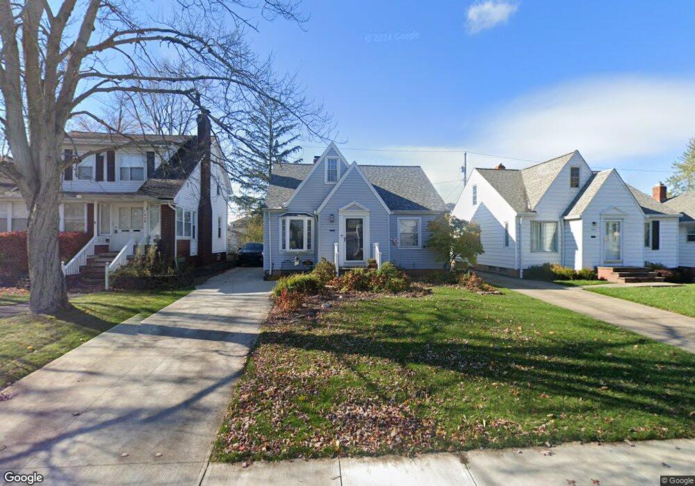
1664 Woodrow Ave Cleveland, OH 44124
Estimated Value: $203,000 - $247,000
3
Beds
2
Baths
1,410
Sq Ft
$156/Sq Ft
Est. Value
About This Home
This home is located at 1664 Woodrow Ave, Cleveland, OH 44124 and is currently estimated at $219,937, approximately $155 per square foot. 1664 Woodrow Ave is a home located in Cuyahoga County with nearby schools including Mayfield High School, Corpus Christi Academy, and Gilmour Academy.
Ownership History
Date
Name
Owned For
Owner Type
Purchase Details
Closed on
May 22, 2025
Sold by
Scotese Vito N and Scotese Jacqueline C
Bought by
Scotese Family Trust and Scotese
Current Estimated Value
Purchase Details
Closed on
Aug 11, 1986
Sold by
Scotese Vito N
Bought by
Scotese Vito N
Purchase Details
Closed on
Feb 26, 1985
Sold by
Vito Scotese
Bought by
Scotese Eleanor A
Purchase Details
Closed on
Aug 22, 1979
Sold by
Scotese Vito
Bought by
Vito Scotese
Purchase Details
Closed on
Nov 12, 1975
Sold by
Scotese Vito C
Bought by
Scotese Vito
Purchase Details
Closed on
Jan 1, 1975
Bought by
Scotese Vito C
Create a Home Valuation Report for This Property
The Home Valuation Report is an in-depth analysis detailing your home's value as well as a comparison with similar homes in the area
Home Values in the Area
Average Home Value in this Area
Purchase History
| Date | Buyer | Sale Price | Title Company |
|---|---|---|---|
| Scotese Family Trust | -- | None Listed On Document | |
| Scotese Vito N | $225,000 | -- | |
| Scotese Vito N | $22,500 | -- | |
| Scotese Eleanor A | -- | -- | |
| Vito Scotese | -- | -- | |
| Scotese Vito | $3,500 | -- | |
| Scotese Vito C | -- | -- |
Source: Public Records
Tax History Compared to Growth
Tax History
| Year | Tax Paid | Tax Assessment Tax Assessment Total Assessment is a certain percentage of the fair market value that is determined by local assessors to be the total taxable value of land and additions on the property. | Land | Improvement |
|---|---|---|---|---|
| 2024 | $3,873 | $59,430 | $10,710 | $48,720 |
| 2023 | $3,594 | $50,550 | $9,910 | $40,640 |
| 2022 | $3,672 | $50,540 | $9,910 | $40,640 |
| 2021 | $3,633 | $50,540 | $9,910 | $40,640 |
| 2020 | $3,387 | $43,190 | $8,470 | $34,720 |
| 2019 | $3,281 | $123,400 | $24,200 | $99,200 |
| 2018 | $3,129 | $43,190 | $8,470 | $34,720 |
| 2017 | $3,292 | $40,780 | $9,240 | $31,540 |
| 2016 | $3,267 | $40,780 | $9,240 | $31,540 |
| 2015 | $2,960 | $40,780 | $9,240 | $31,540 |
| 2014 | $2,960 | $39,980 | $9,070 | $30,910 |
Source: Public Records
Map
Nearby Homes
- 1604 Fruitland Ave
- 1593 Woodhurst Ave
- 210 Teal Trace Unit 210
- 1542 Woodhurst Ave
- 1520 Fruitland Ave
- 200 Fox Hollow Dr Unit 100
- 200 Fox Hollow Dr Unit 104
- 180 Fox Hollow Dr Unit 105
- 220 Fox Hollow Dr Unit 308
- 140 Fox Hollow Dr Unit 201A
- 6132 Westerham Rd
- 1572 Crestwood Rd
- 6344 Woodhawk Dr
- 1402 Golden Gate Blvd Unit G102
- 1400 Orchard Heights Dr
- 1637 Lander Rd
- 1575 Lander Rd
- 6419 Longridge Rd
- 6464 Woodhawk Dr
- 0 Maplewood Rd
- 1660 Woodrow Ave
- 1668 Woodrow Ave
- 1656 Woodrow Ave
- 1652 Woodrow Ave
- 1674 Woodrow Ave
- 1667 Fruitland Ave
- 1663 Fruitland Ave
- 1671 Fruitland Ave
- 1646 Woodrow Ave
- 1675 Fruitland Ave
- 1659 Fruitland Ave
- 1665 Woodrow Ave
- 1669 Woodrow Ave
- 1655 Fruitland Ave
- 1655 Woodrow Ave
- 1651 Fruitland Ave
- 1638 Woodrow Ave
- 1647 Fruitland Ave
- 1647 Woodrow Ave
- 1641 Fruitland Ave