G
Seller's Agent in 2016
Gary Tingey
Alpine Real Estate


Estimated Value: $94,142
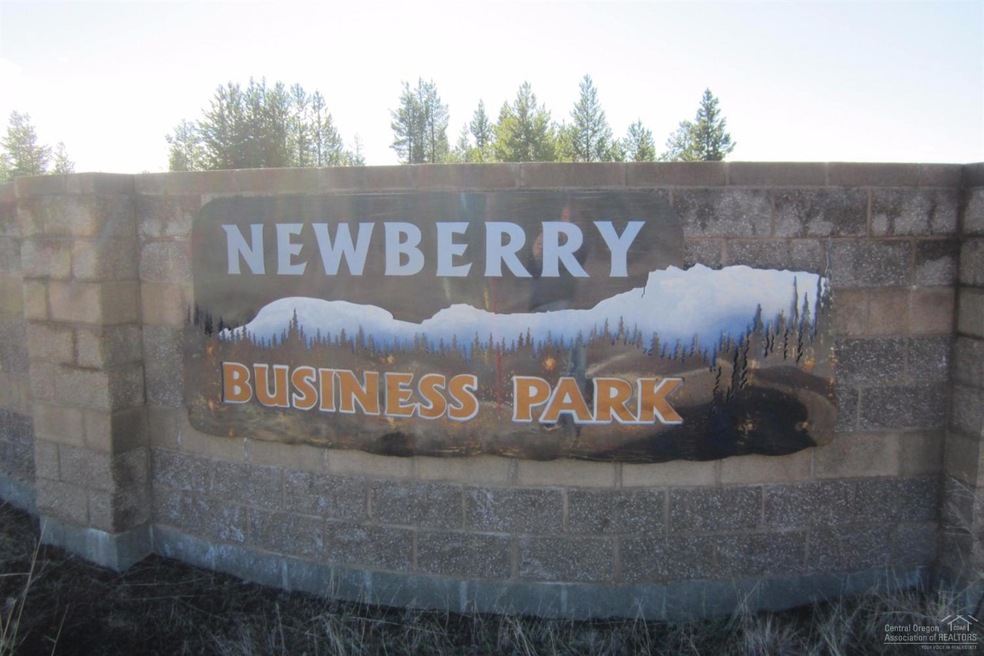
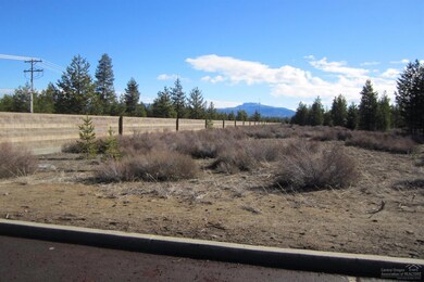
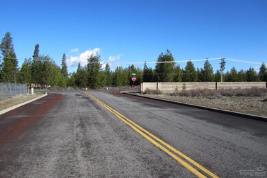
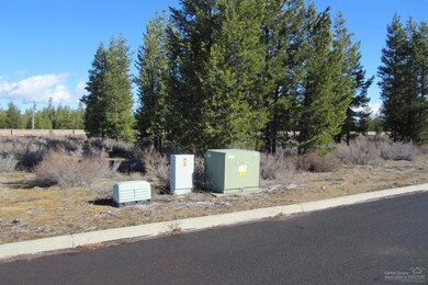
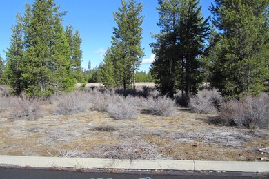
Shovel ready ground in the heart of La Pine's premier Newberry Industrial Park. City services are at the street and ready to go.
Last Agent to Sell the Property
Gary Tingey
Alpine Real Estate License #200802192 Listed on: 03/07/2016
Last Buyer's Agent
Gary Tingey
Alpine Real Estate License #200802192 Listed on: 03/07/2016
| Date | Buyer | Sale Price | Title Company |
|---|---|---|---|
| Bdn Enterprises Llc | $45,500 | Amerititle | |
| Harder Earl | -- | Accommodation | |
| Harder Frances F | $31,125 | Accommodation | |
| Harder Frances F | $43,000 | Western Title & Escrow Co |
| Date | Event | Price | List to Sale | Price per Sq Ft |
|---|---|---|---|---|
| 06/10/2016 06/10/16 | Sold | $45,500 | -6.2% | -- |
| 05/17/2016 05/17/16 | Pending | -- | -- | -- |
| 03/07/2016 03/07/16 | For Sale | $48,500 | -- | -- |
| Year | Tax Paid | Tax Assessment Tax Assessment Total Assessment is a certain percentage of the fair market value that is determined by local assessors to be the total taxable value of land and additions on the property. | Land | Improvement |
|---|---|---|---|---|
| 2025 | $652 | $42,060 | $42,060 | -- |
| 2024 | $625 | $40,840 | $40,840 | -- |
| 2023 | $612 | $39,660 | $39,660 | $0 |
| 2022 | $566 | $37,390 | $0 | $0 |
| 2021 | $569 | $36,310 | $0 | $0 |
| 2020 | $539 | $36,310 | $0 | $0 |
| 2019 | $525 | $35,260 | $0 | $0 |
| 2018 | $510 | $34,240 | $0 | $0 |
| 2017 | $497 | $33,250 | $0 | $0 |
| 2016 | $467 | $32,290 | $0 | $0 |
| 2015 | $417 | $29,230 | $0 | $0 |
| 2014 | $380 | $26,570 | $0 | $0 |
G
Seller's Agent in 2016
Gary Tingey
Alpine Real Estate
Source: Oregon Datashare
MLS Number: 201601821
APN: 205411
Disclaimer: Certain information contained herein is derived from information provided by parties other than Homes.com. All information provided is deemed reliable, but is not guaranteed to be accurate and should be independently verified.
![]() © 2026 Oregon Datashare (KCAR | MLSCO | SOMLS). All rights reserved. The data relating to real estate for sale on this web site comes in part from the Internet Data Exchange Program of the Oregon Datashare. Real estate listings held by IDX Brokerage firms other than Ten-X are marked with the Internet Data Exchange logo or the Internet Data Exchange thumbnail logo and detailed information about them includes the name of the listing Brokers. Information provided is for consumers' personal, non-commercial use and may not be used for any purpose other than to identify prospective properties the viewer may be interested in purchasing. The consumer will not copy, retransmit nor redistribute any of the content from this website. Information provided is deemed reliable, but not guaranteed.
© 2026 Oregon Datashare (KCAR | MLSCO | SOMLS). All rights reserved. The data relating to real estate for sale on this web site comes in part from the Internet Data Exchange Program of the Oregon Datashare. Real estate listings held by IDX Brokerage firms other than Ten-X are marked with the Internet Data Exchange logo or the Internet Data Exchange thumbnail logo and detailed information about them includes the name of the listing Brokers. Information provided is for consumers' personal, non-commercial use and may not be used for any purpose other than to identify prospective properties the viewer may be interested in purchasing. The consumer will not copy, retransmit nor redistribute any of the content from this website. Information provided is deemed reliable, but not guaranteed.
Ask me questions while you tour the home.