16649 10 Mile Rd Battle Creek, MI 49014
Estimated Value: $243,000 - $291,000
3
Beds
2
Baths
1,773
Sq Ft
$148/Sq Ft
Est. Value
About This Home
This home is located at 16649 10 Mile Rd, Battle Creek, MI 49014 and is currently estimated at $261,735, approximately $147 per square foot. 16649 10 Mile Rd is a home located in Calhoun County with nearby schools including Harper Creek Middle School, Harper Creek High School, and Battle Creek Christian School.
Ownership History
Date
Name
Owned For
Owner Type
Purchase Details
Closed on
Apr 1, 2011
Sold by
Owens Berry and Owens Cecelia E
Bought by
Owens Cecelia E
Current Estimated Value
Purchase Details
Closed on
Sep 30, 2009
Sold by
Owens Cecelia E and Taggart Cecelia E Dowdy
Bought by
Owens Cecelia E and Owens Berry
Home Financials for this Owner
Home Financials are based on the most recent Mortgage that was taken out on this home.
Original Mortgage
$109,839
Outstanding Balance
$72,125
Interest Rate
5.19%
Mortgage Type
FHA
Estimated Equity
$189,610
Purchase Details
Closed on
Oct 4, 1996
Sold by
Walter Cecilia M
Bought by
Dowdy-Taggart
Purchase Details
Closed on
Feb 6, 1992
Create a Home Valuation Report for This Property
The Home Valuation Report is an in-depth analysis detailing your home's value as well as a comparison with similar homes in the area
Home Values in the Area
Average Home Value in this Area
Purchase History
| Date | Buyer | Sale Price | Title Company |
|---|---|---|---|
| Owens Cecelia E | -- | None Available | |
| Owens Cecelia E | -- | Nations Title Agency | |
| Dowdy-Taggart | $120,000 | -- | |
| -- | $75,000 | -- |
Source: Public Records
Mortgage History
| Date | Status | Borrower | Loan Amount |
|---|---|---|---|
| Open | Owens Cecelia E | $109,839 |
Source: Public Records
Tax History Compared to Growth
Tax History
| Year | Tax Paid | Tax Assessment Tax Assessment Total Assessment is a certain percentage of the fair market value that is determined by local assessors to be the total taxable value of land and additions on the property. | Land | Improvement |
|---|---|---|---|---|
| 2025 | $2,891 | $101,270 | $0 | $0 |
| 2024 | $1,708 | $94,830 | $0 | $0 |
| 2023 | $2,584 | $86,920 | $0 | $0 |
| 2022 | $1,549 | $74,770 | $0 | $0 |
| 2021 | $2,460 | $66,150 | $0 | $0 |
| 2020 | $2,509 | $65,400 | $0 | $0 |
| 2019 | $2,911 | $63,200 | $0 | $0 |
| 2018 | $2,146 | $61,200 | $13,900 | $47,300 |
| 2017 | $2,146 | $61,550 | $0 | $0 |
| 2016 | $2,146 | $60,900 | $0 | $0 |
| 2015 | $1,399 | $59,750 | $20,000 | $39,750 |
| 2014 | $1,399 | $57,200 | $20,000 | $37,200 |
Source: Public Records
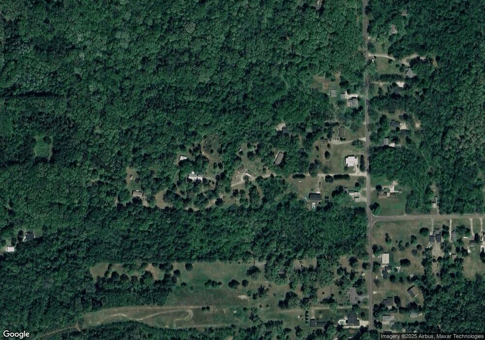
Map
Nearby Homes
- 153 Hidden Forest Rd
- 154 Hidden Forest Rd
- VL E Michigan Ave
- 184 Shadowood Ln
- 97 Shadow Bend Ln
- 173 Strongwood Ave
- 840 Wattles Rd N
- 226 Nixon
- 0 Gavin Ln Unit 17
- 605 Westbrook Ave
- 9604 Natala Ln
- 18264 Loganwood Trail
- 18248 Loganwood Trail
- 323 Wattles Rd S
- Elements 2200 Plan at Loganwood Acres - North
- Elements 2700 Plan at Loganwood Acres - North
- Integrity 2061 V8.1a Plan at Loganwood Acres - North
- Elements 2090 Plan at Loganwood Acres - North
- Integrity 1530 Plan at Loganwood Acres - North
- Integrity 2060 Plan at Loganwood Acres - North
- 16653 10 Mile Rd
- 16645 10 Mile Rd
- 16761 10 Mile Rd
- 16651 10 Mile Rd
- 16555 10 Mile Rd
- 16745 10 Mile Rd
- 16647 10 Mile Rd
- 16643 10 Mile Rd
- 16775 10 Mile Rd
- 16648 10 Mile Rd
- 16742 10 Mile Rd
- 16752 10 Mile Rd
- 16614 10 Mile Rd
- 16549 10 Mile Rd
- 16780 10 Mile Rd
- 16610 10 Mile Rd
- 214 Hidden Forest Rd
- 16913 10 Mile Rd
- 220 Hidden Forest Rd
- 16535 10 Mile Rd