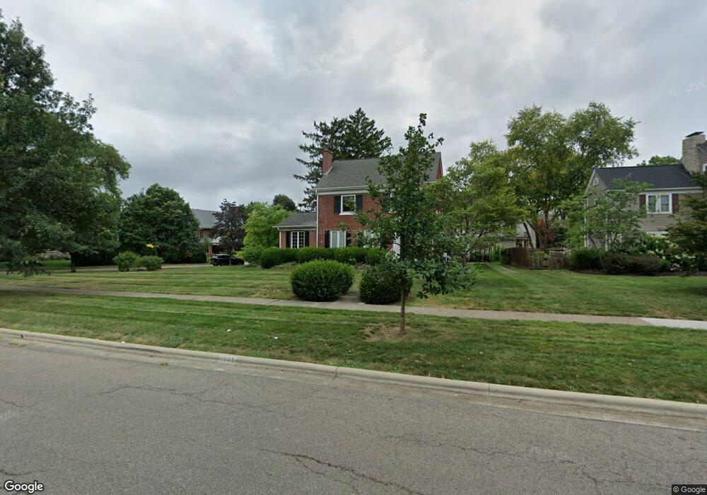
1665 Cambridge Blvd Columbus, OH 43212
Estimated Value: $846,000 - $1,192,000
3
Beds
4
Baths
2,670
Sq Ft
$395/Sq Ft
Est. Value
About This Home
This home is located at 1665 Cambridge Blvd, Columbus, OH 43212 and is currently estimated at $1,053,708, approximately $394 per square foot. 1665 Cambridge Blvd is a home located in Franklin County with nearby schools including Barrington Road Elementary School, Jones Middle School, and Upper Arlington High School.
Ownership History
Date
Name
Owned For
Owner Type
Purchase Details
Closed on
Jan 3, 2018
Sold by
Rofhers Nancy S
Bought by
Roehrs Walter C and Roehrs Nancy S
Current Estimated Value
Purchase Details
Closed on
Jul 8, 1998
Sold by
Roehrs Nancy S
Bought by
Roehrs Walter C
Home Financials for this Owner
Home Financials are based on the most recent Mortgage that was taken out on this home.
Original Mortgage
$81,000
Interest Rate
7.15%
Create a Home Valuation Report for This Property
The Home Valuation Report is an in-depth analysis detailing your home's value as well as a comparison with similar homes in the area
Home Values in the Area
Average Home Value in this Area
Purchase History
| Date | Buyer | Sale Price | Title Company |
|---|---|---|---|
| Roehrs Walter C | -- | None Available | |
| Roehrs Walter C | -- | Transohio Title |
Source: Public Records
Mortgage History
| Date | Status | Borrower | Loan Amount |
|---|---|---|---|
| Closed | Roehrs Walter C | $81,000 |
Source: Public Records
Tax History Compared to Growth
Tax History
| Year | Tax Paid | Tax Assessment Tax Assessment Total Assessment is a certain percentage of the fair market value that is determined by local assessors to be the total taxable value of land and additions on the property. | Land | Improvement |
|---|---|---|---|---|
| 2024 | $16,769 | $299,460 | $149,170 | $150,290 |
| 2023 | $16,597 | $299,460 | $149,170 | $150,290 |
| 2022 | $16,353 | $242,770 | $121,350 | $121,420 |
| 2021 | $14,476 | $242,770 | $121,350 | $121,420 |
| 2020 | $14,348 | $242,770 | $121,350 | $121,420 |
| 2019 | $14,730 | $221,170 | $121,350 | $99,820 |
| 2018 | $7,323 | $221,170 | $121,350 | $99,820 |
| 2017 | $14,617 | $221,170 | $121,350 | $99,820 |
| 2016 | $10,969 | $174,650 | $82,460 | $92,190 |
| 2015 | $5,480 | $174,650 | $82,460 | $92,190 |
| 2014 | $10,972 | $174,650 | $82,460 | $92,190 |
| 2013 | $5,763 | $174,650 | $82,460 | $92,190 |
Source: Public Records
Map
Nearby Homes
- 2015 W 5th Ave Unit 211
- 2015 W 5th Ave Unit 102
- 2015 W 5th Ave Unit 108
- 1561 Glenn Ave
- 1631 Roxbury Rd Unit F3
- 1631 Roxbury Rd Unit B6
- 1782 Wyandotte Rd
- 1733 Elmwood Ave
- 1661 Ashland Ave Unit 663
- 1459 Elmwood Ave Unit 1459
- 1313 Lincoln Rd
- 2110 Northwest Blvd
- 1398 Lower Green Cir Unit 1398
- 1301 Lake Shore Dr Unit 199
- 1475 W 3rd Ave Unit 204
- 1364 W 7th Ave
- 00 W 7th Ave
- 1869 Tewksbury Rd
- 2700 Mc Kinley Ave
- 1214 Lake Shore Dr Unit C
- 1679 Cambridge Blvd
- 1930 Concord Rd
- 1645 Cambridge Blvd
- 1925 Concord Rd
- 1938 Concord Rd
- 1931 Concord Rd
- 1695 Cambridge Blvd
- 1946 Concord Rd
- 1937 Concord Rd
- 1660 Cambridge Blvd
- 1925 W Chelsea Rd
- 1670 Cambridge Blvd
- 1652 Cambridge Blvd
- 1678 Cambridge Blvd
- 1684 Cambridge Blvd
- 1644 Cambridge Blvd
- 1933 W Chelsea Rd
- 1945 Concord Rd
- 1696 Bedford Rd
- 1952 Concord Rd